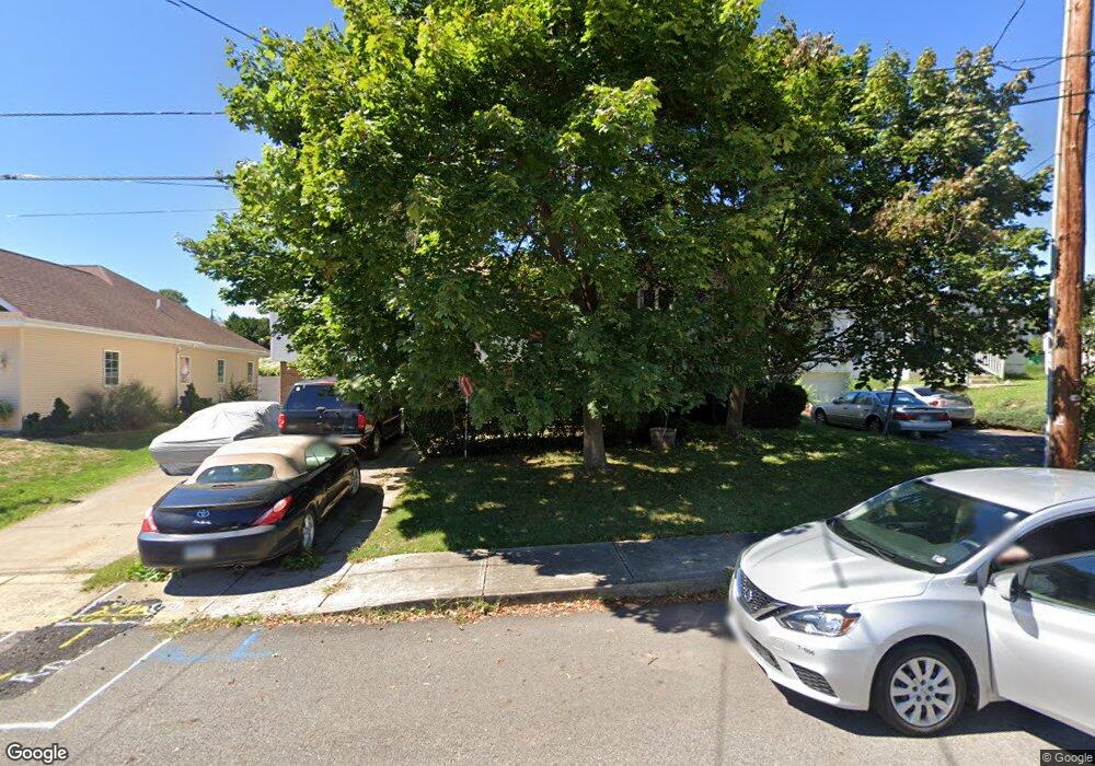
406 Lincoln St Taylor, PA 18517
Estimated Value: $116,884 - $290,000
--
Bed
--
Bath
--
Sq Ft
8,973
Sq Ft Lot
About This Home
This home is located at 406 Lincoln St, Taylor, PA 18517 and is currently estimated at $240,971. 406 Lincoln St is a home located in Lackawanna County with nearby schools including Willard Middle School, Riverside Junior/Senior High School, and Triboro Christian Academy.
Ownership History
Date
Name
Owned For
Owner Type
Purchase Details
Closed on
Jan 27, 2021
Sold by
Barnoski Richard and Barnoski Regina M
Bought by
Barnoski Richard
Current Estimated Value
Home Financials for this Owner
Home Financials are based on the most recent Mortgage that was taken out on this home.
Original Mortgage
$134,400
Outstanding Balance
$98,834
Interest Rate
2.65%
Mortgage Type
New Conventional
Estimated Equity
$142,137
Purchase Details
Closed on
Aug 18, 1986
Bought by
Barnoski Regina M and Barnoski Richard
Create a Home Valuation Report for This Property
The Home Valuation Report is an in-depth analysis detailing your home's value as well as a comparison with similar homes in the area
Home Values in the Area
Average Home Value in this Area
Purchase History
| Date | Buyer | Sale Price | Title Company |
|---|---|---|---|
| Barnoski Richard | -- | Northeast Settlement Company | |
| Barnoski Regina M | $9,000 | -- |
Source: Public Records
Mortgage History
| Date | Status | Borrower | Loan Amount |
|---|---|---|---|
| Open | Barnoski Richard | $134,400 |
Source: Public Records
Tax History Compared to Growth
Tax History
| Year | Tax Paid | Tax Assessment Tax Assessment Total Assessment is a certain percentage of the fair market value that is determined by local assessors to be the total taxable value of land and additions on the property. | Land | Improvement |
|---|---|---|---|---|
| 2025 | $4,338 | $18,000 | $3,000 | $15,000 |
| 2024 | $3,869 | $18,000 | $3,000 | $15,000 |
| 2023 | $3,869 | $18,000 | $3,000 | $15,000 |
| 2022 | $3,869 | $18,000 | $3,000 | $15,000 |
| 2021 | $3,869 | $18,000 | $3,000 | $15,000 |
| 2020 | $3,793 | $18,000 | $3,000 | $15,000 |
| 2019 | $3,613 | $18,000 | $3,000 | $15,000 |
| 2018 | $3,550 | $18,000 | $3,000 | $15,000 |
| 2017 | $3,448 | $18,000 | $3,000 | $15,000 |
| 2016 | $1,896 | $18,000 | $3,000 | $15,000 |
| 2015 | -- | $18,000 | $3,000 | $15,000 |
| 2014 | -- | $18,000 | $3,000 | $15,000 |
Source: Public Records
Map
Nearby Homes
- 701-703 Union St
- 0 Union St Unit GSBSC251501
- Parcel B Davis Ct
- 112 E Taylor St
- 115 W High St
- 136 E Grove St
- 0 Cooper St Unit GSBSC255606
- Lot 02 Sibley Ave
- Lot 02 Casey Ave
- 133 Corcoran St
- 0 Oak St Unit GSBSC255768
- 736 Oak St
- 103 Davis St
- 170 2nd St
- 448-450 N Main St
- 2932 Penman St
- 307 Charles St
- 710 Maple St
- 717 Beech St
- 800 W Oak St
- 404 Lincoln St
- 408 Lincoln St
- 400 Lincoln St
- 409 Jefferson St Unit 411
- 413 Jefferson St
- 407 Jefferson St
- 403 Lincoln St
- 405 Lincoln St
- 622 W Atherton St
- 705 W Taylor St
- 415 Jefferson St
- 401 Lincoln St
- 709 W Taylor St
- 711 W Taylor St
- 701 W Taylor St Unit 703
- 713 W Taylor St Unit 715
- 621 W Taylor St
- 620 W Atherton St
- 620 W Atherton St
- 719 W Taylor St