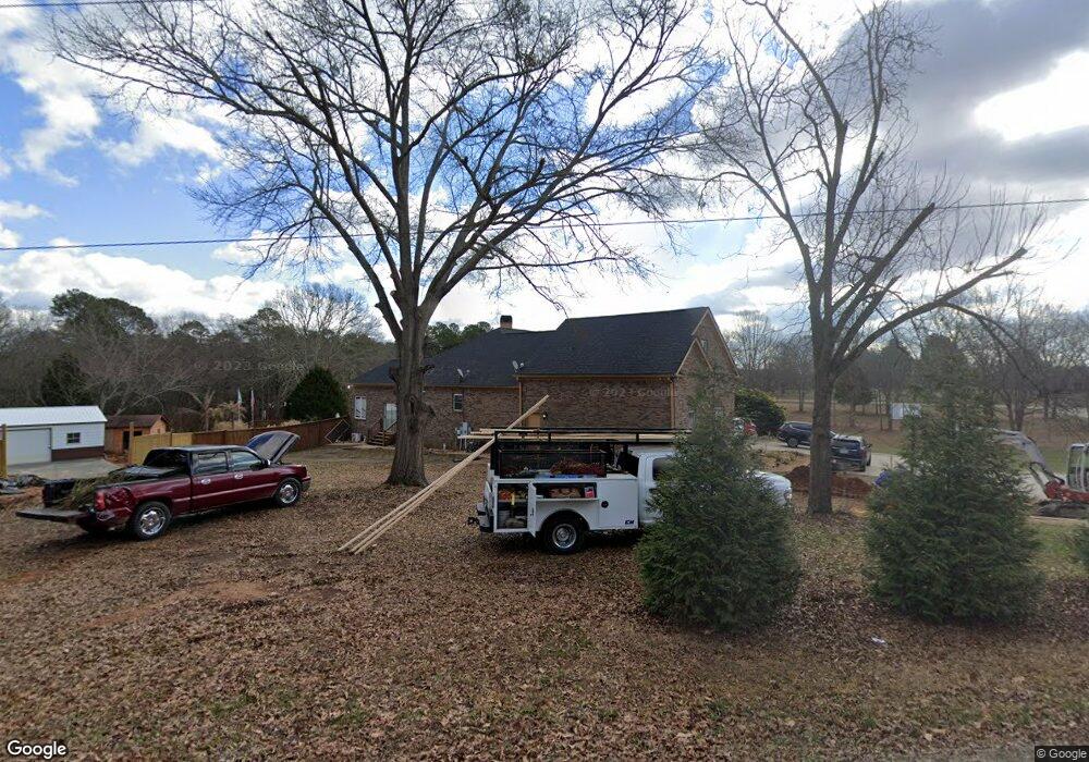
406 Manning Gin Rd Monroe, GA 30656
Estimated Value: $642,000 - $908,703
4
Beds
4
Baths
8,317
Sq Ft
$91/Sq Ft
Est. Value
About This Home
This home is located at 406 Manning Gin Rd, Monroe, GA 30656 and is currently estimated at $753,426, approximately $90 per square foot. 406 Manning Gin Rd is a home located in Barrow County with nearby schools including Bethlehem Elementary School, Haymon-Morris Middle School, and Apalachee High School.
Ownership History
Date
Name
Owned For
Owner Type
Purchase Details
Closed on
Nov 28, 2018
Sold by
Rodriguez Gerardo
Bought by
Juarez Jose Ignacio and Juarez Bessy
Current Estimated Value
Home Financials for this Owner
Home Financials are based on the most recent Mortgage that was taken out on this home.
Original Mortgage
$282,000
Outstanding Balance
$244,696
Interest Rate
4.8%
Mortgage Type
New Conventional
Estimated Equity
$508,730
Create a Home Valuation Report for This Property
The Home Valuation Report is an in-depth analysis detailing your home's value as well as a comparison with similar homes in the area
Home Values in the Area
Average Home Value in this Area
Purchase History
| Date | Buyer | Sale Price | Title Company |
|---|---|---|---|
| Juarez Jose Ignacio | $370,000 | -- |
Source: Public Records
Mortgage History
| Date | Status | Borrower | Loan Amount |
|---|---|---|---|
| Open | Juarez Jose Ignacio | $282,000 |
Source: Public Records
Tax History
| Year | Tax Paid | Tax Assessment Tax Assessment Total Assessment is a certain percentage of the fair market value that is determined by local assessors to be the total taxable value of land and additions on the property. | Land | Improvement |
|---|---|---|---|---|
| 2025 | $7,559 | $316,887 | $41,576 | $275,311 |
| 2024 | $7,178 | $294,630 | $41,576 | $253,054 |
| 2023 | $7,138 | $294,630 | $41,576 | $253,054 |
| 2022 | $6,335 | $224,692 | $41,576 | $183,116 |
| 2021 | $6,095 | $203,496 | $33,260 | $170,236 |
| 2020 | $5,899 | $196,351 | $26,115 | $170,236 |
| 2019 | $4,537 | $158,319 | $26,115 | $132,204 |
| 2018 | $4,813 | $158,319 | $26,115 | $132,204 |
| 2017 | $4,210 | $144,577 | $26,115 | $118,462 |
| 2016 | $4,246 | $140,228 | $26,115 | $114,114 |
| 2015 | $4,304 | $141,448 | $26,115 | $115,333 |
| 2014 | $4,073 | $129,348 | $12,796 | $116,552 |
| 2013 | -- | $94,026 | $12,796 | $81,230 |
Source: Public Records
Map
Nearby Homes
- 465 Cade Ct
- 1224 Dale Dr
- 463 Gin Mill Dr
- 439 Vinings Ct
- 590 Manning Gin Rd
- 1101 Kailie Dr
- 864 Ode Peppers Ct
- 884 Jackson Trail Rd
- 916 Elijah Way
- 3207 Jack Glass Rd
- 1210 Austin Rd
- 698 Smith Cemetery Rd
- 123 Regency Dr
- 269 Knightsbridge Ln
- 259 Dunagan Ct
- 222 Knightsbridge Ln
- 812 Christmas Ave
- 784 Manger Ave
- 103 McElhannon Rd SE
- 1408 Wyndham Way
- 1018 Phillips Rd NW
- 1002 Phillips Rd NW
- 448 Manning Gin Rd
- 403 Manning Gin Rd
- 1201 Dale Dr
- 1028 Phillips Rd NW
- 1203 Dale Dr
- 1202 Dale Dr
- 1205 Dale Dr
- 1204 Dale Dr
- 456 Manning Gin Rd
- 1207 Dale Dr
- 453 Manning Gin Rd
- 1206 Dale Dr
- 1209 Dale Dr
- 368 Manning Gin Rd
- 462 Cade Ct
- 1211 Dale Dr
- 1211 Dale Dr
- 375 Manning Gin Rd
Your Personal Tour Guide
Ask me questions while you tour the home.