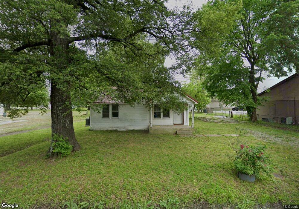
406 Newton St Paragould, AR 72450
Estimated Value: $66,040 - $92,000
2
Beds
1
Bath
924
Sq Ft
$82/Sq Ft
Est. Value
About This Home
This home is located at 406 Newton St, Paragould, AR 72450 and is currently estimated at $75,510, approximately $81 per square foot. 406 Newton St is a home located in Greene County with nearby schools including Paragould High School and St. Mary's Catholic School & Preschool.
Ownership History
Date
Name
Owned For
Owner Type
Purchase Details
Closed on
Dec 23, 2024
Sold by
Woods Aundra
Bought by
Prunty Korreen
Current Estimated Value
Purchase Details
Closed on
Oct 4, 2021
Sold by
Lenderman Tammie Sue
Bought by
Woods Aundra
Purchase Details
Closed on
Mar 20, 2014
Sold by
Farrell Gable Debra Ann and Farrell Debra Ann
Bought by
Lenderman Ricky Lee and Lenderman Tammie Sue
Purchase Details
Closed on
Jan 22, 1991
Bought by
Debra Ann Farrell
Purchase Details
Closed on
Mar 11, 1986
Bought by
Alma William M and Alma Gean Penny
Purchase Details
Closed on
Jan 30, 1986
Bought by
Cole Terry E and Cole Carolyn J
Create a Home Valuation Report for This Property
The Home Valuation Report is an in-depth analysis detailing your home's value as well as a comparison with similar homes in the area
Home Values in the Area
Average Home Value in this Area
Purchase History
| Date | Buyer | Sale Price | Title Company |
|---|---|---|---|
| Prunty Korreen | -- | None Listed On Document | |
| Woods Aundra | $1,250 | None Available | |
| Lenderman Ricky Lee | $10,000 | None Available | |
| Debra Ann Farrell | -- | -- | |
| Alma William M | -- | -- | |
| Cole Terry E | -- | -- |
Source: Public Records
Tax History Compared to Growth
Tax History
| Year | Tax Paid | Tax Assessment Tax Assessment Total Assessment is a certain percentage of the fair market value that is determined by local assessors to be the total taxable value of land and additions on the property. | Land | Improvement |
|---|---|---|---|---|
| 2024 | $219 | $5,580 | $800 | $4,780 |
| 2023 | $199 | $4,320 | $400 | $3,920 |
| 2022 | $199 | $4,320 | $400 | $3,920 |
| 2021 | $177 | $4,320 | $400 | $3,920 |
| 2020 | $161 | $3,490 | $600 | $2,890 |
| 2019 | $161 | $3,490 | $600 | $2,890 |
| 2018 | $161 | $3,490 | $600 | $2,890 |
| 2017 | $156 | $3,490 | $600 | $2,890 |
| 2016 | $153 | $3,490 | $600 | $2,890 |
| 2015 | $141 | $3,130 | $600 | $2,530 |
| 2014 | $141 | $3,130 | $600 | $2,530 |
Source: Public Records
Map
Nearby Homes
- 1303 Royal St
- 514 Greg Dr
- 1209 Mary St
- 307 C St
- 822 N Vance
- 1039 N 4th St
- 738 N 2nd St
- 1101 E Northend Ave
- 109 E Plum St
- 0 N 15th Ave Unit E Walnut St 25021763
- 620 Lots 4 & 5 N 5th St
- 615 N Pruett St
- 26 Bard Rd
- 346 N 6th Ave
- 713 Thiel Rd
- 619 N 3rd St
- 1209 Cole St
- 3 Purcell Rd
- 2111 Rector Rd
- 504 W Morgan St