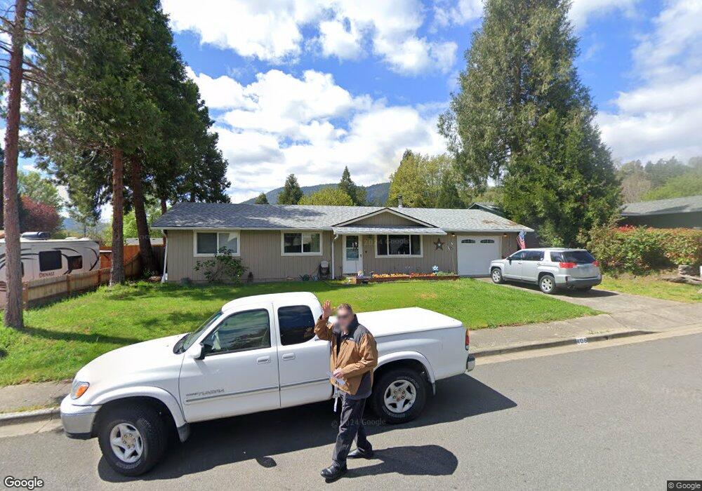
406 Nugget Dr Rogue River, OR 97537
Estimated Value: $303,489 - $334,000
3
Beds
2
Baths
1,144
Sq Ft
$279/Sq Ft
Est. Value
About This Home
This home is located at 406 Nugget Dr, Rogue River, OR 97537 and is currently estimated at $319,622, approximately $279 per square foot. 406 Nugget Dr is a home located in Jackson County with nearby schools including Rogue River Elementary School, South Valley Academy, and Rogue River Junior/Senior High School.
Ownership History
Date
Name
Owned For
Owner Type
Purchase Details
Closed on
Feb 6, 1998
Sold by
Cermak Nancy and Westin Myrtle
Bought by
Cermak Daniel J and Cermak Nancy
Current Estimated Value
Home Financials for this Owner
Home Financials are based on the most recent Mortgage that was taken out on this home.
Original Mortgage
$60,000
Outstanding Balance
$10,574
Interest Rate
6.95%
Estimated Equity
$309,048
Create a Home Valuation Report for This Property
The Home Valuation Report is an in-depth analysis detailing your home's value as well as a comparison with similar homes in the area
Home Values in the Area
Average Home Value in this Area
Purchase History
| Date | Buyer | Sale Price | Title Company |
|---|---|---|---|
| Cermak Daniel J | $85,660 | -- |
Source: Public Records
Mortgage History
| Date | Status | Borrower | Loan Amount |
|---|---|---|---|
| Open | Cermak Daniel J | $60,000 |
Source: Public Records
Tax History Compared to Growth
Tax History
| Year | Tax Paid | Tax Assessment Tax Assessment Total Assessment is a certain percentage of the fair market value that is determined by local assessors to be the total taxable value of land and additions on the property. | Land | Improvement |
|---|---|---|---|---|
| 2025 | $2,214 | $155,050 | $68,350 | $86,700 |
| 2024 | $2,214 | $150,540 | $66,360 | $84,180 |
| 2023 | $2,142 | $146,160 | $64,420 | $81,740 |
| 2022 | $2,092 | $146,160 | $64,420 | $81,740 |
| 2021 | $2,033 | $141,910 | $62,540 | $79,370 |
| 2020 | $1,981 | $137,780 | $60,720 | $77,060 |
| 2019 | $1,933 | $129,880 | $57,240 | $72,640 |
| 2018 | $1,882 | $126,100 | $55,570 | $70,530 |
| 2017 | $1,840 | $126,100 | $55,570 | $70,530 |
| 2016 | $1,793 | $118,870 | $52,380 | $66,490 |
| 2015 | $1,743 | $118,870 | $47,520 | $71,350 |
| 2014 | $1,687 | $112,050 | $44,780 | $67,270 |
Source: Public Records
Map
Nearby Homes
- 105 Brolin Ct
- 2661 Wards Creek Rd
- 182 Wards Creek Rd
- 305 Woodville Way
- 300 Woodville Way
- 5525 Red Tail Ln
- 5500 Red Tail Ln
- 904 Broadway St Unit 503
- 419 E Main St
- 111 Cedar St
- TL 1303 E Main St
- 0 Oak St
- 207 Madrone St
- 202 Arbor St
- 405 Magerle Ln
- 815 Pine St Unit 10
- 970 Wards Creek Rd
- 4529 E Evans Creek Rd
- 208 W Main St
- 299 Foothill Blvd