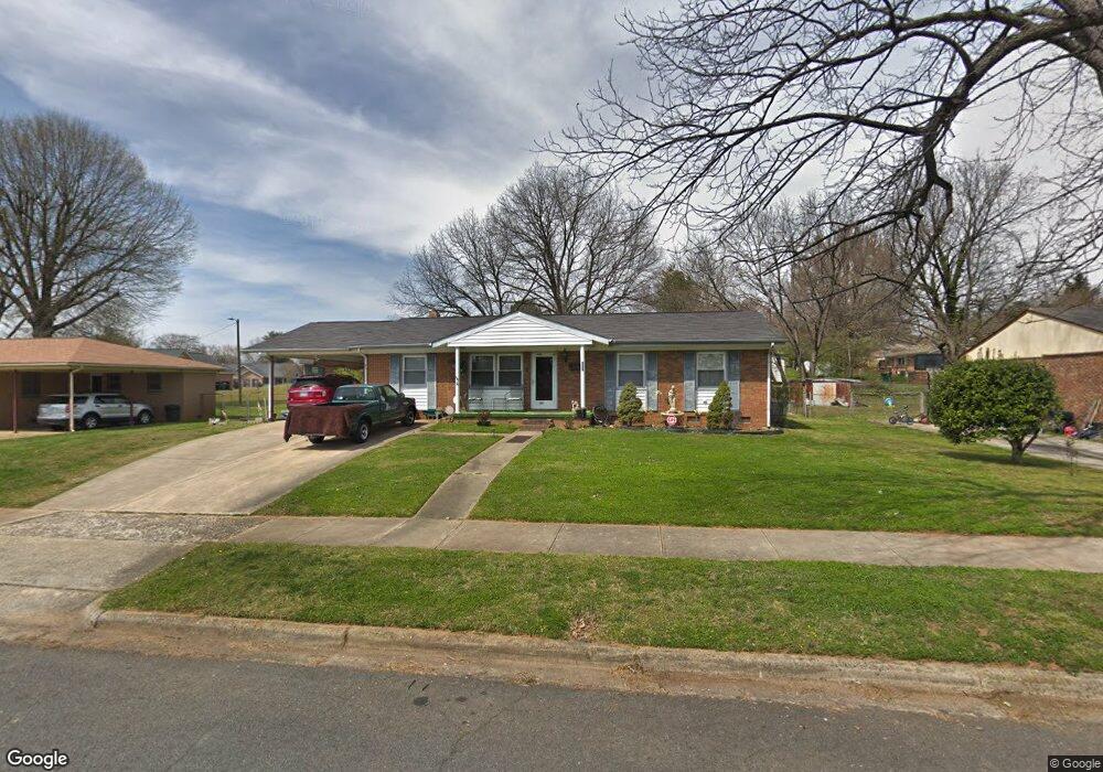
406 S Clay St Salisbury, NC 28144
Estimated Value: $227,229 - $279,000
--
Bed
2
Baths
2,004
Sq Ft
$124/Sq Ft
Est. Value
About This Home
This home is located at 406 S Clay St, Salisbury, NC 28144 and is currently estimated at $247,807, approximately $123 per square foot. 406 S Clay St is a home located in Rowan County with nearby schools including Elizabeth Duncan Koontz Elementary School, Knox Middle School, and North Rowan Middle School.
Ownership History
Date
Name
Owned For
Owner Type
Purchase Details
Closed on
Aug 13, 2020
Sold by
Tugman William and Tugman Gloria
Bought by
Grimsley Hosie and Grimsley Wanda
Current Estimated Value
Home Financials for this Owner
Home Financials are based on the most recent Mortgage that was taken out on this home.
Original Mortgage
$97,500
Outstanding Balance
$86,489
Interest Rate
3%
Mortgage Type
New Conventional
Estimated Equity
$161,318
Create a Home Valuation Report for This Property
The Home Valuation Report is an in-depth analysis detailing your home's value as well as a comparison with similar homes in the area
Home Values in the Area
Average Home Value in this Area
Purchase History
| Date | Buyer | Sale Price | Title Company |
|---|---|---|---|
| Grimsley Hosie | $140,000 | None Available |
Source: Public Records
Mortgage History
| Date | Status | Borrower | Loan Amount |
|---|---|---|---|
| Open | Grimsley Hosie | $97,500 |
Source: Public Records
Tax History Compared to Growth
Tax History
| Year | Tax Paid | Tax Assessment Tax Assessment Total Assessment is a certain percentage of the fair market value that is determined by local assessors to be the total taxable value of land and additions on the property. | Land | Improvement |
|---|---|---|---|---|
| 2025 | $2,443 | $204,259 | $23,163 | $181,096 |
| 2024 | $2,443 | $204,259 | $23,163 | $181,096 |
| 2023 | $2,443 | $204,259 | $23,163 | $181,096 |
| 2022 | $1,680 | $121,982 | $18,530 | $103,452 |
| 2021 | $1,680 | $121,982 | $18,530 | $103,452 |
| 2020 | $1,680 | $121,982 | $18,530 | $103,452 |
| 2019 | $1,680 | $121,982 | $18,530 | $103,452 |
| 2018 | $1,382 | $101,751 | $18,530 | $83,221 |
| 2017 | $1,375 | $101,751 | $18,530 | $83,221 |
| 2016 | $1,338 | $101,751 | $18,530 | $83,221 |
| 2015 | $1,346 | $101,751 | $18,530 | $83,221 |
| 2014 | $1,384 | $105,913 | $18,530 | $87,383 |
Source: Public Records
Map
Nearby Homes
- 430 E Horah St Unit 32
- 301 S Shaver St
- 403 S Long St
- 420 E Bank St
- 409 E Fisher St
- 119 S Lee St Unit 3
- 500 W Council St
- 209 S Main St
- 205 N Martin Luther King jr Ave
- 300 S Main St Unit K
- 720 E Council St
- 5 Cooper St
- 613 E Liberty St
- 7 Cooper St
- 705 E Liberty St
- 9 Cooper St
- 115 W Thomas St
- 0 Harrel St
- 316 N Clay St
- 322 S Church St
- 404 S Clay St
- 416 S Clay St
- 513 E Horah St
- 501 Sonny Acres Dr
- 527 E Horah St
- 511 E Horah St
- 411 S Shaver St
- 424 S Clay St
- 507 Sonny Acres Dr
- 431 S Clay St
- 405 S Clay St
- 407 S Shaver St
- 407 S Shaver St
- 411 S Clay St
- 601 E Horah St
- 501 E Horah St
- 502 S Clay St
- 502 Sonny Acres Dr
- 528 E Horah St
- 513 Sonny Acres Dr