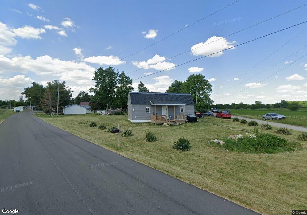
406 W Grove St Colfax, IN 46035
Estimated Value: $168,000 - $239,704
2
Beds
2
Baths
1,260
Sq Ft
$156/Sq Ft
Est. Value
About This Home
This home is located at 406 W Grove St, Colfax, IN 46035 and is currently estimated at $196,426, approximately $155 per square foot. 406 W Grove St is a home with nearby schools including Clinton Prairie Elementary School and Clinton Prairie Junior/Senior High School.
Ownership History
Date
Name
Owned For
Owner Type
Purchase Details
Closed on
Aug 31, 2005
Sold by
Delgado Tamra L and Delgado Tamara L
Bought by
Hall Noreen
Current Estimated Value
Purchase Details
Closed on
Apr 23, 2001
Sold by
Hall Raymond T and Hall Noreen
Bought by
Hall Noreen and Delgado Tamara
Create a Home Valuation Report for This Property
The Home Valuation Report is an in-depth analysis detailing your home's value as well as a comparison with similar homes in the area
Home Values in the Area
Average Home Value in this Area
Purchase History
| Date | Buyer | Sale Price | Title Company |
|---|---|---|---|
| Hall Noreen | -- | None Available | |
| Hall Noreen | -- | -- |
Source: Public Records
Tax History Compared to Growth
Tax History
| Year | Tax Paid | Tax Assessment Tax Assessment Total Assessment is a certain percentage of the fair market value that is determined by local assessors to be the total taxable value of land and additions on the property. | Land | Improvement |
|---|---|---|---|---|
| 2024 | $1,978 | $197,100 | $18,100 | $179,000 |
| 2023 | $2,171 | $200,000 | $18,100 | $181,900 |
| 2022 | $1,801 | $167,700 | $18,100 | $149,600 |
| 2021 | $1,273 | $112,700 | $18,100 | $94,600 |
| 2020 | $996 | $98,300 | $18,100 | $80,200 |
| 2019 | $1,001 | $99,100 | $18,100 | $81,000 |
| 2018 | $1,099 | $100,400 | $18,100 | $82,300 |
| 2017 | $1,021 | $94,600 | $12,600 | $82,000 |
| 2016 | $836 | $36,900 | $13,100 | $23,800 |
| 2014 | $854 | $37,600 | $13,100 | $24,500 |
Source: Public Records
Map
Nearby Homes
- 404 W Franklin St
- 208 E Midway St
- 108 N Carter St
- 304 W Jefferson St
- 7001 N 1075 W
- 7706 N 1000 E
- 7279 N 950 E
- 7018 S County Road 430 W
- Juniper Plan at Westfall Place
- Chestnut Plan at Westfall Place
- Walnut Plan at Westfall Place
- Ironwood Plan at Westfall Place
- Empress Plan at Westfall Place
- Ashton Plan at Westfall Place
- Spruce Plan at Westfall Place
- Palmetto Plan at Westfall Place
- Bradford Plan at Westfall Place
- Aspen II Plan at Westfall Place
- Norway Plan at Westfall Place
- Cooper Plan at Westfall Place
- 405 W Midway St
- 404 W Grove St
- 401 W Midway St
- 402 W Midway St
- 310 W Groves St
- 400 W Midway St
- 310 W Midway St
- 107 W Grove St
- 305 W Midway St
- 306 W Midway St
- 301 W Midway St
- 300 W Midway St
- 0 W Grove St Unit 201318167
- 0 W Grove St Unit 201449712
- 0 W Grove St Unit 21249815
- 402 S Meridian St
- 210 W Grove St
- 400 S Meridian St
- 210 W Groves St
- 210 W Midway St