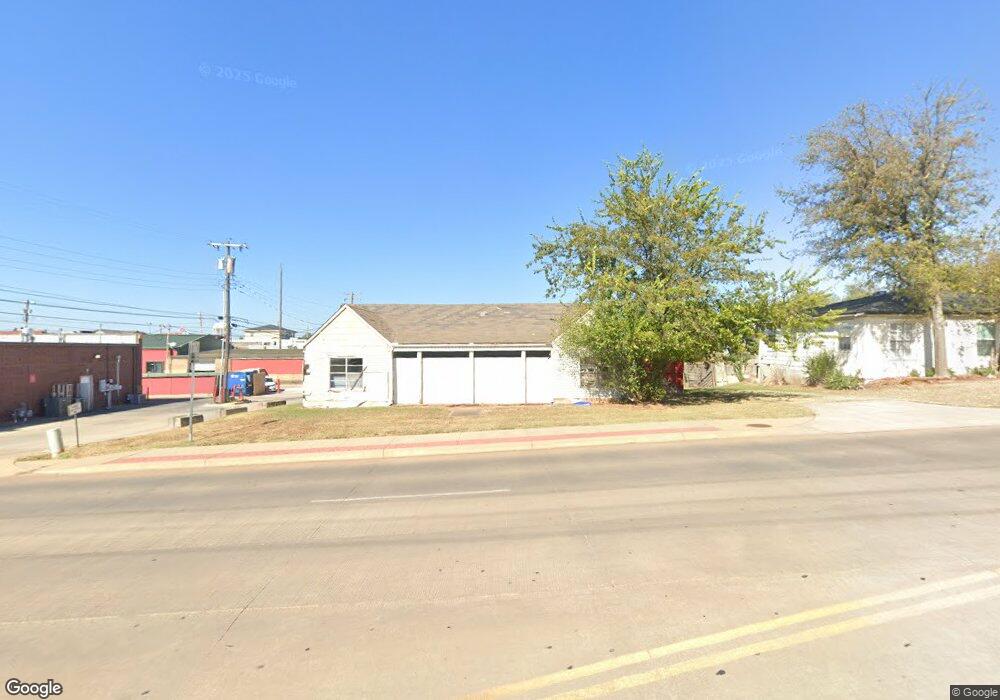
406 W Independence St Shawnee, OK 74804
Estimated Value: $155,000
4
Beds
2
Baths
1,436
Sq Ft
$108/Sq Ft
Est. Value
About This Home
This home is located at 406 W Independence St, Shawnee, OK 74804 and is currently estimated at $155,000, approximately $107 per square foot. 406 W Independence St is a home located in Pottawatomie County with nearby schools including Sequoyah Elementary School, Shawnee Middle School, and Shawnee High School.
Ownership History
Date
Name
Owned For
Owner Type
Purchase Details
Closed on
Dec 31, 2008
Sold by
Steward Michael and Steward Alice Gay
Bought by
Shawnee Animal Hospital Inc
Current Estimated Value
Purchase Details
Closed on
Sep 8, 2004
Sold by
Diamond Harry Inc
Bought by
Steward Mike and Steward Gay
Purchase Details
Closed on
Sep 22, 1998
Sold by
Angler Investments
Bought by
Harry H Diamond Inc
Purchase Details
Closed on
Jun 6, 1997
Sold by
Wall Kenneth and Wall Karen
Bought by
Angler Investments
Create a Home Valuation Report for This Property
The Home Valuation Report is an in-depth analysis detailing your home's value as well as a comparison with similar homes in the area
Home Values in the Area
Average Home Value in this Area
Purchase History
| Date | Buyer | Sale Price | Title Company |
|---|---|---|---|
| Shawnee Animal Hospital Inc | -- | None Available | |
| Steward Mike | $24,000 | -- | |
| Harry H Diamond Inc | $39,000 | -- | |
| Angler Investments | $29,000 | -- |
Source: Public Records
Tax History Compared to Growth
Tax History
| Year | Tax Paid | Tax Assessment Tax Assessment Total Assessment is a certain percentage of the fair market value that is determined by local assessors to be the total taxable value of land and additions on the property. | Land | Improvement |
|---|---|---|---|---|
| 2024 | $467 | $4,690 | $595 | $4,095 |
| 2023 | $467 | $4,467 | $561 | $3,906 |
| 2022 | $436 | $4,254 | $534 | $3,720 |
| 2021 | $408 | $4,254 | $534 | $3,720 |
| 2020 | $390 | $3,860 | $485 | $3,375 |
| 2019 | $384 | $3,676 | $462 | $3,214 |
| 2018 | $358 | $3,501 | $450 | $3,051 |
| 2017 | $336 | $3,334 | $430 | $2,904 |
| 2016 | $324 | $3,175 | $415 | $2,760 |
| 2015 | $302 | $3,024 | $395 | $2,629 |
| 2014 | $288 | $2,880 | $1,440 | $1,440 |
Source: Public Records
Map
Nearby Homes
- 1324 N Park Ave
- 1710 N Park Ave
- 1217 N Market Ave
- 1607 N Beard Ave
- 1834 N Market Ave
- 1012 N Chapman Ave
- 1006 N Market Ave
- 920 N Kickapoo Ave
- 1925 N Park Ave
- 1510 N Union Ave
- 1816 N Bell Ave
- 1817 N Bell Ave
- 1017 N Bdwy Ave
- 318 W Dill St
- 320 W Dill St
- 317 W Dill St
- 1901 N Bell Ave
- 210 E Cammack
- 810 N Kickapoo Ave
- 2106 N Aydelotte Ave
- 402 W Independence St
- 1506 N Louisa Ave
- 1426 N Louisa Ave
- 1508 N Louisa Ave
- 1418 N Louisa Ave
- 324 W Independence St
- 1416 N Louisa Ave
- 1505 N Louisa Ave
- 318 W Independence St
- 1509 N Louisa Ave
- 315 W Independence St
- 1412 N Louisa Ave
- 1514 N Louisa Ave
- 1511 N Louisa Ave
- 1513 N Louisa Ave
- 1531 N Kickapoo Ave
- 1422 N Louisa Ave
- 1417 N Louisa Ave
- 1515 N Louisa Ave
- 1328 N Louisa Ave