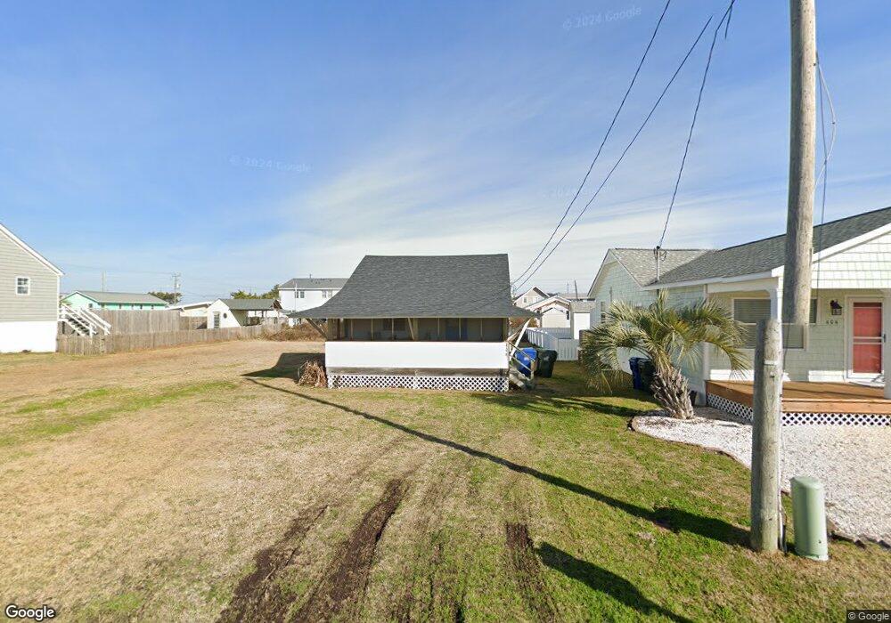
406 W Terminal Blvd Atlantic Beach, NC 28512
Estimated Value: $363,095 - $454,000
1
Bed
1
Bath
400
Sq Ft
$1,040/Sq Ft
Est. Value
About This Home
This home is located at 406 W Terminal Blvd, Atlantic Beach, NC 28512 and is currently estimated at $416,024, approximately $1,040 per square foot. 406 W Terminal Blvd is a home located in Carteret County with nearby schools including Morehead City Primary School, Morehead Elementary School at Camp Glenn, and Morehead City Middle School.
Ownership History
Date
Name
Owned For
Owner Type
Purchase Details
Closed on
Mar 22, 2005
Sold by
Dalton Carolyn J
Bought by
Ellingsworth Sherry Y
Current Estimated Value
Home Financials for this Owner
Home Financials are based on the most recent Mortgage that was taken out on this home.
Original Mortgage
$75,000
Outstanding Balance
$37,998
Interest Rate
5.6%
Mortgage Type
Unknown
Estimated Equity
$378,026
Create a Home Valuation Report for This Property
The Home Valuation Report is an in-depth analysis detailing your home's value as well as a comparison with similar homes in the area
Home Values in the Area
Average Home Value in this Area
Purchase History
| Date | Buyer | Sale Price | Title Company |
|---|---|---|---|
| Ellingsworth Sherry Y | $100,000 | None Available |
Source: Public Records
Mortgage History
| Date | Status | Borrower | Loan Amount |
|---|---|---|---|
| Open | Ellingsworth Sherry Y | $75,000 |
Source: Public Records
Tax History
| Year | Tax Paid | Tax Assessment Tax Assessment Total Assessment is a certain percentage of the fair market value that is determined by local assessors to be the total taxable value of land and additions on the property. | Land | Improvement |
|---|---|---|---|---|
| 2025 | $895 | $354,059 | $274,470 | $79,589 |
| 2024 | $485 | $113,958 | $84,588 | $29,370 |
| 2023 | $402 | $113,958 | $84,588 | $29,370 |
| 2022 | $391 | $113,958 | $84,588 | $29,370 |
| 2021 | $391 | $113,958 | $84,588 | $29,370 |
| 2020 | $391 | $113,958 | $84,588 | $29,370 |
| 2019 | $474 | $148,152 | $129,108 | $19,044 |
| 2017 | $474 | $148,152 | $129,108 | $19,044 |
| 2016 | $474 | $148,152 | $129,108 | $19,044 |
| 2015 | $459 | $148,152 | $129,108 | $19,044 |
| 2014 | $388 | $124,268 | $103,586 | $20,682 |
Source: Public Records
Map
Nearby Homes
- 108 W Terminal Blvd Unit B
- 308 W Bogue Blvd
- 107 Ocean Ridge Dr
- 202 W Atlantic Blvd
- 111 Ocean Ridge Dr
- 121 Sound Dr
- 602 Ft MacOn Rd W Unit 231
- 602 Ft MacOn Rd W Unit 249
- 602 W Fort MacOn Rd Unit 116
- 602 W Fort MacOn Rd Unit 139
- 602 W Fort MacOn Rd Unit 115
- 602 W Fort MacOn Rd Unit 233
- 602 Ft MacOn Rd W Unit 132
- 602 W Fort MacOn Rd Unit 128
- 602 Ft MacOn Rd W Unit 148
- 602 W Fort MacOn Rd Unit 135
- 602 W Fort MacOn Rd Unit 118
- 602 Ft MacOn Rd W Unit 117
- 108 N Kinston Ave
- 104 Atlantic Beach Causeway
- 404 W Terminal Blvd
- 410 W Terminal Blvd
- 407 W Bogue Blvd
- 405 W Bogue Blvd
- 414 W Terminal Blvd
- 403 W Bogue Blvd
- 411 W Bogue Blvd
- 411 W Bogue Blvd
- 411 W Bogue Blvd Unit B
- 411 W Bogue Blvd Unit B
- 409 W Bogue Blvd
- 409 W Bogue Blvd
- 401 W Bogue Blvd
- 409 W Terminal Blvd
- 403 W Terminal Blvd
- 415 W Bogue Blvd
- 411 W Terminal Blvd
- 416 W Terminal Blvd
- 413 W Terminal Blvd
- 201 S Durham St
Your Personal Tour Guide
Ask me questions while you tour the home.