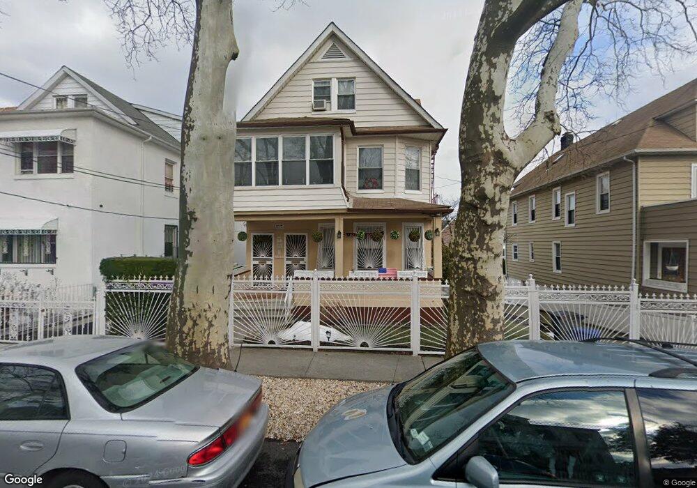
4060 Amundson Ave Bronx, NY 10466
Edenwald NeighborhoodEstimated Value: $894,000 - $1,164,000
--
Bed
--
Bath
4,015
Sq Ft
$264/Sq Ft
Est. Value
About This Home
This home is located at 4060 Amundson Ave, Bronx, NY 10466 and is currently estimated at $1,060,333, approximately $264 per square foot. 4060 Amundson Ave is a home located in Bronx County with nearby schools including P.S. 68 - Bronx, One World Middle School At Edenwald, and Baychester Middle School.
Ownership History
Date
Name
Owned For
Owner Type
Purchase Details
Closed on
Aug 29, 2024
Sold by
Bennett Lewie L and Bennett Yvonne M
Bought by
Bennett Yvonne M
Current Estimated Value
Home Financials for this Owner
Home Financials are based on the most recent Mortgage that was taken out on this home.
Original Mortgage
$176,891
Outstanding Balance
$175,042
Interest Rate
6.85%
Mortgage Type
Purchase Money Mortgage
Estimated Equity
$885,291
Purchase Details
Closed on
Aug 12, 1997
Sold by
Raimondo Andrew and Raimondo Joanne
Bought by
Bennett Lewie L and Bennett Yvonne M
Create a Home Valuation Report for This Property
The Home Valuation Report is an in-depth analysis detailing your home's value as well as a comparison with similar homes in the area
Home Values in the Area
Average Home Value in this Area
Purchase History
| Date | Buyer | Sale Price | Title Company |
|---|---|---|---|
| Bennett Yvonne M | -- | -- | |
| Bennett Lewie L | $250,000 | The Title Guarantee Company | |
| Bennett Lewie L | $250,000 | The Title Guarantee Company |
Source: Public Records
Mortgage History
| Date | Status | Borrower | Loan Amount |
|---|---|---|---|
| Open | Bennett Yvonne M | $176,891 |
Source: Public Records
Tax History Compared to Growth
Tax History
| Year | Tax Paid | Tax Assessment Tax Assessment Total Assessment is a certain percentage of the fair market value that is determined by local assessors to be the total taxable value of land and additions on the property. | Land | Improvement |
|---|---|---|---|---|
| 2025 | $8,416 | $43,632 | $8,115 | $35,517 |
| 2024 | $8,416 | $43,304 | $7,810 | $35,494 |
| 2023 | $8,013 | $40,854 | $8,236 | $32,618 |
| 2022 | $7,407 | $49,020 | $10,680 | $38,340 |
| 2021 | $7,349 | $51,480 | $10,680 | $40,800 |
| 2020 | $7,400 | $52,260 | $10,680 | $41,580 |
| 2019 | $7,256 | $43,440 | $10,680 | $32,760 |
| 2018 | $6,642 | $34,045 | $8,359 | $25,686 |
| 2017 | $6,248 | $32,118 | $8,850 | $23,268 |
| 2016 | $5,747 | $30,300 | $10,680 | $19,620 |
| 2015 | $3,914 | $34,026 | $11,497 | $22,529 |
| 2014 | $3,914 | $32,100 | $11,880 | $20,220 |
Source: Public Records
Map
Nearby Homes
- 32 Duryea Ave
- 4073 Monticello Ave
- 2181 Strang Ave
- 4118 Hill Ave
- 3968 Duryea Ave
- 3963 Duryea Ave
- 3964 Duryea Ave
- 3943 Seton Ave
- 4044 Pratt Ave
- 4167 Monticello Ave
- 4040 Pratt Ave
- 548 S 10th Ave
- 4135 Murdock Ave
- 4016 Wilder Ave
- 3943 Hill Ave
- 4116 Wilder Ave
- 548 S 9th Ave
- 542 S 10th Ave
- 4212 Monticello Ave
- 629 S 7th Ave
- 4068 Amundson Ave
- 4058 Amundson Ave
- 4056 Amundson Ave
- 4070 Amundson Ave
- 4053 Duryea Ave
- 4055 Duryea Ave
- 4055 Duryea Ave Unit 2
- 4052 Amundson Ave
- 4074-4076 Amundson Ave
- 4065 Duryea Ave
- 4049 Duryea Ave
- 4059 Amundson Ave
- 4067 Duryea Ave
- 4046 Amundson Ave
- 4071 Amundson Ave
- 4057 Amundson Ave
- 4055 Amundson Ave
- 4045 Duryea Ave
- 4073 Amundson Ave
- 4080 Amundson Ave