Estimated Value: $188,000 - $200,675
3
Beds
2
Baths
1,680
Sq Ft
$114/Sq Ft
Est. Value
About This Home
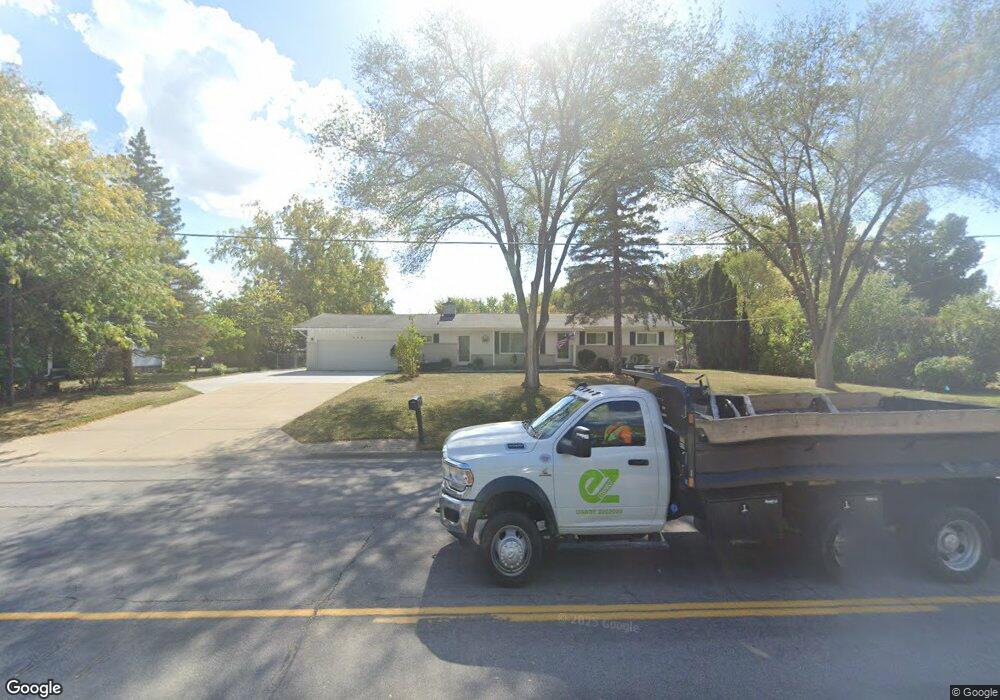
This home is located at 4061 Lennon Rd, Flint, MI 48507 and is currently estimated at $191,419, approximately $113 per square foot. 4061 Lennon Rd is a home located in Genesee County with nearby schools including Elms Road Elementary School, Syring Elementary School, and Morrish Elementary School.
Ownership History
Date
Name
Owned For
Owner Type
Purchase Details
Closed on
Sep 14, 2012
Sold by
Gale Gwendolyn A and Gale Michael
Bought by
Gale Gwendolyn A and Gale Michael A
Current Estimated Value
Purchase Details
Closed on
Nov 9, 2009
Sold by
Heid Wilma J
Bought by
Gale Michael and Gale Gwendolyn A
Create a Home Valuation Report for This Property
The Home Valuation Report is an in-depth analysis detailing your home's value as well as a comparison with similar homes in the area
Home Values in the Area
Average Home Value in this Area
Purchase History
| Date | Buyer | Sale Price | Title Company |
|---|---|---|---|
| Gale Gwendolyn A | -- | None Available | |
| Gale Michael | $83,500 | Sargents Title Company |
Source: Public Records
Tax History
| Year | Tax Paid | Tax Assessment Tax Assessment Total Assessment is a certain percentage of the fair market value that is determined by local assessors to be the total taxable value of land and additions on the property. | Land | Improvement |
|---|---|---|---|---|
| 2025 | $2,132 | $86,800 | $0 | $0 |
| 2024 | $1,052 | $76,500 | $0 | $0 |
| 2023 | $1,004 | $71,200 | $0 | $0 |
| 2022 | $968 | $60,100 | $0 | $0 |
| 2021 | $1,850 | $57,000 | $0 | $0 |
| 2020 | $899 | $52,300 | $0 | $0 |
| 2019 | $886 | $48,100 | $0 | $0 |
| 2018 | $1,572 | $44,600 | $0 | $0 |
| 2017 | $1,506 | $44,600 | $0 | $0 |
| 2016 | $1,528 | $39,800 | $0 | $0 |
| 2015 | $1,236 | $36,000 | $0 | $0 |
| 2014 | $677 | $34,600 | $0 | $0 |
| 2012 | -- | $35,600 | $35,600 | $0 |
Source: Public Records
Map
Nearby Homes
- 3088 Curtis Dr
- 3139 Red Barn Rd
- 4175 Miller Rd
- 4335 Lennon Rd
- 3365 Swartz St
- 4490 W Lennon Rd
- 3435 Swartz St
- 18.41 Taft Rd
- 5141 W Bristol Rd
- VL Clairmont St
- 2033 Eberly Rd
- 3277 Whitney Ave
- 3918 Larchmont St
- 10 Acres T A Mansour Blvd
- 2521 White Oak Place
- 3722 Larchmont St
- 3825 Arlene Ave
- 1455 S Linden Rd
- 3506 Chicago Blvd
- 1512 Crescent Lane Dr Lot#46
- 4049 Lennon Rd
- 3021 Curtis Dr
- 3026 Ketzler Dr
- 4041 Lennon Rd
- 3033 Curtis Dr
- 3040 Ketzler Dr
- 4076 Lennon Rd
- 3045 Curtis Dr
- 4025 Lennon Rd
- 3052 Ketzler Dr
- 2523 Ketzler Dr
- 4094 Lennon Rd
- 3055 Curtis Dr
- 3020 Curtis Dr
- 3012 Curtis Dr
- 2513 Tandy Dr
- 4015 Lennon Rd
- 3058 Ketzler Dr
- 3032 Curtis Dr
- 2496 Ketzler Dr
Your Personal Tour Guide
Ask me questions while you tour the home.