4063 E Avenue r12 Palmdale, CA 93552
East Palmdale NeighborhoodEstimated Value: $434,000 - $468,000
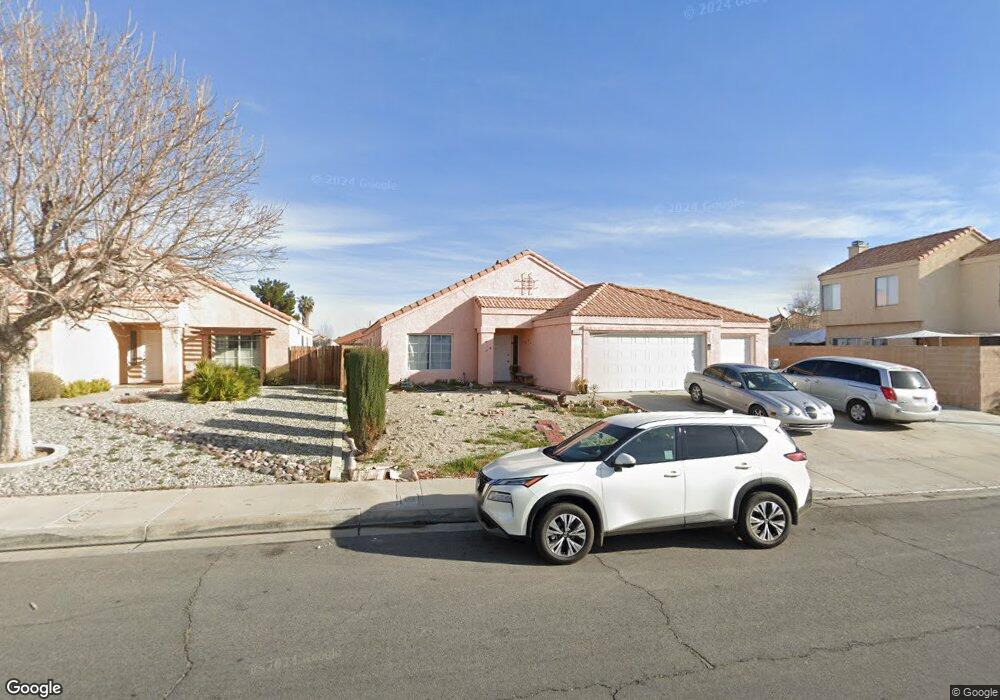
About This Home
This home is located at 4063 E Avenue r12, Palmdale, CA 93552 and is currently estimated at $456,695, approximately $276 per square foot. 4063 E Avenue r12 is a home located in Los Angeles County with nearby schools including Mesquite Elementary School, Cactus Magnet Academy, and Knight High School.
Ownership History
We collect this data history from publicly available records. To have your information removed, we recommend requesting removal directly through your county’s website.
Purchase Details
Purchase Details
Purchase Details
Purchase Details
Home Financials for this Owner
Home Financials are based on the most recent Mortgage that was taken out on this home.Purchase Details
Home Financials for this Owner
Home Financials are based on the most recent Mortgage that was taken out on this home.Purchase Details
Home Values in the Area
Average Home Value in this Area
Purchase History
We collect this data history from publicly available records. To have your information removed, we recommend requesting removal directly through your county’s website.
| Date | Buyer | Sale Price | Title Company |
|---|---|---|---|
| -- | None Listed On Document | ||
| $105,000 | First American Title Ins Co | ||
| $133,361 | None Available | ||
| $245,000 | First American Title | ||
| $127,000 | First American Title Co | ||
| $106,769 | Stewart Title |
Mortgage History
We collect this data history from publicly available records. To have your information removed, we recommend requesting removal directly through your county’s website.
| Date | Status | Borrower | Loan Amount |
|---|---|---|---|
| Previous Owner | $196,000 | ||
| Previous Owner | $123,000 | ||
| Closed | $49,000 |
Tax History
We collect this data history from publicly available records. To have your information removed, we recommend requesting removal directly through your county’s website.
| Year | Tax Paid | Tax Assessment Tax Assessment Total Assessment is a certain percentage of the fair market value that is determined by local assessors to be the total taxable value of land and additions on the property. | Land | Improvement |
|---|---|---|---|---|
| 2025 | $3,017 | $134,511 | $26,898 | $107,613 |
| 2024 | $2,790 | $131,874 | $26,371 | $105,503 |
| 2023 | $2,767 | $129,289 | $25,854 | $103,435 |
| 2022 | $2,671 | $126,755 | $25,348 | $101,407 |
| 2021 | $2,601 | $124,270 | $24,851 | $99,419 |
| 2020 | $2,561 | $122,997 | $24,597 | $98,400 |
| 2019 | $2,532 | $120,586 | $24,115 | $96,471 |
| 2018 | $2,496 | $118,223 | $23,643 | $94,580 |
| 2016 | $2,339 | $113,634 | $22,726 | $90,908 |
| 2015 | $2,316 | $111,928 | $22,385 | $89,543 |
| 2014 | $2,295 | $109,736 | $21,947 | $87,789 |
Map
- 37513 Penara St
- 4228 Trenton Ave
- 37401 Richmond St
- 37422 Morning Cir
- 37526 Daybreak St
- 37940 123 42nd E
- 4103 Amalfi Dr
- 37323 Daybreak St
- 0 45th St E
- 3811 Triton Dr
- 37230 45th St E
- 37111 Springfield St
- 4537 Elwood Ave
- 37064 Springfield St
- 3558 Avocado Ln
- 37311 47th St E Unit 161
- 37311 47th St E Unit 187
- 37311 47th St E Unit 129
- 37311 47th St E Unit 40
- 37311 47th St E Unit 183
- 37437 Scranton Ct
- 37431 Scranton Ct
- 37438 Scranton Ct
- 4108 Karling Place
- 4058 Karling Place
- 37430 Scranton Ct
- 37425 Scranton Ct
- 4052 Karling Place
- 4114 Karling Place
- 4121 E Avenue r12
- 4046 Karling Place
- 4129 E Avenue r12
- 37453 Laramie St
- 4040 Karling Place
- 37501 Tacoma Ct
- 4049 E Avenue r12
- 37461 Laramie St
- 4113 Karling Place
- 4061 Karling Place
- 4109 Karling Place
Ask me questions while you tour the home.