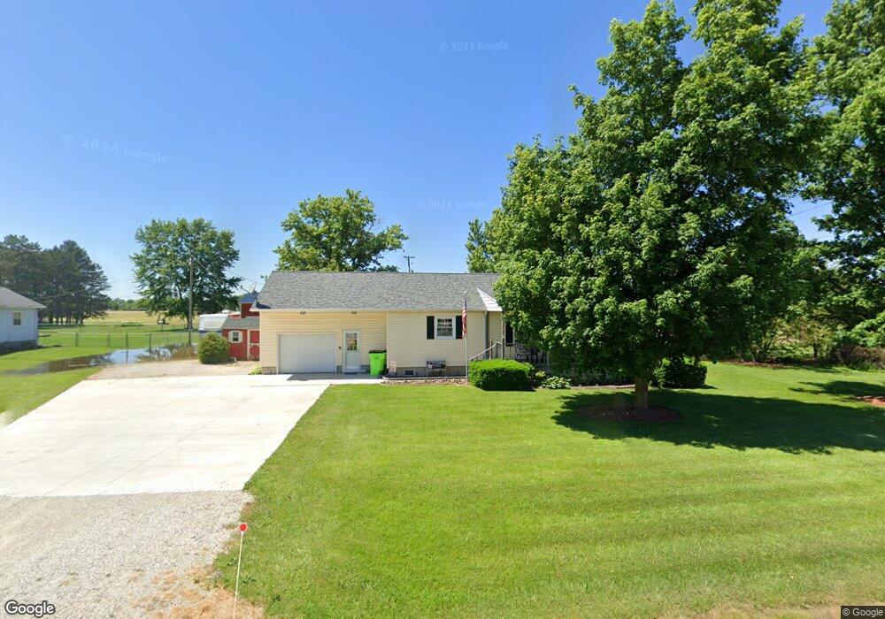
4063 State Route 12 Kansas, OH 44841
Estimated Value: $92,000 - $156,150
2
Beds
1
Bath
1,024
Sq Ft
$115/Sq Ft
Est. Value
About This Home
This home is located at 4063 State Route 12, Kansas, OH 44841 and is currently estimated at $118,038, approximately $115 per square foot. 4063 State Route 12 is a home located in Seneca County.
Ownership History
Date
Name
Owned For
Owner Type
Purchase Details
Closed on
Jun 25, 2002
Sold by
Bagley Keith E
Bought by
Koerper Kevin E
Current Estimated Value
Purchase Details
Closed on
Feb 25, 1998
Sold by
Tiell Todd J
Bought by
Bagley Keith E
Purchase Details
Closed on
Jan 7, 1997
Sold by
Tiell Todd J
Bought by
Tiell Todd J
Purchase Details
Closed on
Aug 1, 1989
Create a Home Valuation Report for This Property
The Home Valuation Report is an in-depth analysis detailing your home's value as well as a comparison with similar homes in the area
Home Values in the Area
Average Home Value in this Area
Purchase History
| Date | Buyer | Sale Price | Title Company |
|---|---|---|---|
| Koerper Kevin E | $68,000 | -- | |
| Bagley Keith E | $54,000 | -- | |
| Tiell Todd J | -- | -- | |
| -- | $36,000 | -- |
Source: Public Records
Mortgage History
| Date | Status | Borrower | Loan Amount |
|---|---|---|---|
| Open | Koerper Kevin E | $46,000 | |
| Closed | Koerper Kevin E | $21,500 |
Source: Public Records
Tax History Compared to Growth
Tax History
| Year | Tax Paid | Tax Assessment Tax Assessment Total Assessment is a certain percentage of the fair market value that is determined by local assessors to be the total taxable value of land and additions on the property. | Land | Improvement |
|---|---|---|---|---|
| 2024 | $1,278 | $39,460 | $8,440 | $31,020 |
| 2023 | $1,284 | $39,460 | $8,440 | $31,020 |
| 2022 | $1,152 | $26,060 | $7,250 | $18,810 |
| 2021 | $999 | $26,060 | $7,250 | $18,810 |
| 2020 | $972 | $26,051 | $7,245 | $18,806 |
| 2019 | $812 | $22,176 | $6,300 | $15,876 |
| 2018 | $799 | $22,176 | $6,300 | $15,876 |
| 2017 | $765 | $22,176 | $6,300 | $15,876 |
| 2016 | $781 | $22,145 | $6,300 | $15,845 |
| 2015 | $741 | $22,145 | $6,300 | $15,845 |
| 2014 | $637 | $22,145 | $6,300 | $15,845 |
| 2013 | $672 | $22,145 | $6,300 | $15,845 |
Source: Public Records
Map
Nearby Homes
- 0 State Route 224 Unit 20240095
- 230 State St
- 302 David St
- 319 Monroe St
- 203 Washington St
- 311 Sullivan St
- 2887 W Township Road 170
- 3475 County Road 13
- 2230 State Route 590 S
- 2093 County Road 23
- 5940 N State Route 53
- 132 E Township Road 152
- 87 E Township Road 143
- 5191 N State Route 53
- 8399 W State Route 12
- 4331 N State Route 53
- 855 Rambo Ln
- 45 Adams Dr
- 17 Adams Dr
- 704 County Road 126
- 4063 State Route 12
- 4081 State Route 12
- 3910 State Route 12
- 4131 State Route 12
- 4131 Ohio 12
- 4169 State Route 12
- 3915 State Route 12
- 3915 Ohio 12
- 3899 State Route 12
- 3899 Ohio 12
- 0 State Route 224 Unit 20223600
- 0 State Route 224 Unit 20212430
- 0 State Route 224 Unit 20205282
- 0 State Route 224 Unit 20202925
- 0 State Route 224 Unit 20183436
- 0 State Route 224 Unit 20175279
- 0 State Route 224 Unit 10052097
- 0 State Route 224 Unit 10051454
- 0 State Route 224 Unit 217036148
- 3875 State Route 12