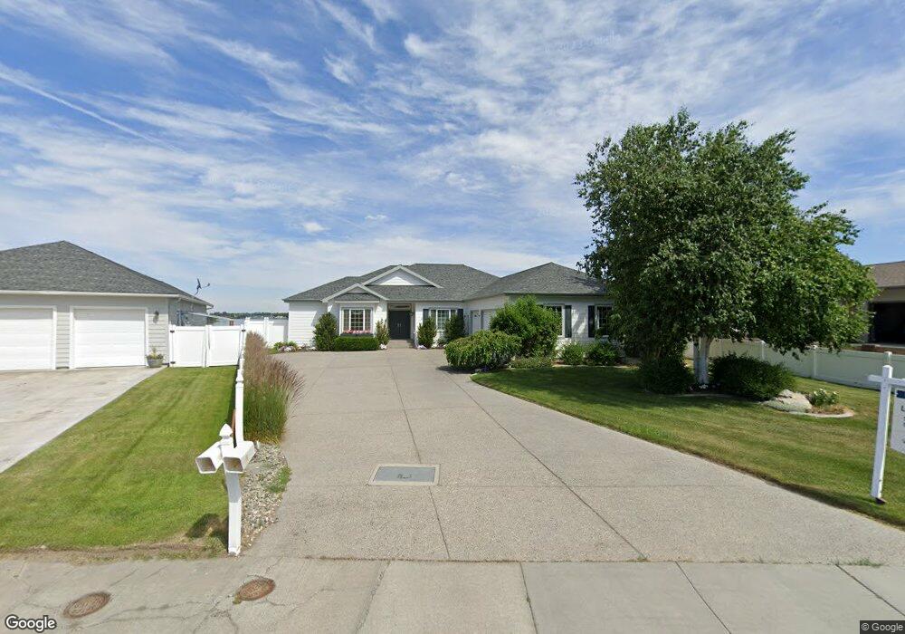
4064 Cove West Dr Moses Lake, WA 98837
Estimated Value: $647,000 - $1,216,000
4
Beds
4
Baths
2,159
Sq Ft
$461/Sq Ft
Est. Value
About This Home
This home is located at 4064 Cove West Dr, Moses Lake, WA 98837 and is currently estimated at $995,004, approximately $460 per square foot. 4064 Cove West Dr is a home located in Grant County with nearby schools including Peninsula Elementary School, Frontier Middle School, and Moses Lake High School.
Ownership History
Date
Name
Owned For
Owner Type
Purchase Details
Closed on
Jun 27, 2023
Sold by
Pulis Richard H and Pulis Marilyn A
Bought by
Ballinger Erlynn Tanael and Ballinger Jay
Current Estimated Value
Purchase Details
Closed on
Sep 28, 2010
Sold by
Pulis Richard H
Bought by
Pulis Richard H and Pulis Marilyn A
Home Financials for this Owner
Home Financials are based on the most recent Mortgage that was taken out on this home.
Original Mortgage
$236,000
Interest Rate
4.35%
Mortgage Type
New Conventional
Create a Home Valuation Report for This Property
The Home Valuation Report is an in-depth analysis detailing your home's value as well as a comparison with similar homes in the area
Home Values in the Area
Average Home Value in this Area
Purchase History
| Date | Buyer | Sale Price | Title Company |
|---|---|---|---|
| Ballinger Erlynn Tanael | $1,101,000 | None Listed On Document | |
| Pulis Richard H | -- | Chicago Title Ins Co |
Source: Public Records
Mortgage History
| Date | Status | Borrower | Loan Amount |
|---|---|---|---|
| Previous Owner | Pulis Richard H | $236,000 |
Source: Public Records
Tax History Compared to Growth
Tax History
| Year | Tax Paid | Tax Assessment Tax Assessment Total Assessment is a certain percentage of the fair market value that is determined by local assessors to be the total taxable value of land and additions on the property. | Land | Improvement |
|---|---|---|---|---|
| 2024 | $10,116 | $890,775 | $164,700 | $726,075 |
| 2023 | $9,718 | $588,615 | $142,825 | $445,790 |
| 2022 | $6,771 | $588,615 | $142,825 | $445,790 |
| 2021 | $7,384 | $588,615 | $142,825 | $445,790 |
| 2020 | $7,012 | $622,795 | $142,825 | $479,970 |
| 2019 | $6,480 | $459,170 | $136,500 | $322,670 |
| 2018 | $6,709 | $441,485 | $136,500 | $304,985 |
| 2017 | $6,880 | $441,485 | $136,500 | $304,985 |
| 2016 | $7,049 | $450,760 | $136,500 | $314,260 |
| 2013 | -- | $398,385 | $136,500 | $261,885 |
Source: Public Records
Map
Nearby Homes
- 509 Bluff Dr W
- 600 Bluff Dr W
- 620 N Dove Ct
- 601 Bluff Dr W
- 316 Montana St
- 320 Montana St
- 312 Montana St
- 4349 W Cove Dr W
- 4326 W Redhead Ave
- 315 N Lessor Loop
- 221 N Lessor Loop
- 215 N Lessor Loop
- 4215 W Sandy Ct
- 4223 W Sandy Ct
- 4227 W Sandy Ct
- Canyon A Plan at The Refuge - The Refuge
- Canyon B Plan at The Refuge - The Refuge
- Suncrest Plan at The Refuge - The Refuge
- Skyline Plan at The Refuge - The Refuge
- Cascade B Plan at The Refuge - The Refuge
- 4064 W Cove Dr W
- 4066 Cove West Dr
- 4066 Cove West Dr
- 500 N Bluff West Dr
- 504 N Bluff West Dr
- 4068 Cove West Dr
- 4071 W Cove Dr W
- 4071 Cove West Dr
- 508 N Bluff Dr W
- 509 N Bluff West Dr
- 508 N Bluff West Dr
- 4070 Cove West Dr
- 4072 Cove Dr W
- 512 N Bluff West Dr
- 4073 Cove West Dr
- 4072 Cove West Dr
- 515 N Bluff West Dr
- 516 N Bluff West Dr
- 516 Bluff Dr W
- 4075 Cove Dr W