40653 N Lester Ln Wadsworth, IL 60083
Estimated Value: $199,818 - $644,000
--
Bed
--
Bath
--
Sq Ft
1.29
Acres
About This Home
This home is located at 40653 N Lester Ln, Wadsworth, IL 60083 and is currently estimated at $358,955. 40653 N Lester Ln is a home located in Lake County with nearby schools including Kenneth Murphy School, Beach Park Middle School, and Zion-Benton Township High School.
Ownership History
Date
Name
Owned For
Owner Type
Purchase Details
Closed on
Nov 26, 2013
Sold by
Bullock James K and Bullock Joanne H
Bought by
Congdon Dinora
Current Estimated Value
Home Financials for this Owner
Home Financials are based on the most recent Mortgage that was taken out on this home.
Original Mortgage
$175,750
Outstanding Balance
$133,456
Interest Rate
4.62%
Mortgage Type
New Conventional
Estimated Equity
$225,499
Create a Home Valuation Report for This Property
The Home Valuation Report is an in-depth analysis detailing your home's value as well as a comparison with similar homes in the area
Home Values in the Area
Average Home Value in this Area
Purchase History
| Date | Buyer | Sale Price | Title Company |
|---|---|---|---|
| Congdon Dinora | $185,000 | Title Resources Guaranty Co |
Source: Public Records
Mortgage History
| Date | Status | Borrower | Loan Amount |
|---|---|---|---|
| Open | Congdon Dinora | $175,750 |
Source: Public Records
Tax History Compared to Growth
Tax History
| Year | Tax Paid | Tax Assessment Tax Assessment Total Assessment is a certain percentage of the fair market value that is determined by local assessors to be the total taxable value of land and additions on the property. | Land | Improvement |
|---|---|---|---|---|
| 2024 | $2,025 | $23,009 | $19,153 | $3,856 |
| 2023 | $1,821 | $19,524 | $16,253 | $3,271 |
| 2022 | $1,821 | $17,313 | $14,772 | $2,541 |
| 2021 | $1,759 | $15,839 | $13,521 | $2,318 |
| 2020 | $1,760 | $15,471 | $13,207 | $2,264 |
| 2019 | $1,780 | $14,857 | $12,683 | $2,174 |
| 2018 | $1,679 | $13,367 | $11,849 | $1,518 |
| 2017 | $1,700 | $13,119 | $11,629 | $1,490 |
| 2016 | $1,697 | $12,680 | $11,240 | $1,440 |
| 2015 | $1,700 | $11,975 | $10,615 | $1,360 |
| 2014 | $1,494 | $11,647 | $10,324 | $1,323 |
| 2012 | $1,487 | $11,841 | $10,496 | $1,345 |
Source: Public Records
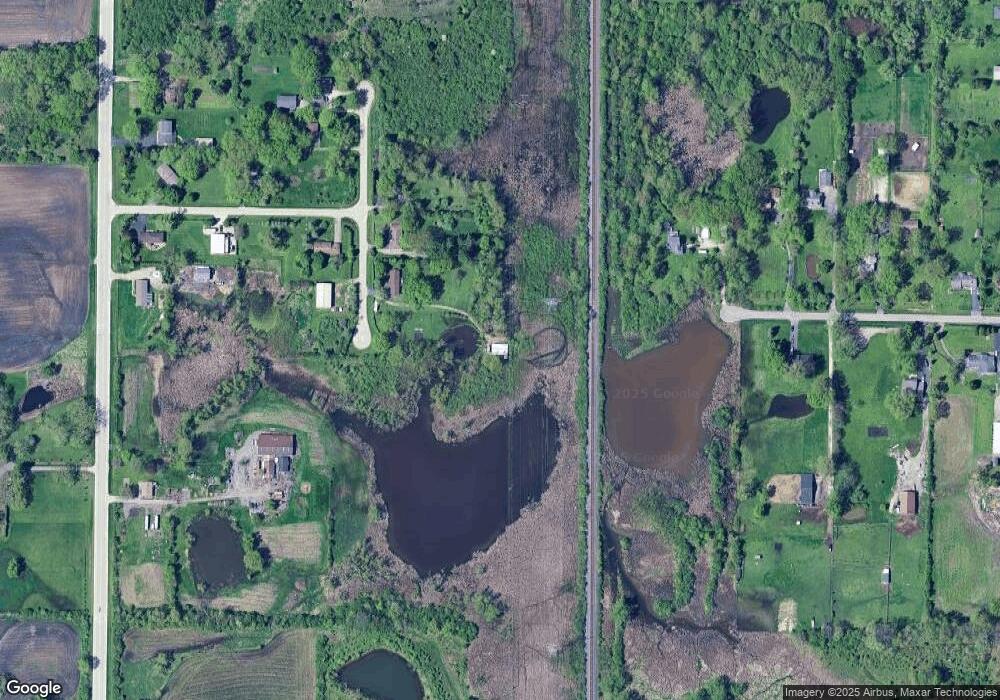
Map
Nearby Homes
- 40661 N Delany Rd
- 40827 N Delany Rd
- 14067 W Pratum Terra Dr
- 13661 W Adams Rd
- 13551 W Adams Rd
- 41616 N Delany Rd
- 40485 N Belle Foret Dr
- 40417 N Belle Foret Dr
- 41616 N Delaney Rd
- 39787 Torry Ln
- 13051 Bucksburn Ct
- 14389 W Andover Rd
- 39694 N Warren Ln Unit 4763
- 40404 N Belle Foret Dr
- 1916 Sunshine Ct
- 41320 N Green Bay Rd
- 2010 Sunset Ct
- 40342 N Belle Foret Dr
- 2031 Dawn Ln
- 40354 N Belle Foret Dr
- 40685 N Lester Ln
- 40715 N Lester Ln
- 40735 N Lester Ln
- 13885 W Stonegate Rd
- 13676 W Greenview Dr
- 40770 N Lester Ln
- 13660 W Greenview Dr
- 13655 W Greenview Dr
- 40790 N Lester Ln
- 40744 N Lester Ln
- 13630 W Greenview Dr
- 13980 W Stonegate Rd
- 13961 W Stonegate Rd
- 40601 N Delany Rd
- 13610 W Greenview Dr
- 40769 N Delany Rd
- 13589 W Greenview Dr
- 40805 N Delany Rd
- 13570 W Greenview Dr
- 13549 W Greenview Dr