4066 Highway 47 Lonedell, MO 63060
Estimated Value: $200,000 - $262,180
3
Beds
1
Bath
1,248
Sq Ft
$191/Sq Ft
Est. Value
About This Home
This home is located at 4066 Highway 47, Lonedell, MO 63060 and is currently estimated at $237,795, approximately $190 per square foot. 4066 Highway 47 is a home located in Franklin County with nearby schools including Lonedell Elementary School.
Ownership History
Date
Name
Owned For
Owner Type
Purchase Details
Closed on
May 29, 2009
Sold by
Secretray Of Housing & Urban Development
Bought by
Causey Cody Neal and Causey Amanda Marie
Current Estimated Value
Home Financials for this Owner
Home Financials are based on the most recent Mortgage that was taken out on this home.
Original Mortgage
$106,389
Outstanding Balance
$66,964
Interest Rate
4.7%
Mortgage Type
VA
Estimated Equity
$170,831
Purchase Details
Closed on
Dec 19, 2008
Sold by
Shucart Scott H and Shucart Ida M
Bought by
Secretary Of Hosing And Urban Developmen
Create a Home Valuation Report for This Property
The Home Valuation Report is an in-depth analysis detailing your home's value as well as a comparison with similar homes in the area
Home Values in the Area
Average Home Value in this Area
Purchase History
| Date | Buyer | Sale Price | Title Company |
|---|---|---|---|
| Causey Cody Neal | -- | None Available | |
| Secretary Of Hosing And Urban Developmen | $138,629 | None Available |
Source: Public Records
Mortgage History
| Date | Status | Borrower | Loan Amount |
|---|---|---|---|
| Open | Causey Cody Neal | $106,389 |
Source: Public Records
Tax History Compared to Growth
Tax History
| Year | Tax Paid | Tax Assessment Tax Assessment Total Assessment is a certain percentage of the fair market value that is determined by local assessors to be the total taxable value of land and additions on the property. | Land | Improvement |
|---|---|---|---|---|
| 2024 | $1,456 | $25,519 | $0 | $0 |
| 2023 | $1,456 | $25,519 | $0 | $0 |
| 2022 | $1,131 | $19,811 | $0 | $0 |
| 2021 | $1,245 | $21,844 | $0 | $0 |
| 2020 | $1,133 | $19,583 | $0 | $0 |
| 2019 | $1,130 | $19,583 | $0 | $0 |
| 2018 | $1,091 | $18,787 | $0 | $0 |
| 2017 | $1,081 | $18,787 | $0 | $0 |
| 2016 | $999 | $17,324 | $0 | $0 |
| 2015 | $996 | $17,324 | $0 | $0 |
| 2014 | $977 | $17,493 | $0 | $0 |
Source: Public Records
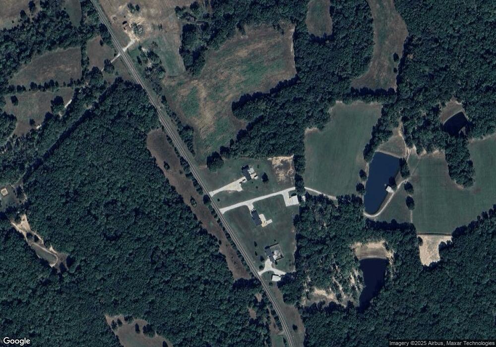
Map
Nearby Homes
- 20923 W State Highway 47
- 0 Shepard Ln
- 9041 Rye Creek Rd
- 0 Apollo Dr
- 209 Apollo Dr
- 10028 Maple Dr
- 18 +/- Acres
- 0 Rye Creek Rd Unit MAR25023110
- 0 Little Indian Creek Rd
- 10746 Forest Ln
- 0 Alpine Rd Unit MAR24059049
- 0 Tbd Diamond School Rd
- Lot 4 Thunder Ridge Rd
- Lot 3 Thunder Ridge Rd
- 8282 Rye Creek Rd
- 28 Kelemen Farms W
- 000 Bucks Crossing Rd
- 000 Bucks Crossing
- 10215 State Road Ww
- 1065 Birch Dr
- 4016 Highway 47
- 890 Wildman Ln
- 4015 Highway 47
- 4169 Highway 47
- 4199 Highway 47
- 3748 Highway 47
- 3370 Huff Rd
- 4231 Highway 47
- 4197 Highway 47
- 3893 Highway 47
- 0 Highway 47 (20+ - Acres)
- 4195 Highway 47
- 4260 Highway 47
- 3633 Burlage Rd
- 3875 Highway 47
- 3383 Huff Rd
- 275 Hummingbird Ln
- 280 Hummingbird Ln
- 3375 Huff Rd