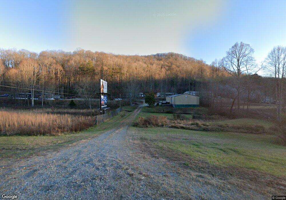
4066 Highway 515 E Blairsville, GA 30512
Estimated Value: $247,305
2
Beds
1
Bath
3,600
Sq Ft
$69/Sq Ft
Est. Value
About This Home
This home is located at 4066 Highway 515 E, Blairsville, GA 30512 and is currently priced at $247,305, approximately $68 per square foot. 4066 Highway 515 E is a home located in Union County with nearby schools including Union County Primary School, Union County Elementary School, and Union County Middle School.
Ownership History
Date
Name
Owned For
Owner Type
Purchase Details
Closed on
Aug 25, 2014
Sold by
Community & Southern Bank
Bought by
Sweeney Brian W and Sweeney James C
Current Estimated Value
Purchase Details
Closed on
Jan 2, 2013
Sold by
Crosby Anthony
Bought by
Community & Southern Bank
Purchase Details
Closed on
Sep 4, 2003
Sold by
Smith Carlie Lee
Bought by
Crosby Anthony
Purchase Details
Closed on
Nov 2, 1977
Bought by
Smith Carlie Lee
Create a Home Valuation Report for This Property
The Home Valuation Report is an in-depth analysis detailing your home's value as well as a comparison with similar homes in the area
Home Values in the Area
Average Home Value in this Area
Purchase History
| Date | Buyer | Sale Price | Title Company |
|---|---|---|---|
| Sweeney Brian W | $61,200 | -- | |
| Community & Southern Bank | $164,000 | -- | |
| Crosby Anthony | $78,000 | -- | |
| Smith Carlie Lee | $18,000 | -- |
Source: Public Records
Tax History Compared to Growth
Tax History
| Year | Tax Paid | Tax Assessment Tax Assessment Total Assessment is a certain percentage of the fair market value that is determined by local assessors to be the total taxable value of land and additions on the property. | Land | Improvement |
|---|---|---|---|---|
| 2024 | $1,182 | $100,120 | $45,480 | $54,640 |
| 2023 | $1,198 | $90,000 | $36,400 | $53,600 |
| 2022 | $1,446 | $108,652 | $36,400 | $72,252 |
| 2021 | $1,265 | $80,292 | $14,560 | $65,732 |
| 2020 | $1,105 | $58,386 | $32,000 | $26,386 |
| 2019 | $1,044 | $58,386 | $32,000 | $26,386 |
| 2018 | $1,026 | $58,386 | $32,000 | $26,386 |
| 2017 | $1,026 | $58,386 | $32,000 | $26,386 |
| 2016 | $1,026 | $58,386 | $32,000 | $26,386 |
| 2015 | $434 | $58,386 | $32,000 | $26,386 |
| 2013 | -- | $71,125 | $40,000 | $31,125 |
Source: Public Records
Map
Nearby Homes
- 5.7 ac Butternut Grove Rd
- 198 Butternut Ln
- 196 Wildwind Ln
- Lot 36 Sanctuary Dr
- LOT22 Bryant Cove Rd
- LOT21 Bryant Cove Rd
- LOT20 Bryant Cove Rd
- 65 Jenkins Trail
- Lt 19 Bitter Creek Rd
- 43 Diane St
- 9.36A Hwy 515 Thomas Cir
- 303 Butternut Creek Rd
- 94 Butternut Creek Rd
- L 48C Byron St
- 3 A Moss Cove Rd
- 534 Doc Thomas Ridge Rd
- LOT 34 the Overlook at Young Harris
- Lot 86 Rocky Knob Estates
- 0 Rocky Knob Estates Unit 10509678
- 61 McTyeire Dr
- 138 Butternut Grove
- 106 Butternut Grove
- 5.7 ac Butternut Grove Rd Unit 12,13 19-21
- 177 Butternut Grove
- 64 Butternut Grove
- 4100 Highway 515 E
- 4100 Georgia 515
- TR 3 Hwy 76 @ Bowling Gap
- 136 Bowling Dr
- 24 Earl Shelton Rd
- 4176 EAST-HWY51 Earl Shelton Rd
- 24 Earl Shelton Rd
- 4176 Hwy 515
- 123 Earl Shelton Rd
- 77 Bowling Gap Cir
- 77 Bowling Gap Cir
- 8/9 Bowling Gap Cir
- Tr 8&9 Bowling Gap Cir
- 138 Casper Smith Dr
- 34,35 Butternut Ln
