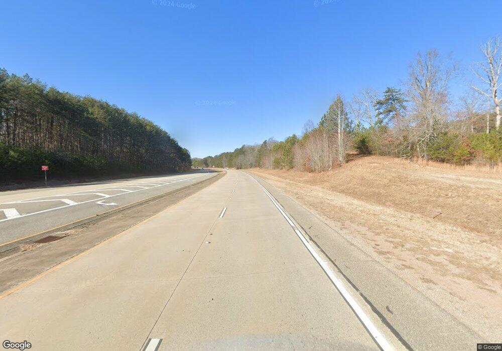
4066 Highway 515 W Blairsville, GA 30512
Estimated Value: $247,305
2
Beds
1
Bath
3,600
Sq Ft
$69/Sq Ft
Est. Value
About This Home
This home is located at 4066 Highway 515 W, Blairsville, GA 30512 and is currently priced at $247,305, approximately $68 per square foot. 4066 Highway 515 W is a home located in Union County with nearby schools including Union County Primary School, Union County Elementary School, and Union County Middle School.
Ownership History
Date
Name
Owned For
Owner Type
Purchase Details
Closed on
Aug 25, 2014
Sold by
Community & Southern Bank
Bought by
Sweeney Brian W and Sweeney James C
Current Estimated Value
Purchase Details
Closed on
Jan 2, 2013
Sold by
Crosby Anthony
Bought by
Community & Southern Bank
Purchase Details
Closed on
Sep 4, 2003
Sold by
Smith Carlie Lee
Bought by
Crosby Anthony
Purchase Details
Closed on
Nov 2, 1977
Bought by
Smith Carlie Lee
Create a Home Valuation Report for This Property
The Home Valuation Report is an in-depth analysis detailing your home's value as well as a comparison with similar homes in the area
Home Values in the Area
Average Home Value in this Area
Purchase History
| Date | Buyer | Sale Price | Title Company |
|---|---|---|---|
| Sweeney Brian W | $61,200 | -- | |
| Community & Southern Bank | $164,000 | -- | |
| Crosby Anthony | $78,000 | -- | |
| Smith Carlie Lee | $18,000 | -- |
Source: Public Records
Tax History Compared to Growth
Tax History
| Year | Tax Paid | Tax Assessment Tax Assessment Total Assessment is a certain percentage of the fair market value that is determined by local assessors to be the total taxable value of land and additions on the property. | Land | Improvement |
|---|---|---|---|---|
| 2024 | $1,182 | $100,120 | $45,480 | $54,640 |
| 2023 | $1,198 | $90,000 | $36,400 | $53,600 |
| 2022 | $1,446 | $108,652 | $36,400 | $72,252 |
| 2021 | $1,265 | $80,292 | $14,560 | $65,732 |
| 2020 | $1,105 | $58,386 | $32,000 | $26,386 |
| 2019 | $1,044 | $58,386 | $32,000 | $26,386 |
| 2018 | $1,026 | $58,386 | $32,000 | $26,386 |
| 2017 | $1,026 | $58,386 | $32,000 | $26,386 |
| 2016 | $1,026 | $58,386 | $32,000 | $26,386 |
| 2015 | $434 | $58,386 | $32,000 | $26,386 |
| 2013 | -- | $71,125 | $40,000 | $31,125 |
Source: Public Records
Map
Nearby Homes
- Lot 133 Blackburn Way
- 19 My Own Rd
- 77 Chestatee Dr
- Lot 59 Ridge Peak View
- Lot 83 Ridge Peak View
- LOT 70 Ridge Peak View
- Lot 379 Marshall Rise
- 6AC Pleasant Grove Rd
- Tract D Carriage Ln
- LOT 91 Winding Ridge
- 69 Winding Ridge
- Lot 118 Winding Ridge
- 299 Craig Thompson Dr
- 60 Thirteen Hundred
- Lot 50 Deyton Dr
- 000 Deyton Dr
- 0 Deyton Dr Unit 10600796
- 477 Winding Ridge
- Lot 42 Thirteen Hundred
- 270 Crescent Rd
- 157 Crescent Rd
- 107 Hayfield Rd
- 36 Towe Rd
- 29 Towe Rd
- 4176 Highway 515 W
- 50 Haley Dr
- 0 Crescent Rd Unit 119184
- 309 Hayfield Rd
- 277 Crescent Rd
- 0 Robren
- 3761 Highway 515 W
- 474 Hayfield Rd
- 346 Crescent Rd
- 268 Robren
- 391 Lows Mill Rd
- 81 Lows Mill Ln
- 489 Hayfield Rd
- 282 Towe Rd
- 345 Lows Mill Rd
