4067 Us Highway 158 Mocksville, NC 27028
Estimated Value: $227,000 - $297,000
4
Beds
3
Baths
1,182
Sq Ft
$222/Sq Ft
Est. Value
About This Home
This home is located at 4067 Us Highway 158, Mocksville, NC 27028 and is currently estimated at $262,234, approximately $221 per square foot. 4067 Us Highway 158 is a home located in Davie County with nearby schools including Pinebrook Elementary School, North Davie Middle School, and Davie County High School.
Ownership History
Date
Name
Owned For
Owner Type
Purchase Details
Closed on
Jun 10, 2024
Sold by
Roten Jerry Frank and Roten Nancy Lambert
Bought by
Roten Jerry Frank and Roten Eric Chad
Current Estimated Value
Purchase Details
Closed on
May 20, 2024
Sold by
Roten Jerry Frank and Roten Nancy Lambert
Bought by
Wiles Erica Lynn Roten and Roten Eric Chad
Create a Home Valuation Report for This Property
The Home Valuation Report is an in-depth analysis detailing your home's value as well as a comparison with similar homes in the area
Home Values in the Area
Average Home Value in this Area
Purchase History
| Date | Buyer | Sale Price | Title Company |
|---|---|---|---|
| Roten Jerry Frank | -- | None Listed On Document | |
| Roten Jerry Frank | -- | None Listed On Document | |
| Wiles Erica Lynn Roten | $1,000 | None Listed On Document | |
| Wiles Erica Lynn Roten | $1,000 | None Listed On Document |
Source: Public Records
Tax History Compared to Growth
Tax History
| Year | Tax Paid | Tax Assessment Tax Assessment Total Assessment is a certain percentage of the fair market value that is determined by local assessors to be the total taxable value of land and additions on the property. | Land | Improvement |
|---|---|---|---|---|
| 2025 | $1,580 | $229,500 | $47,490 | $182,010 |
| 2024 | $1,142 | $147,730 | $36,220 | $111,510 |
| 2023 | $1,142 | $147,730 | $36,220 | $111,510 |
| 2022 | $1,149 | $147,730 | $36,220 | $111,510 |
| 2021 | $1,142 | $147,730 | $36,220 | $111,510 |
| 2020 | $1,088 | $139,720 | $35,420 | $104,300 |
| 2019 | $1,088 | $139,720 | $35,420 | $104,300 |
| 2018 | $1,130 | $145,210 | $40,910 | $104,300 |
| 2017 | $1,116 | $145,210 | $0 | $0 |
| 2016 | $1,161 | $151,070 | $0 | $0 |
| 2015 | $1,161 | $151,070 | $0 | $0 |
| 2014 | $998 | $151,070 | $0 | $0 |
| 2013 | -- | $151,070 | $0 | $0 |
Source: Public Records
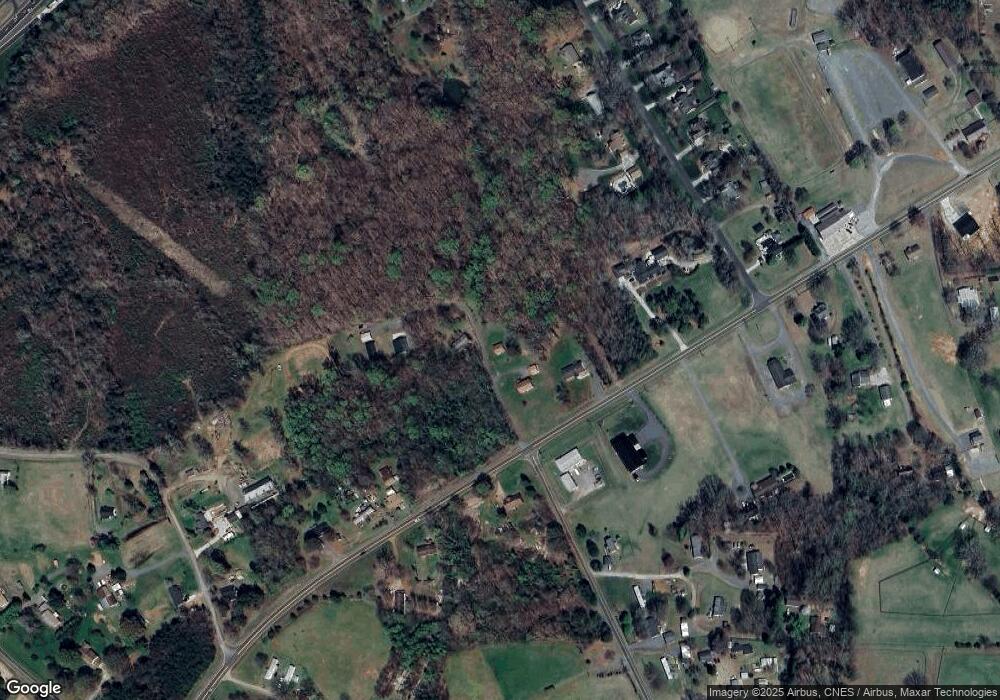
Map
Nearby Homes
- 245 Shallowbrook Dr
- 197 Dare Ln
- 271 Redland Rd
- 279 Redland Rd
- Cypress Plan at Redland
- Sullivan Plan at Redland
- Cooper Plan at Redland
- Wescott Plan at Redland
- Avery Plan at Redland
- Davidson Plan at Redland
- 159 King Arthur Ln
- 290 Redland Rd
- 300 Redland Rd
- 1270 Rainbow Rd
- 844 Rainbow Rd
- 134 Baltimore Rd
- Davidson Plan at Fiddler's Ridge
- Atherton Plan at Fiddler's Ridge
- Colfax Plan at Fiddler's Ridge
- Sullivan Plan at Fiddler's Ridge
- 4029 Us Highway 158
- 4054 Us Highway 158
- 4053 Us Highway 158
- 4009 Us Highway 158
- 11.5 +/- Nc Highway 801
- 129 Kinder Ln
- 125 Backdraft Trail
- 129 Howardtown Cir
- 163 Backdraft Trail
- 4090 Us Highway 158
- 4087 U S 158
- 0 Frost Rd
- 116 Frost Rd
- 111 Allen Farm Ln
- 128 Frost Rd
- 121 Frost Rd
- 123 Manchester Ln
- 4110 Us Highway 158
- 159 Frost Rd
- 4111 Us Highway 158