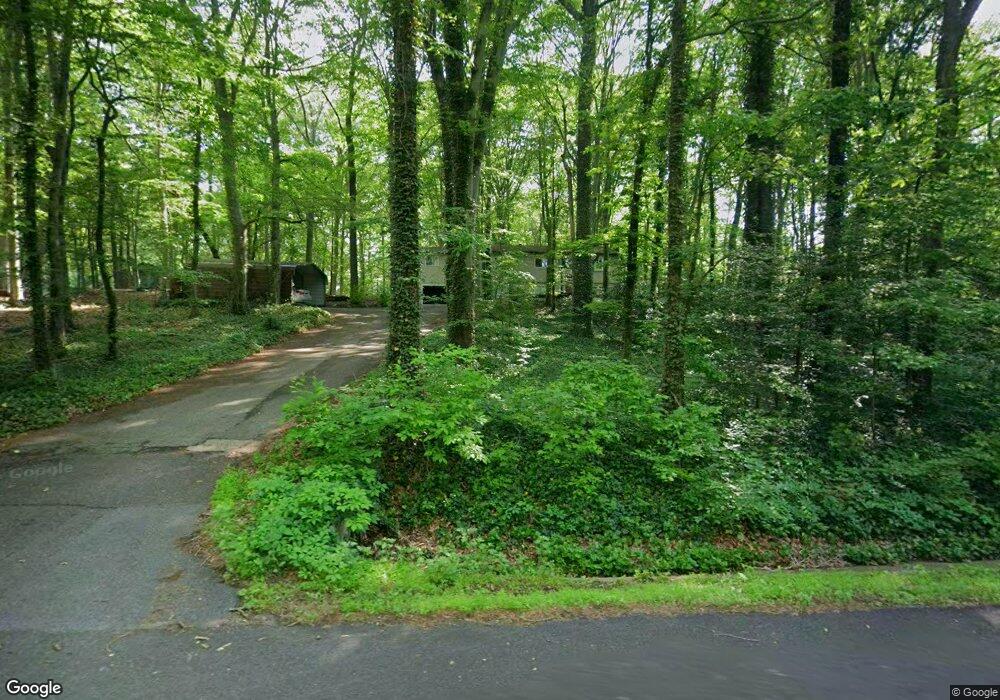
4069 Sands Rd Harwood, MD 20776
Harwood NeighborhoodEstimated Value: $539,000 - $594,000
4
Beds
4
Baths
1,620
Sq Ft
$354/Sq Ft
Est. Value
About This Home
This home is located at 4069 Sands Rd, Harwood, MD 20776 and is currently estimated at $574,009, approximately $354 per square foot. 4069 Sands Rd is a home located in Anne Arundel County with nearby schools including Lothian Elementary School, Southern Middle School, and Southern High School.
Ownership History
Date
Name
Owned For
Owner Type
Purchase Details
Closed on
Oct 14, 2004
Sold by
Bassette Robert G
Bought by
Armstrong Theodore E and Stith Laura A
Current Estimated Value
Purchase Details
Closed on
Dec 17, 1998
Sold by
Davidson Alfred E
Bought by
Bassette Robert G
Purchase Details
Closed on
Dec 22, 1987
Sold by
Parker Bradley J
Bought by
Davidson Alfred E
Create a Home Valuation Report for This Property
The Home Valuation Report is an in-depth analysis detailing your home's value as well as a comparison with similar homes in the area
Home Values in the Area
Average Home Value in this Area
Purchase History
| Date | Buyer | Sale Price | Title Company |
|---|---|---|---|
| Armstrong Theodore E | $325,000 | -- | |
| Bassette Robert G | $170,000 | -- | |
| Davidson Alfred E | $145,000 | -- |
Source: Public Records
Mortgage History
| Date | Status | Borrower | Loan Amount |
|---|---|---|---|
| Closed | Bassette Robert G | -- |
Source: Public Records
Tax History Compared to Growth
Tax History
| Year | Tax Paid | Tax Assessment Tax Assessment Total Assessment is a certain percentage of the fair market value that is determined by local assessors to be the total taxable value of land and additions on the property. | Land | Improvement |
|---|---|---|---|---|
| 2025 | $4,728 | $456,600 | -- | -- |
| 2024 | $4,728 | $436,400 | $0 | $0 |
| 2023 | $4,591 | $416,200 | $229,600 | $186,600 |
| 2022 | $4,306 | $412,933 | $0 | $0 |
| 2021 | $8,477 | $409,667 | $0 | $0 |
| 2020 | $4,133 | $406,400 | $229,600 | $176,800 |
| 2019 | $4,041 | $376,567 | $0 | $0 |
| 2018 | $3,516 | $346,733 | $0 | $0 |
| 2017 | $3,757 | $316,900 | $0 | $0 |
| 2016 | -- | $313,833 | $0 | $0 |
| 2015 | -- | $310,767 | $0 | $0 |
| 2014 | -- | $307,700 | $0 | $0 |
Source: Public Records
Map
Nearby Homes
- 812 Richardson Dr
- 17436 Claggett Landing Rd
- 17905 Queen Anne Rd
- 1527 Patuxent Manor Rd
- 18106 B Central Ave
- 1544 Manor View Rd
- 3732 Nile Rd
- 213 King James Rd
- 1575 Alcova Dr
- 1008 W Central Ave
- 1500, 1501, 1504 Cogar Rd
- 210 Queen Marie Ct
- 116 Prospect Dr
- 3501 Foxhall Dr
- 4440 Claybrooke Dr
- 873 Benjamin Branch
- 4485 Old Solomons Island Rd
- 4320 Solomons Island Rd
- 16508 Kilby Ct
- 1002 Marshalls Dr
- 4067 Sands Rd
- 1257 Vintage Dr
- 1230 Sandalwood Rd
- 1228 Sandalwood Rd
- 1255 Vintage Dr
- 1226 Sandalwood Rd
- 1231 Sandalwood Rd
- 1229 Sandalwood Rd
- 1258 Vintage Dr
- 1256 Vintage Dr
- 1227 Sandalwood Rd
- 1251 Vintage Dr
- 1253 Vintage Dr
- 1249 Vintage Dr
- 1224 Sandalwood Rd
- 1254 Vintage Dr
- 4061 Sands Rd
- 1225 Sandalwood Rd
- 1252 Vintage Dr
- 1223 Sandalwood Rd