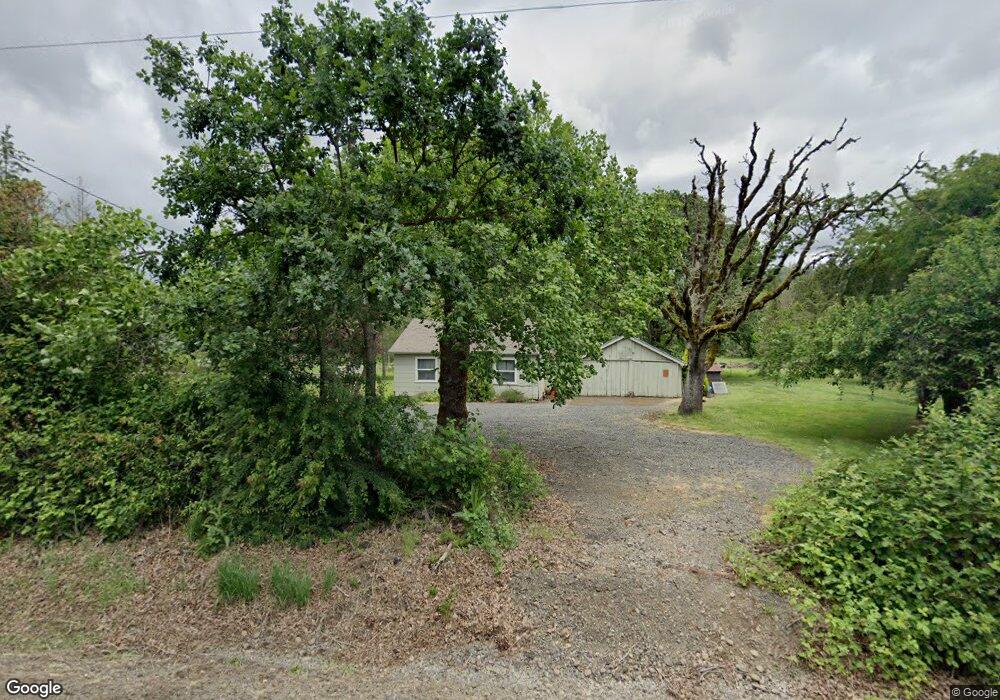
Estimated Value: $925,000 - $1,125,685
3
Beds
3
Baths
2,540
Sq Ft
$404/Sq Ft
Est. Value
About This Home
This home is located at 40691 Highway 226, Scio, OR 97374 and is currently estimated at $1,025,343, approximately $403 per square foot. 40691 Highway 226 is a home located in Linn County with nearby schools including Centennial Elementary School, Scio Middle School, and Scio High School.
Ownership History
Date
Name
Owned For
Owner Type
Purchase Details
Closed on
Jun 21, 2021
Sold by
Jones Michael and Jones Lori
Bought by
Devine Jason M and Devine Candice J
Current Estimated Value
Purchase Details
Closed on
Mar 5, 2007
Sold by
Jones Ben J and Jones Hannah M
Bought by
Jones Michael and Jones Lori
Purchase Details
Closed on
Mar 1, 2007
Sold by
Jones Ben J and Jones Hannah M
Bought by
Jones Michael and Jones Lori
Create a Home Valuation Report for This Property
The Home Valuation Report is an in-depth analysis detailing your home's value as well as a comparison with similar homes in the area
Home Values in the Area
Average Home Value in this Area
Purchase History
| Date | Buyer | Sale Price | Title Company |
|---|---|---|---|
| Devine Jason M | $130,000 | None Available | |
| Jones Michael | $45,000 | None Available | |
| Jones Michael | $45,000 | None Available |
Source: Public Records
Tax History Compared to Growth
Tax History
| Year | Tax Paid | Tax Assessment Tax Assessment Total Assessment is a certain percentage of the fair market value that is determined by local assessors to be the total taxable value of land and additions on the property. | Land | Improvement |
|---|---|---|---|---|
| 2025 | $4,002 | $344,676 | -- | -- |
| 2024 | $3,894 | $334,647 | -- | -- |
| 2023 | $3,793 | $324,907 | $0 | $0 |
| 2022 | $1,462 | $125,198 | $0 | $0 |
| 2021 | $1,394 | $121,561 | $0 | $0 |
| 2020 | $1,376 | $118,022 | $0 | $0 |
| 2019 | $1,346 | $114,594 | $0 | $0 |
| 2018 | $1,309 | $111,263 | $0 | $0 |
| 2017 | $1,272 | $108,031 | $0 | $0 |
| 2016 | $1,237 | $104,886 | $0 | $0 |
| 2015 | $1,203 | $101,838 | $0 | $0 |
| 2014 | $1,168 | $98,878 | $0 | $0 |
Source: Public Records
Map
Nearby Homes
- 40615 Rodgers Mountain Loop
- 43319 Rodgers Mountain Loop
- 40009 Highway 226
- 41116 Rodgers Mountain Loop
- 39986 Gisler Rd
- 42200 Highway 226
- 000 Zurfluh W
- 38808 N Main St
- 000 Zurfluh Rd
- 38888 Highway 226
- 38967 Oregon 226
- 39924 Stayton Scio Rd
- 39110 Loma Dr
- 38601 Dogwood St
- TL#0923670 Dr
- TL#0707469 Shilling (Lot 102) Dr
- 39903 Mertz Dr SE
- 40893 Elk Ridge Ln
- 39320 Montgomery Dr
- 41036 Stayton Scio Rd SE
- 40735 Highway 226
- 40773 Shimanek Bridge Dr
- 40611 Highway 226
- 40874 Highway 226
- 40620 Highway 226
- 40901 Highway 226
- 40573 Highway 226
- 40555 Oregon 226
- 40555 Highway 226
- 40980 Oregon 226
- 40985 Highway 226
- 40595 Shimanek Bridge Dr
- 40939 Shimanek Bridge Dr
- 40454 Shimanek Bridge Dr
- 41014 Shimanek Bridge Dr
- 40505 Highway 226
- 41037 Shimanek Bridge Dr
- 40444 Shimanek Bridge Dr
- 41060 Highway 226
- 41044 Shindler Bridge Dr
