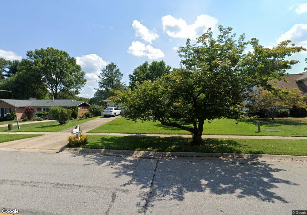
407 Cannon Rd Silver Spring, MD 20904
Estimated Value: $520,060 - $606,000
Studio
3
Baths
1,470
Sq Ft
$382/Sq Ft
Est. Value
About This Home
This home is located at 407 Cannon Rd, Silver Spring, MD 20904 and is currently estimated at $561,265, approximately $381 per square foot. 407 Cannon Rd is a home located in Montgomery County with nearby schools including Cannon Road Elementary School, Francis Scott Key Middle School, and Springbrook High School.
Ownership History
Date
Name
Owned For
Owner Type
Purchase Details
Closed on
Dec 3, 1998
Sold by
Chu Hai C
Bought by
Nguyen Hai C and Nguyen Thanh V
Current Estimated Value
Purchase Details
Closed on
Oct 20, 1995
Sold by
Edison Edwin L
Bought by
Chu Hai C
Home Financials for this Owner
Home Financials are based on the most recent Mortgage that was taken out on this home.
Original Mortgage
$143,200
Interest Rate
7.6%
Create a Home Valuation Report for This Property
The Home Valuation Report is an in-depth analysis detailing your home's value as well as a comparison with similar homes in the area
Home Values in the Area
Average Home Value in this Area
Purchase History
| Date | Buyer | Sale Price | Title Company |
|---|---|---|---|
| Nguyen Hai C | -- | -- | |
| Chu Hai C | $179,000 | -- | |
| Nguyen Hai C | $179,000 | -- |
Source: Public Records
Mortgage History
| Date | Status | Borrower | Loan Amount |
|---|---|---|---|
| Previous Owner | Chu Hai C | $143,200 |
Source: Public Records
Tax History
| Year | Tax Paid | Tax Assessment Tax Assessment Total Assessment is a certain percentage of the fair market value that is determined by local assessors to be the total taxable value of land and additions on the property. | Land | Improvement |
|---|---|---|---|---|
| 2025 | $5,299 | $425,233 | -- | -- |
| 2024 | $5,299 | $407,567 | $0 | $0 |
| 2023 | $0 | $389,900 | $226,300 | $163,600 |
| 2022 | $535 | $381,233 | $0 | $0 |
| 2020 | $0 | $363,900 | $226,300 | $137,600 |
| 2019 | $628 | $353,100 | $0 | $0 |
| 2018 | $3,781 | $342,300 | $0 | $0 |
| 2017 | $525 | $331,500 | $0 | $0 |
| 2016 | -- | $320,133 | $0 | $0 |
| 2015 | $3,472 | $308,767 | $0 | $0 |
| 2014 | $3,472 | $297,400 | $0 | $0 |
Source: Public Records
Map
Nearby Homes
- 7 Shaw Ave
- 12916 Shaw Place
- 605 Rosemere Ave
- 816 Rosemere Ave
- 606 Winhall Way
- 708 Hollywood Ave
- 13137 Broadmore Rd
- 906 Venice Dr
- 13707 Notley Rd
- 13711 Notley Rd
- 13704 New Hampshire Ave
- 13719 Notley Rd
- 13715 Notley Rd
- 115 Lillian Ln
- 600 Seminole Creek Way
- 1306 Leister Dr
- 609 Seminole Creek Way
- 421 Beaumont Rd
- 604 Hawkesbury Terrace
- 12624 Billington Rd
Your Personal Tour Guide
Ask me questions while you tour the home.