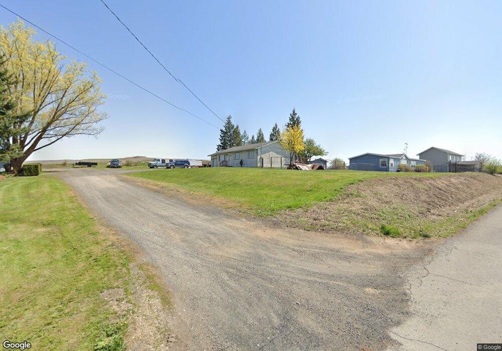
407 E 5th Spangle, WA 99031
Estimated Value: $143,000 - $253,000
3
Beds
1
Bath
1,000
Sq Ft
$212/Sq Ft
Est. Value
About This Home
This home is located at 407 E 5th, Spangle, WA 99031 and is currently estimated at $212,057, approximately $212 per square foot. 407 E 5th is a home located in Spokane County with nearby schools including Liberty Elementary/Junior High School, Liberty High School, and Upper Columbia Academy - Elementary School.
Ownership History
Date
Name
Owned For
Owner Type
Purchase Details
Closed on
Sep 24, 2020
Sold by
Harrington Tamara L and Estate Of Lewis E Harrington
Bought by
Harrington Tamara L
Current Estimated Value
Purchase Details
Closed on
Apr 6, 2010
Sold by
Us Bank National Association
Bought by
Harrington Lewis E and Harrington Tamara L
Purchase Details
Closed on
Nov 4, 2009
Sold by
Cain Wendy K
Bought by
Us Bank National Association
Create a Home Valuation Report for This Property
The Home Valuation Report is an in-depth analysis detailing your home's value as well as a comparison with similar homes in the area
Purchase History
| Date | Buyer | Sale Price | Title Company |
|---|---|---|---|
| Harrington Tamara L | -- | None Available | |
| Harrington Lewis E | $45,326 | First American Title Ins | |
| Us Bank National Association | $72,250 | First American Title Ins Co |
Source: Public Records
Tax History
| Year | Tax Paid | Tax Assessment Tax Assessment Total Assessment is a certain percentage of the fair market value that is determined by local assessors to be the total taxable value of land and additions on the property. | Land | Improvement |
|---|---|---|---|---|
| 2025 | $1,742 | $172,300 | $45,000 | $127,300 |
| 2024 | $1,742 | $180,400 | $35,000 | $145,400 |
| 2023 | $1,327 | $164,900 | $35,000 | $129,900 |
| 2022 | $1,441 | $156,900 | $32,200 | $124,700 |
| 2021 | $1,493 | $121,900 | $24,500 | $97,400 |
| 2020 | $1,330 | $104,180 | $23,380 | $80,800 |
| 2019 | $1,084 | $86,720 | $20,720 | $66,000 |
| 2018 | $1,161 | $79,660 | $15,260 | $64,400 |
| 2017 | $1,057 | $73,320 | $11,220 | $62,100 |
| 2016 | $914 | $68,020 | $11,220 | $56,800 |
| 2015 | $896 | $63,690 | $10,490 | $53,200 |
| 2014 | -- | $63,690 | $10,490 | $53,200 |
| 2013 | -- | $0 | $0 | $0 |
Source: Public Records
Map
Nearby Homes
- 365 N Pine St
- 205 E 1st St
- Lot 2 Nka Cheney Spangle Rd Unit Parcel 32085.9041
- 3013 E Watt Rd
- 1112 E Jennings Rd
- XXX E Cornwall Rd
- 102 E Cameron Rd
- 1403 W Jennings Rd
- 20xxx S Parker Rd
- 22711 S Gateway Ln
- 6919 E Spangle Waverly Rd
- 497 E Stutler Rd
- 0 Unassigned Address Rd Unit SAR202513397
- 18206 S Hanson Pond Ln
- 19212 S Aspen Meadows Dr
- 177XX S Smythe Rd
- nka Unassigned Address Rd
- 15010 S Stentz Rd
- 17901 S Aspen Meadows Dr
- 16771 S Sherman Rd
- 410 E 5th St
- 410 N Spangle Ave
- 325 E 5th St
- 510 N Spangle St
- 460 N Spangle St
- 515 N Spangle Ave
- 520 N Spangle St
- 315 E 5th St
- 330 N Spangle Ave
- 545 N Spangle Ave
- 410 N Pine St
- 000 N Spangle Ave
- 300 E 5th St
- 540 N Pine St
- 330 E 6th St
- 230 E 5th St
- 405 N Pine St
- 315 N Spangle Ave
- 0 Unknown
- 535 N Pine St
Your Personal Tour Guide
Ask me questions while you tour the home.