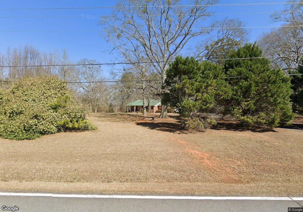
407 Jackson St Locust Grove, GA 30248
Estimated Value: $249,000 - $284,000
3
Beds
2
Baths
1,470
Sq Ft
$183/Sq Ft
Est. Value
About This Home
This home is located at 407 Jackson St, Locust Grove, GA 30248 and is currently estimated at $268,680, approximately $182 per square foot. 407 Jackson St is a home located in Henry County with nearby schools including Unity Grove Elementary School, Locust Grove Middle School, and Locust Grove High School.
Ownership History
Date
Name
Owned For
Owner Type
Purchase Details
Closed on
Aug 31, 2004
Sold by
Carmichael Family
Bought by
Brown Penelope A
Current Estimated Value
Home Financials for this Owner
Home Financials are based on the most recent Mortgage that was taken out on this home.
Original Mortgage
$108,000
Outstanding Balance
$52,772
Interest Rate
5.78%
Mortgage Type
New Conventional
Estimated Equity
$215,908
Purchase Details
Closed on
Jan 7, 2004
Sold by
Carmichael Beneverly D
Bought by
Carmichael Family
Purchase Details
Closed on
Feb 17, 1994
Sold by
Moore Willene G
Bought by
Austin Dana E
Home Financials for this Owner
Home Financials are based on the most recent Mortgage that was taken out on this home.
Original Mortgage
$81,730
Interest Rate
7.02%
Mortgage Type
FHA
Create a Home Valuation Report for This Property
The Home Valuation Report is an in-depth analysis detailing your home's value as well as a comparison with similar homes in the area
Home Values in the Area
Average Home Value in this Area
Purchase History
| Date | Buyer | Sale Price | Title Company |
|---|---|---|---|
| Brown Penelope A | $135,000 | -- | |
| Carmichael Family | $25,200 | -- | |
| Austin Dana E | $83,000 | -- |
Source: Public Records
Mortgage History
| Date | Status | Borrower | Loan Amount |
|---|---|---|---|
| Open | Brown Penelope A | $108,000 | |
| Previous Owner | Austin Dana E | $81,730 |
Source: Public Records
Tax History Compared to Growth
Tax History
| Year | Tax Paid | Tax Assessment Tax Assessment Total Assessment is a certain percentage of the fair market value that is determined by local assessors to be the total taxable value of land and additions on the property. | Land | Improvement |
|---|---|---|---|---|
| 2025 | $843 | $111,840 | $16,280 | $95,560 |
| 2024 | $843 | $104,640 | $14,720 | $89,920 |
| 2023 | $328 | $98,480 | $14,200 | $84,280 |
| 2022 | $510 | $81,520 | $13,080 | $68,440 |
| 2021 | $470 | $67,320 | $11,240 | $56,080 |
| 2020 | $465 | $58,680 | $10,600 | $48,080 |
| 2019 | $1,311 | $53,720 | $10,040 | $43,680 |
| 2018 | $1,185 | $48,840 | $9,280 | $39,560 |
| 2016 | $1,333 | $42,160 | $7,480 | $34,680 |
| 2015 | -- | $40,040 | $8,120 | $31,920 |
| 2014 | $938 | $36,120 | $8,120 | $28,000 |
Source: Public Records
Map
Nearby Homes
- 1129 Abundance Dr
- 1141 Abundance Dr
- 23 Club Dr
- 648 Kimberwick Dr
- 708 Curb Ct
- 700 Patriots Point St
- 107 Club Dr
- 220 Umber Rd
- 733 Myrica Ave
- 417 Hazel Dr
- 409 Hazel Dr
- 421 Hazel Dr
- 155 Club Dr
- 0 Courtney Ct Unit 10432404
- 1321 Deutz Dr
- 14 Peeksville Rd
- Roswell Plan at Peeksville Landing
- Oakland Plan at Peeksville Landing
- Portland Plan at Peeksville Landing
- 232 Paisley Way
- 377 Jackson St
- N N Jackson St
- 1122 Abundance Dr
- 1122 Abundance Dr Unit 19
- 1124 Abundance Dr Unit 18
- 3570 Highway 42 S
- 1379 Deutz Dr
- 1101 Amadas Dr
- 1251 Fendt Dr
- 1383 Deutz Dr
- 1337 Deutz Dr
- 1113 Amadas Dr
- 1340 Deutz Dr
- 1329 Deutz Dr
- 1384 Deutz Dr
- 1263 Fendt Dr
- 1250 Fendt Dr
- 1262 Fendt Dr
- 1328 Deutz Dr
- 1117 Amadas Dr