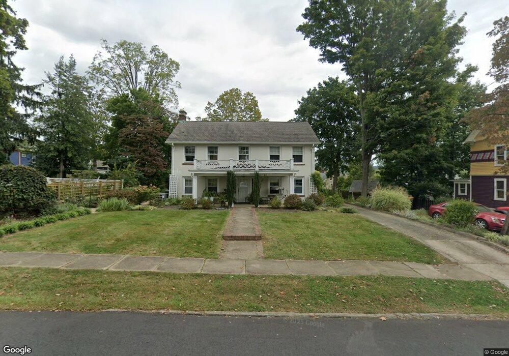
407 Jefferson St Hackettstown, NJ 07840
Estimated Value: $472,000 - $547,000
--
Bed
--
Bath
2,160
Sq Ft
$235/Sq Ft
Est. Value
About This Home
This home is located at 407 Jefferson St, Hackettstown, NJ 07840 and is currently estimated at $507,810, approximately $235 per square foot. 407 Jefferson St is a home located in Warren County with nearby schools including Hackettstown Middle School.
Ownership History
Date
Name
Owned For
Owner Type
Purchase Details
Closed on
Jul 25, 2005
Sold by
Brukhardt Glenn and Brukhardt Elizabeth
Bought by
Decoursey Elizabeth
Current Estimated Value
Purchase Details
Closed on
Aug 14, 2003
Sold by
Baron Norman S and Christine Baron P
Bought by
Brukardt Glenn and Brukardt Elizabeth
Home Financials for this Owner
Home Financials are based on the most recent Mortgage that was taken out on this home.
Original Mortgage
$282,000
Interest Rate
5.52%
Mortgage Type
Purchase Money Mortgage
Create a Home Valuation Report for This Property
The Home Valuation Report is an in-depth analysis detailing your home's value as well as a comparison with similar homes in the area
Home Values in the Area
Average Home Value in this Area
Purchase History
| Date | Buyer | Sale Price | Title Company |
|---|---|---|---|
| Decoursey Elizabeth | -- | -- | |
| Brukardt Glenn | $352,500 | -- |
Source: Public Records
Mortgage History
| Date | Status | Borrower | Loan Amount |
|---|---|---|---|
| Previous Owner | Brukardt Glenn | $282,000 |
Source: Public Records
Tax History Compared to Growth
Tax History
| Year | Tax Paid | Tax Assessment Tax Assessment Total Assessment is a certain percentage of the fair market value that is determined by local assessors to be the total taxable value of land and additions on the property. | Land | Improvement |
|---|---|---|---|---|
| 2025 | $10,852 | $317,400 | $112,200 | $205,200 |
| 2024 | $10,709 | $317,400 | $112,200 | $205,200 |
| 2023 | $10,360 | $317,400 | $112,200 | $205,200 |
| 2022 | $10,360 | $317,400 | $112,200 | $205,200 |
| 2021 | $10,144 | $317,400 | $112,200 | $205,200 |
| 2020 | $9,931 | $317,400 | $112,200 | $205,200 |
| 2019 | $9,598 | $317,400 | $112,200 | $205,200 |
| 2018 | $9,598 | $317,400 | $112,200 | $205,200 |
| 2017 | $9,411 | $317,400 | $112,200 | $205,200 |
| 2016 | $9,255 | $317,400 | $112,200 | $205,200 |
| 2015 | $8,868 | $317,400 | $112,200 | $205,200 |
| 2014 | $8,579 | $317,400 | $112,200 | $205,200 |
Source: Public Records
Map
Nearby Homes
- 412 W Plane St
- 403 W Plane St
- 313 Grand Ave
- 310 Warren St
- 302 Grand Ave
- 215 Grand Ave
- 205 Warren St
- 398 U S 46
- 201 Willow Grove St
- 113 W Valley View Ave
- 533 W Valley View Ave
- 522 W Valley View Ave
- 9 Saw Mill Cir
- 124 Canal Way
- 209 Park Ave
- 41 Main St
- 151 College View Dr
- 133 Deerfield Dr
- 39 Overlook Dr
- 00 Russling Rd Route46
- 410 W Plane St
- 409 Church St
- 411 Church St
- 407 Church St
- 403 Church St Unit 405
- 406 Monroe St
- 408 Monroe St
- 410 Monroe St
- 401 Church St
- 411 W Plane St
- 405 W Plane St
- 406 Church St
- 501 W Plane St
- 404 Church St
- 401 W Plane St
- 400 Church St
- 400 Church St Unit A
- 503 W Plane St
- 311 Church St
- 405 Monroe St