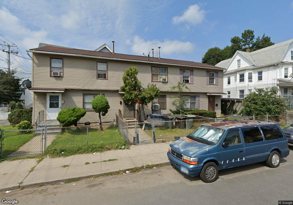
407 Logan St Bridgeport, CT 06607
East End NeighborhoodEstimated Value: $219,000 - $282,000
3
Beds
2
Baths
950
Sq Ft
$270/Sq Ft
Est. Value
About This Home
This home is located at 407 Logan St, Bridgeport, CT 06607 and is currently estimated at $256,254, approximately $269 per square foot. 407 Logan St is a home located in Fairfield County with nearby schools including Jettie S. Tisdale School, Harding High School, and Capital Prep Harbor Upper School.
Ownership History
Date
Name
Owned For
Owner Type
Purchase Details
Closed on
Apr 9, 2012
Sold by
Islam Mohammad
Bought by
Prime Investments Llc
Current Estimated Value
Purchase Details
Closed on
Oct 27, 1992
Sold by
Ct Natl Bk
Bought by
G E Capital Asset Mgmn
Create a Home Valuation Report for This Property
The Home Valuation Report is an in-depth analysis detailing your home's value as well as a comparison with similar homes in the area
Home Values in the Area
Average Home Value in this Area
Purchase History
| Date | Buyer | Sale Price | Title Company |
|---|---|---|---|
| Prime Investments Llc | $17,500 | -- | |
| Prime Investments Llc | $17,500 | -- | |
| G E Capital Asset Mgmn | $29,608 | -- | |
| G E Capital Asset Mgmn | $29,608 | -- |
Source: Public Records
Mortgage History
| Date | Status | Borrower | Loan Amount |
|---|---|---|---|
| Previous Owner | G E Capital Asset Mgmn | $76,000 | |
| Previous Owner | G E Capital Asset Mgmn | $28,200 |
Source: Public Records
Tax History
| Year | Tax Paid | Tax Assessment Tax Assessment Total Assessment is a certain percentage of the fair market value that is determined by local assessors to be the total taxable value of land and additions on the property. | Land | Improvement |
|---|---|---|---|---|
| 2025 | $4,044 | $93,064 | $13,504 | $79,560 |
| 2024 | $4,044 | $93,064 | $13,504 | $79,560 |
| 2023 | $4,044 | $93,064 | $13,504 | $79,560 |
| 2022 | $4,044 | $93,064 | $13,504 | $79,560 |
| 2021 | $4,044 | $93,064 | $13,504 | $79,560 |
| 2020 | $3,216 | $59,570 | $7,550 | $52,020 |
| 2019 | $3,216 | $59,570 | $7,550 | $52,020 |
| 2018 | $3,239 | $59,570 | $7,550 | $52,020 |
| 2017 | $3,239 | $59,570 | $7,550 | $52,020 |
| 2016 | $3,239 | $59,570 | $7,550 | $52,020 |
| 2015 | $3,616 | $85,690 | $12,950 | $72,740 |
| 2014 | $3,616 | $85,690 | $12,950 | $72,740 |
Source: Public Records
Map
Nearby Homes
- 202-204 Hewitt St
- 464 Wilmot Ave
- 1440 Stratford Ave
- 860 Connecticut Ave
- 537 Hollister Ave
- 1034 Connecticut Ave
- 180 Read St
- 10 Ordnance Ct Unit 3
- 644 Carroll Ave Unit 5
- 363 Carroll Ave Unit 365
- 306 Carroll Ave
- 221 Bunnell St
- 643 Newfield Ave Unit 645
- 73 Orange St
- 40-42 5th St
- 102 Carroll Ave
- 98-100 Carroll Ave
- 188 Holly St
- 93 Clifford St
- 179 4th St
- 405 Logan St
- 413 Logan St Unit 415
- 413 Logan St Unit 2
- 409 Logan St
- 421 Logan St Unit 423
- 1531 Stratford Ave Unit 1
- 1531 Stratford Ave Unit 2
- 437 Logan St
- 1533 Stratford Ave Unit 3rd
- 1533 Stratford Ave Unit 1
- 1533 Stratford Ave
- 1555 Stratford Ave
- 1507&1531 Stratford Ave
- 412 Logan St
- 1567 Stratford Ave
- 412 Hollister Ave Unit 3
- 412 Hollister Ave Unit 2
- 424 Logan St Unit 426
- 410 Hollister Ave Unit 412
- 410 Hollister Ave Unit 1
Your Personal Tour Guide
Ask me questions while you tour the home.