Estimated Value: $424,000 - $542,000
5
Beds
3
Baths
2,210
Sq Ft
$210/Sq Ft
Est. Value
About This Home
This home is located at 407 N 1348 E, Lehi, UT 84043 and is currently estimated at $463,947, approximately $209 per square foot. 407 N 1348 E is a home located in Utah County with nearby schools including Sego Lily Elementary School, Lehi Junior High School, and Skyridge High School.
Ownership History
Date
Name
Owned For
Owner Type
Purchase Details
Closed on
Feb 21, 2024
Sold by
Howell Carrie L
Bought by
White Andrew M and White Joanne D
Current Estimated Value
Home Financials for this Owner
Home Financials are based on the most recent Mortgage that was taken out on this home.
Original Mortgage
$383,400
Outstanding Balance
$377,428
Interest Rate
6.66%
Mortgage Type
New Conventional
Estimated Equity
$86,519
Purchase Details
Closed on
Aug 4, 2015
Sold by
Robbins Charles Darron and Robbins Jamie Lyn
Bought by
Howell Carrie L
Home Financials for this Owner
Home Financials are based on the most recent Mortgage that was taken out on this home.
Original Mortgage
$146,000
Interest Rate
3.97%
Mortgage Type
New Conventional
Purchase Details
Closed on
Jul 23, 2013
Sold by
Coopers Hollow Llc
Bought by
Robbins Charles Darron and Robbins Jamie Lyn
Home Financials for this Owner
Home Financials are based on the most recent Mortgage that was taken out on this home.
Original Mortgage
$122,500
Interest Rate
3.98%
Mortgage Type
New Conventional
Create a Home Valuation Report for This Property
The Home Valuation Report is an in-depth analysis detailing your home's value as well as a comparison with similar homes in the area
Home Values in the Area
Average Home Value in this Area
Purchase History
| Date | Buyer | Sale Price | Title Company |
|---|---|---|---|
| White Andrew M | -- | Ohana Title Insurance Agency | |
| Howell Carrie L | -- | First American | |
| Robbins Charles Darron | -- | Provo Land Title Co |
Source: Public Records
Mortgage History
| Date | Status | Borrower | Loan Amount |
|---|---|---|---|
| Open | White Andrew M | $383,400 | |
| Previous Owner | Howell Carrie L | $151,000 | |
| Previous Owner | Howell Carrie L | $146,000 | |
| Previous Owner | Robbins Charles Darron | $122,500 |
Source: Public Records
Tax History Compared to Growth
Tax History
| Year | Tax Paid | Tax Assessment Tax Assessment Total Assessment is a certain percentage of the fair market value that is determined by local assessors to be the total taxable value of land and additions on the property. | Land | Improvement |
|---|---|---|---|---|
| 2025 | $1,947 | $416,000 | $61,200 | $354,800 |
| 2024 | $1,947 | $227,810 | $0 | $0 |
| 2023 | $1,733 | $220,220 | $0 | $0 |
| 2022 | $1,848 | $227,700 | $0 | $0 |
| 2021 | $1,672 | $311,300 | $46,700 | $264,600 |
| 2020 | $1,589 | $292,500 | $43,900 | $248,600 |
| 2019 | $1,369 | $262,000 | $39,300 | $222,700 |
| 2018 | $1,266 | $229,100 | $34,400 | $194,700 |
| 2017 | $1,235 | $118,800 | $0 | $0 |
| 2016 | $1,165 | $104,005 | $0 | $0 |
| 2015 | $1,182 | $100,100 | $0 | $0 |
| 2014 | $1,123 | $94,600 | $0 | $0 |
Source: Public Records
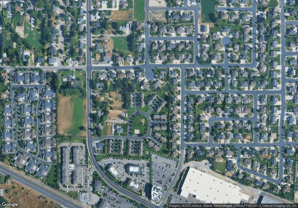
Map
Nearby Homes
- 458 N 1100 E Unit C1
- 458 N 1100 E Unit 3
- 595 N 1200 E
- 987 W 880 N
- 907 W Sunrise Ln
- 1076 W State Rd Unit 204
- 822 N 860 W Unit 317
- 822 W 800 St N Unit LOT319
- 1175 E 900 N
- 997 N 780 St W Unit 510
- 935 N 780 St W Unit 515
- 949 N 780 St W Unit 514
- 974 N 780 St W Unit 509
- 962 N 780 St W Unit 508
- 948 N 780 St W Unit 507
- 916 N 780 St W Unit 501
- 3932 W 1000 N Unit 434
- 3936 W 1000 N Unit 433
- 3962 W 1000 N Unit 428
- 3944 W 1000 N Unit 431