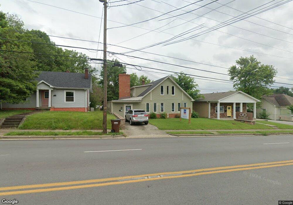
407 N Mulberry St Elizabethtown, KY 42701
Estimated Value: $207,982
3
Beds
3
Baths
3,012
Sq Ft
$69/Sq Ft
Est. Value
About This Home
This home is located at 407 N Mulberry St, Elizabethtown, KY 42701 and is currently estimated at $207,982, approximately $69 per square foot. 407 N Mulberry St is a home located in Hardin County with nearby schools including Elizabethtown High School and New Beginnings Christian Academy.
Ownership History
Date
Name
Owned For
Owner Type
Purchase Details
Closed on
Mar 31, 2023
Sold by
Ingram Thomas and Ingram Kimberly
Bought by
Jamie Martin Insurance Agency Llc
Current Estimated Value
Home Financials for this Owner
Home Financials are based on the most recent Mortgage that was taken out on this home.
Original Mortgage
$140,000
Outstanding Balance
$77,822
Interest Rate
6.32%
Mortgage Type
New Conventional
Estimated Equity
$130,160
Purchase Details
Closed on
Dec 28, 2006
Sold by
Daniels Donald R and Daniels Cheryl S
Bought by
Bst Properties Llc
Purchase Details
Closed on
Dec 8, 2005
Sold by
Gumm Larry J
Bought by
Williams Harlan L
Create a Home Valuation Report for This Property
The Home Valuation Report is an in-depth analysis detailing your home's value as well as a comparison with similar homes in the area
Home Values in the Area
Average Home Value in this Area
Purchase History
| Date | Buyer | Sale Price | Title Company |
|---|---|---|---|
| Jamie Martin Insurance Agency Llc | $175,000 | Turnkey Title | |
| Jamie Martin Insurance Agency Llc | $175,000 | Turnkey Title | |
| Bst Properties Llc | $278,580 | None Available | |
| Williams Harlan L | $88,000 | None Available |
Source: Public Records
Mortgage History
| Date | Status | Borrower | Loan Amount |
|---|---|---|---|
| Open | Jamie Martin Insurance Agency Llc | $140,000 | |
| Closed | Jamie Martin Insurance Agency Llc | $140,000 |
Source: Public Records
Tax History Compared to Growth
Tax History
| Year | Tax Paid | Tax Assessment Tax Assessment Total Assessment is a certain percentage of the fair market value that is determined by local assessors to be the total taxable value of land and additions on the property. | Land | Improvement |
|---|---|---|---|---|
| 2024 | $2,486 | $200,200 | $15,200 | $185,000 |
| 2023 | $2,422 | $200,200 | $15,200 | $185,000 |
| 2022 | $2,077 | $159,300 | $15,200 | $144,100 |
| 2021 | $2,038 | $159,300 | $15,200 | $144,100 |
| 2020 | $2,020 | $159,300 | $15,200 | $144,100 |
| 2019 | $167 | $159,300 | $0 | $0 |
| 2018 | $1,769 | $143,800 | $0 | $0 |
| 2017 | $1,727 | $143,800 | $0 | $0 |
| 2016 | $0 | $143,800 | $0 | $0 |
| 2015 | $1,190 | $143,800 | $0 | $0 |
| 2012 | -- | $120,000 | $0 | $0 |
Source: Public Records
Map
Nearby Homes
- 413 Stewart St
- 406 N Main St
- 406 N Mulberry St
- 206 Beech St
- 314 Central Ave Unit s A, B, C
- 216 W Warfield St
- 304 Central Ave
- 302 Central Ave
- 109 W Poplar St
- 215 E Brown St
- 211 W Poplar St
- 310 Jefferson St
- 230 N Miles St
- 306 Hardin St
- 224 N Miles St
- 310 A/B Jefferson St
- 308 Meadow Ln
- 214 N Miles St
- 207 Hillcrest Dr
- 133 W Dixie Ave
- 405 N Mulberry St
- 409 N Mulberry St
- 411 N Mulberry St
- 403 N Mulberry St
- 204 W Brown St
- 0 Highway 61 Unit 9999175
- 0 Highway 61 Unit 10014585
- 0 Highway 61 Unit 10018991
- 0 Highway 61 Unit 10023569
- 0 Hwy 61 Unit 1227393
- 406 Stewart St
- 408 Stewart St
- 413 N Mulberry St
- 410 Stewart St
- 202 W Brown St
- 415 N Mulberry St
- 412 Stewart St
- 323 N Mulberry St
- 324 N Mulberry St
- 202 W Warfield St