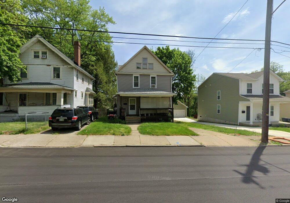
407 Rhodes Ave Akron, OH 44307
Sherbondy Hill NeighborhoodEstimated Value: $92,265 - $129,000
3
Beds
1
Bath
1,504
Sq Ft
$74/Sq Ft
Est. Value
About This Home
This home is located at 407 Rhodes Ave, Akron, OH 44307 and is currently estimated at $110,816, approximately $73 per square foot. 407 Rhodes Ave is a home located in Summit County with nearby schools including Towpath Trail High School, St. Vincent Elementary School, and St Vincent-St Mary High School.
Ownership History
Date
Name
Owned For
Owner Type
Purchase Details
Closed on
Oct 2, 2024
Sold by
Vancant Larry E
Bought by
Mcneil Tracey Lee
Current Estimated Value
Purchase Details
Closed on
Dec 15, 2022
Sold by
Vancant Marilyn A
Bought by
Vancant Larry E
Purchase Details
Closed on
Dec 14, 2022
Sold by
Vancant Marilyn A
Bought by
Vancant Larry E
Purchase Details
Closed on
Mar 27, 2013
Sold by
Vancant Larry
Bought by
Vancant Larry and Vancant Marilyn A
Create a Home Valuation Report for This Property
The Home Valuation Report is an in-depth analysis detailing your home's value as well as a comparison with similar homes in the area
Home Values in the Area
Average Home Value in this Area
Purchase History
| Date | Buyer | Sale Price | Title Company |
|---|---|---|---|
| Mcneil Tracey Lee | -- | None Listed On Document | |
| Vancant Larry E | -- | None Listed On Document | |
| Vancant Larry E | -- | -- | |
| Vancant Larry | -- | None Available |
Source: Public Records
Tax History Compared to Growth
Tax History
| Year | Tax Paid | Tax Assessment Tax Assessment Total Assessment is a certain percentage of the fair market value that is determined by local assessors to be the total taxable value of land and additions on the property. | Land | Improvement |
|---|---|---|---|---|
| 2025 | $822 | $13,804 | $4,207 | $9,597 |
| 2024 | $822 | $13,804 | $4,207 | $9,597 |
| 2023 | $822 | $13,804 | $4,207 | $9,597 |
| 2022 | $639 | $8,121 | $2,475 | $5,646 |
| 2021 | $639 | $8,121 | $2,475 | $5,646 |
| 2020 | $631 | $8,130 | $2,480 | $5,650 |
| 2019 | $1,206 | $14,550 | $3,770 | $10,780 |
| 2018 | $1,192 | $14,550 | $3,770 | $10,780 |
| 2017 | $1,228 | $14,550 | $3,770 | $10,780 |
| 2016 | $1,228 | $14,800 | $3,770 | $11,030 |
| 2015 | $1,228 | $14,800 | $3,770 | $11,030 |
| 2014 | $1,163 | $14,800 | $3,770 | $11,030 |
| 2013 | $1,166 | $15,590 | $3,770 | $11,820 |
Source: Public Records
Map
Nearby Homes
- 478 Copley Rd
- 238 Gale St
- 483 Bishop St
- 453 Briarwood Dr
- 243 S Balch St
- 577 Rhodes Ave
- 222 Rhodes Ave
- 568 Auld Farm Cir
- 524 Auld Farm Cir
- 644 Diagonal Rd
- 413 Crestwood Ave
- 136 Gale St
- 434 Hillwood Dr
- 144 Hall St
- 91 Westwood Ave
- 414 Beechwood Dr
- 593 Hoye Ave
- 867 Orrin St
- 359 Beechwood Dr
- 875 Orrin St
- 403 Rhodes Ave
- 413 Rhodes Ave
- 401 Rhodes Ave
- 395 Rhodes Ave
- 410 Douglas St
- 423 Rhodes Ave
- 414 Douglas St
- 406 Douglas St
- 418 Douglas St
- 408 Rhodes Ave
- 398 Douglas St
- 414 Rhodes Ave
- 387 Rhodes Ave Unit 389
- 427 Rhodes Ave
- 394 Douglas St
- 420 Rhodes Ave
- 431 Rhodes Ave
- 392 Rhodes Ave
- 383 Rhodes Ave
- 424 Rhodes Ave