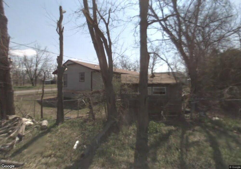
407 S Bryan St Locust Grove, OK 74352
Estimated Value: $116,000 - $136,000
3
Beds
2
Baths
1,104
Sq Ft
$115/Sq Ft
Est. Value
About This Home
This home is located at 407 S Bryan St, Locust Grove, OK 74352 and is currently estimated at $126,810, approximately $114 per square foot. 407 S Bryan St is a home located in Mayes County.
Ownership History
Date
Name
Owned For
Owner Type
Purchase Details
Closed on
Aug 29, 2007
Sold by
Rcb Bank
Bought by
Ashley Thomas M and Ashley Miriam
Current Estimated Value
Home Financials for this Owner
Home Financials are based on the most recent Mortgage that was taken out on this home.
Original Mortgage
$40,000
Outstanding Balance
$6,256
Interest Rate
6.7%
Mortgage Type
Unknown
Estimated Equity
$120,554
Purchase Details
Closed on
Oct 5, 2000
Sold by
Littlefield Teddy and Littlefield Caroly
Bought by
Littlefield Ted and Littlefield Billie
Purchase Details
Closed on
Dec 13, 1999
Sold by
Howell Ii Dennis and Howell Mary
Bought by
Littlefield Teddy
Create a Home Valuation Report for This Property
The Home Valuation Report is an in-depth analysis detailing your home's value as well as a comparison with similar homes in the area
Home Values in the Area
Average Home Value in this Area
Purchase History
| Date | Buyer | Sale Price | Title Company |
|---|---|---|---|
| Ashley Thomas M | $27,000 | None Available | |
| Littlefield Ted | $38,000 | -- | |
| Littlefield Teddy | -- | -- |
Source: Public Records
Mortgage History
| Date | Status | Borrower | Loan Amount |
|---|---|---|---|
| Open | Ashley Thomas M | $40,000 |
Source: Public Records
Tax History Compared to Growth
Tax History
| Year | Tax Paid | Tax Assessment Tax Assessment Total Assessment is a certain percentage of the fair market value that is determined by local assessors to be the total taxable value of land and additions on the property. | Land | Improvement |
|---|---|---|---|---|
| 2025 | $706 | $7,975 | $1,393 | $6,582 |
| 2023 | $706 | $7,234 | $1,287 | $5,947 |
| 2022 | $622 | $6,889 | $1,213 | $5,676 |
| 2021 | $605 | $6,562 | $1,188 | $5,374 |
| 2020 | $584 | $6,249 | $1,163 | $5,086 |
| 2019 | $557 | $5,952 | $1,130 | $4,822 |
| 2018 | $568 | $5,952 | $1,130 | $4,822 |
| 2017 | $569 | $5,952 | $1,130 | $4,822 |
| 2016 | $555 | $5,952 | $1,130 | $4,822 |
| 2015 | $573 | $5,952 | $1,130 | $4,822 |
| 2014 | $573 | $5,952 | $1,130 | $4,822 |
Source: Public Records
Map
Nearby Homes
- 00 Hill St
- 815 S Cherokee St
- 715 S Cherokee St
- 608 S Cherokee St
- 301 S Water St
- 8604 S County Road 4468
- 310 W Harrison
- 212 N Mayes St
- 1 W Ross St
- 415 N Broadway
- 57 Joe Koelsch Dr
- 0 Peach St
- 000 Earl Smith Rd
- 10171 U S Highway 412
- 0 Orange St
- 207 Orange St
- 6164 E 578
- 6959 E 561 Rd
- 149 SE 4404 Loop
- 173 Dove Rd
- 407 Bryan
- 411 Bryan
- 0 Park Blvd
- 406 Bryan
- 412 Bryan
- 304 Park St
- 416 Bryan
- 311 S Bryan St
- 311 Bryan
- 0 550 Rd Unit 1116229
- 0 550 Rd Unit 1406793
- 0 550 Rd Unit 1136100
- 0 550 Rd Unit 1741752
- 0 Pine Hill St
- 0 Hill St Unit 2402657
- 0 Hill St Unit 2324683
- 0 Hill St Unit 2236698
- 0 Hill St Unit 1631258
- 0 Hill St Unit 1709715
- 405 Hill