407 Safrit Rd Salisbury, NC 28146
Estimated Value: $311,000 - $444,412
--
Bed
2
Baths
2,049
Sq Ft
$187/Sq Ft
Est. Value
About This Home
This home is located at 407 Safrit Rd, Salisbury, NC 28146 and is currently estimated at $382,603, approximately $186 per square foot. 407 Safrit Rd is a home located in Rowan County with nearby schools including China Grove Elementary School, Southeast Middle School, and Jesse C Carson High School.
Ownership History
Date
Name
Owned For
Owner Type
Purchase Details
Closed on
May 6, 2021
Sold by
Reavis Michael Gray and Reavis Denise S
Bought by
Reavis Rodney Lee
Current Estimated Value
Purchase Details
Closed on
Nov 24, 2020
Sold by
Aaron Minehart Construction Inc
Bought by
Reavis Brady Gray
Create a Home Valuation Report for This Property
The Home Valuation Report is an in-depth analysis detailing your home's value as well as a comparison with similar homes in the area
Home Values in the Area
Average Home Value in this Area
Purchase History
| Date | Buyer | Sale Price | Title Company |
|---|---|---|---|
| Reavis Rodney Lee | $200,000 | Chicago Title Insurance Co | |
| Reavis Brady Gray | $15,000 | None Available |
Source: Public Records
Tax History Compared to Growth
Tax History
| Year | Tax Paid | Tax Assessment Tax Assessment Total Assessment is a certain percentage of the fair market value that is determined by local assessors to be the total taxable value of land and additions on the property. | Land | Improvement |
|---|---|---|---|---|
| 2025 | $2,185 | $326,134 | $157,070 | $169,064 |
| 2024 | $2,185 | $326,134 | $157,070 | $169,064 |
| 2023 | $2,185 | $326,134 | $157,070 | $169,064 |
| 2022 | $2,048 | $274,002 | $141,807 | $132,195 |
| 2021 | $2,033 | $274,002 | $141,807 | $132,195 |
| 2020 | $2,003 | $269,962 | $134,985 | $134,977 |
| 2019 | $2,003 | $269,962 | $134,985 | $134,977 |
| 2018 | $1,763 | $239,576 | $134,984 | $104,592 |
| 2017 | $1,763 | $239,576 | $134,984 | $104,592 |
| 2016 | $1,763 | $239,576 | $134,984 | $104,592 |
| 2015 | $1,790 | $239,576 | $134,984 | $104,592 |
| 2014 | $1,601 | $224,836 | $116,056 | $108,780 |
Source: Public Records
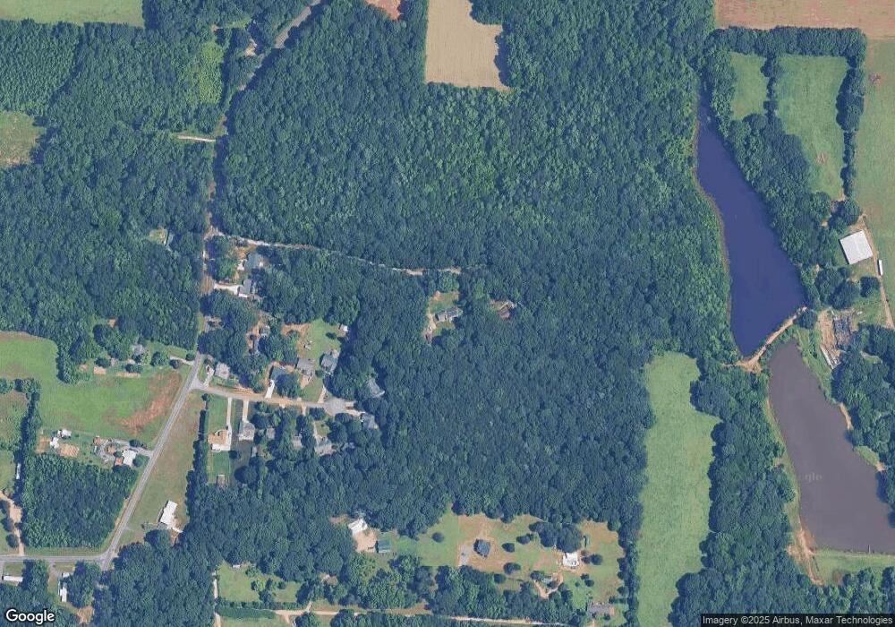
Map
Nearby Homes
- 0 Brookfield Cir Unit CAR4292885
- 0 Ed Weavers Rd
- 1143 Journey Ln
- 1352 Eva Ln
- 1365 Safrit Rd
- 1925 Mount Hope Church Rd
- 1140 Peeler Rd
- 6000 S Main St
- 0 Maple St
- 355 Swink Ave
- 0 Swink Ave
- 137 Stafford Estates Dr
- 330 Oak Ridge Run
- 6115 Southern Ln
- 1291 Mill Wheel Dr
- 1018 Grist Mill Run Unit 66zt
- 6255 Meadow Ln
- 107 Mink Dr
- 850 and 830 E Nc 152 Hwy E
- 1180 Grist Mill Run
- 409 Safrit Rd
- 1105 Castlebrook Dr
- 1085 Castlebrook Dr
- 1065 Castlebrook Dr
- 1045 Castlebrook Dr
- 1098 Castlebrook Dr
- 309 Safrit Rd
- 1084 Castlebrook Dr
- 311 Safrit Rd
- 335 Safrit Rd
- 1072 Castlebrook Dr
- 355 Safrit Rd
- 1050 Castlebrook Dr
- 1038 Castlebrook Dr
- 210 Hawkridge Ln
- 1020 Castlebrook Dr
- 170 Hawkridge Ln
- 314 Safrit Rd
- 503 Safrit Rd
- 210 Safrit Rd