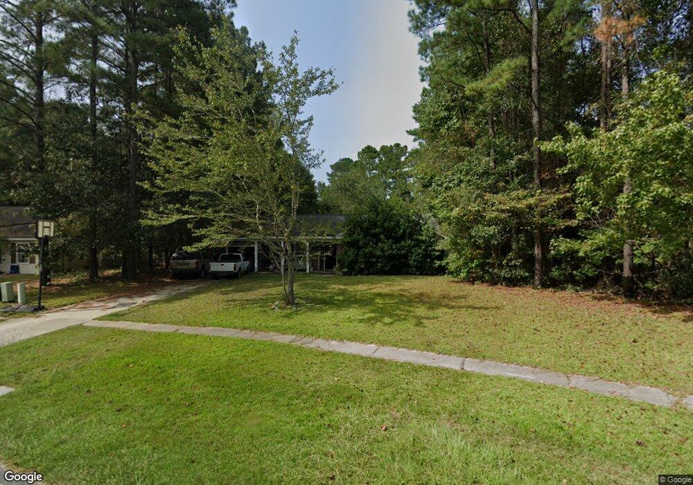
407 Shadowbrook Cir Unit 52 Springfield, GA 31329
Estimated Value: $246,000 - $261,000
3
Beds
2
Baths
1,285
Sq Ft
$198/Sq Ft
Est. Value
About This Home
This home is located at 407 Shadowbrook Cir Unit 52, Springfield, GA 31329 and is currently estimated at $253,788, approximately $197 per square foot. 407 Shadowbrook Cir Unit 52 is a home located in Effingham County with nearby schools including Ebenezer Elementary School, Effingham County Middle School, and Effingham County High School.
Ownership History
Date
Name
Owned For
Owner Type
Purchase Details
Closed on
Aug 18, 2016
Sold by
Davis Marcia M
Bought by
Mccaleb Robert G
Current Estimated Value
Home Financials for this Owner
Home Financials are based on the most recent Mortgage that was taken out on this home.
Original Mortgage
$117,472
Outstanding Balance
$93,127
Interest Rate
3.45%
Mortgage Type
VA
Estimated Equity
$160,661
Purchase Details
Closed on
Jun 1, 2013
Sold by
Nadi Camilla S
Bought by
Davis Marcia M
Purchase Details
Closed on
Jun 1, 2010
Sold by
Usda Rural Development
Bought by
Davis Marcia M
Purchase Details
Closed on
Sep 23, 2005
Sold by
Jenkins & Jenkins Llc
Bought by
Nadi Camilla S
Home Financials for this Owner
Home Financials are based on the most recent Mortgage that was taken out on this home.
Original Mortgage
$120,138
Interest Rate
5.72%
Mortgage Type
New Conventional
Create a Home Valuation Report for This Property
The Home Valuation Report is an in-depth analysis detailing your home's value as well as a comparison with similar homes in the area
Home Values in the Area
Average Home Value in this Area
Purchase History
| Date | Buyer | Sale Price | Title Company |
|---|---|---|---|
| Mccaleb Robert G | $115,000 | -- | |
| Davis Marcia M | $75,200 | -- | |
| Davis Marcia M | -- | -- | |
| Nadi Camilla S | $120,137 | -- |
Source: Public Records
Mortgage History
| Date | Status | Borrower | Loan Amount |
|---|---|---|---|
| Open | Mccaleb Robert G | $117,472 | |
| Previous Owner | Nadi Camilla S | $120,138 |
Source: Public Records
Tax History
| Year | Tax Paid | Tax Assessment Tax Assessment Total Assessment is a certain percentage of the fair market value that is determined by local assessors to be the total taxable value of land and additions on the property. | Land | Improvement |
|---|---|---|---|---|
| 2025 | $1,948 | $87,011 | $22,800 | $64,211 |
| 2024 | $1,948 | $81,614 | $22,800 | $58,814 |
| 2023 | $1,163 | $53,157 | $14,975 | $38,182 |
| 2022 | $1,678 | $53,157 | $14,975 | $38,182 |
| 2021 | $1,668 | $56,291 | $14,400 | $41,891 |
| 2020 | $1,646 | $51,521 | $10,000 | $41,521 |
| 2019 | $1,653 | $51,521 | $10,000 | $41,521 |
| 2018 | $1,622 | $47,365 | $8,800 | $38,565 |
| 2017 | $1,631 | $47,365 | $8,800 | $38,565 |
| 2016 | $1,648 | $47,436 | $8,800 | $38,636 |
| 2015 | -- | $45,036 | $6,400 | $38,636 |
| 2014 | -- | $41,872 | $6,400 | $35,472 |
| 2013 | -- | $31,926 | $1,200 | $30,726 |
Source: Public Records
Map
Nearby Homes
- 137 Blackwater Way
- 560 Log Landing Rd
- 119 Blackwater Way
- 102 Sand Pine Ct
- 101 Black Pine Dr
- 300 White Willow Ct
- 109 Pine Thicket Way
- 109 Knotty Pine Cir
- 125 Knotty Pine Cir
- 126 Knotty Pine Cir
- 887 Log Landing Rd
- 124 Jennie Dr
- 123 Alexander Trail
- 108 Alexander Trail
- 104 Alexander Trail
- 111 Alexander Trail
- 165 Cubbedge Dr
- 194 Cubbedge Dr
- 104 Speir Ct
- 247 Lillian St
- 407 Shadowbrook Cir
- 405 Shadowbrook Cir
- 409 Shadowbrook Cir
- 403 Shadowbrook Cir
- 411 Shadowbrook Cir
- 402 Shadowbrook Cir
- 400 Shadowbrook Cir
- 546 Log Landing Rd
- 401 Shadowbrook Cir
- 413 Shadowbrook Cir
- 511 Cypressridge Run
- 511 Cypressridge Run Unit 35
- 415 Shadowbrook Cir
- 446 Shadowbrook Cir
- 495 Shadowbrook Cir
- 495 Shadowbrook Cir Unit 3
- 509 Cypressridge Run
- 550 Log Landing Rd
- 507 Cypressridge Run
- 444 Shadowbrook Cir
Your Personal Tour Guide
Ask me questions while you tour the home.