Estimated Value: $432,000 - $650,591
4
Beds
1
Bath
2,089
Sq Ft
$259/Sq Ft
Est. Value
About This Home
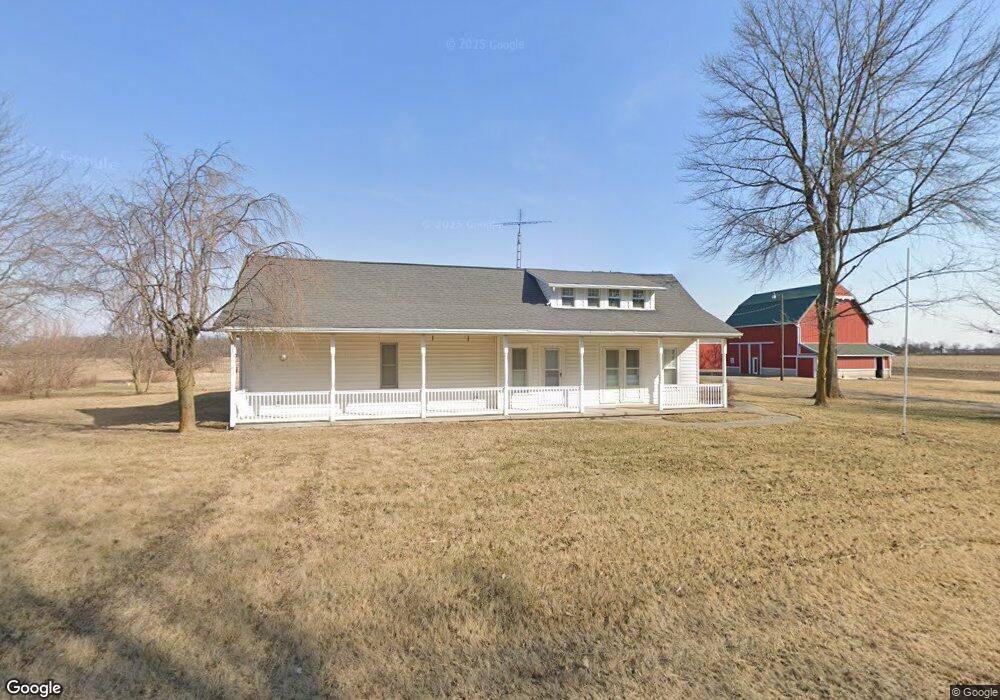
This home is located at 407 State Route 81, Ada, OH 45810 and is currently estimated at $541,296, approximately $259 per square foot. 407 State Route 81 is a home located in Hardin County with nearby schools including Ada Elementary School and Ada High School.
Create a Home Valuation Report for This Property
The Home Valuation Report is an in-depth analysis detailing your home's value as well as a comparison with similar homes in the area
Tax History
| Year | Tax Paid | Tax Assessment Tax Assessment Total Assessment is a certain percentage of the fair market value that is determined by local assessors to be the total taxable value of land and additions on the property. | Land | Improvement |
|---|---|---|---|---|
| 2024 | $4,425 | $116,900 | $56,960 | $59,940 |
| 2023 | $4,402 | $116,900 | $56,960 | $59,940 |
| 2022 | $3,447 | $79,690 | $29,070 | $50,620 |
| 2021 | $3,804 | $79,690 | $29,070 | $50,620 |
| 2020 | $3,858 | $79,690 | $29,070 | $50,620 |
| 2019 | $4,388 | $91,900 | $46,130 | $45,770 |
| 2018 | $4,290 | $91,900 | $46,130 | $45,770 |
| 2017 | $4,180 | $91,900 | $46,130 | $45,770 |
| 2016 | $4,215 | $97,750 | $59,470 | $38,280 |
| 2015 | $4,183 | $97,750 | $59,470 | $38,280 |
| 2014 | $4,119 | $97,750 | $59,470 | $38,280 |
| 2013 | $2,960 | $66,230 | $27,690 | $38,540 |
Source: Public Records
Map
Nearby Homes
- 602 Conley Ave
- 327 W North Ave
- 128 W North Ave
- 210 N Gilbert St
- 629 N Main St
- 211 S Main St
- 530 N Main St
- 724 N Main St
- 710 S Main St
- 746 N Main St Unit 61
- 746 N Main St Unit 63
- 746 N Main St Unit 74
- 746 N Main St Unit 9
- 746 N Main St Unit 35
- 746 N Main St Unit 5
- 746 N Main St Unit 39
- 820 S Main St
- 442 Edwards St
- 308-310 S Simon St
- 314 E University Ave
Your Personal Tour Guide
Ask me questions while you tour the home.