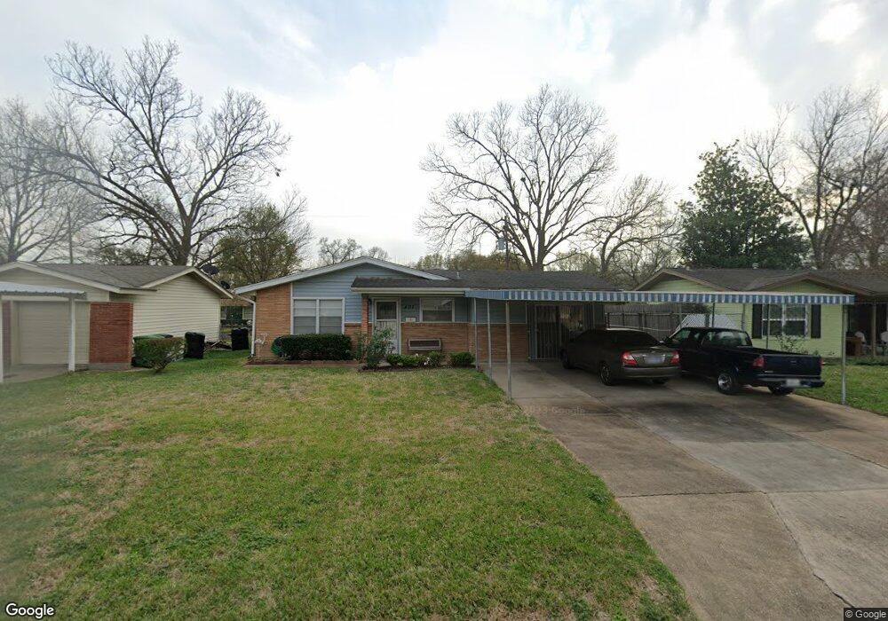
407 Surratt Dr Houston, TX 77091
Northside-Northline NeighborhoodEstimated Value: $189,000 - $316,000
3
Beds
2
Baths
1,454
Sq Ft
$166/Sq Ft
Est. Value
About This Home
This home is located at 407 Surratt Dr, Houston, TX 77091 and is currently estimated at $240,945, approximately $165 per square foot. 407 Surratt Dr is a home located in Harris County with nearby schools including Wesley Elementary School, Williams Middle, and Booker T Washington Sr High.
Ownership History
Date
Name
Owned For
Owner Type
Purchase Details
Closed on
May 30, 2003
Sold by
Christler Kathern L
Bought by
Springfield Oneida
Current Estimated Value
Home Financials for this Owner
Home Financials are based on the most recent Mortgage that was taken out on this home.
Original Mortgage
$75,000
Outstanding Balance
$32,758
Interest Rate
5.74%
Mortgage Type
Purchase Money Mortgage
Estimated Equity
$208,187
Create a Home Valuation Report for This Property
The Home Valuation Report is an in-depth analysis detailing your home's value as well as a comparison with similar homes in the area
Home Values in the Area
Average Home Value in this Area
Purchase History
| Date | Buyer | Sale Price | Title Company |
|---|---|---|---|
| Springfield Oneida | -- | -- |
Source: Public Records
Mortgage History
| Date | Status | Borrower | Loan Amount |
|---|---|---|---|
| Open | Springfield Oneida | $75,000 |
Source: Public Records
Tax History Compared to Growth
Tax History
| Year | Tax Paid | Tax Assessment Tax Assessment Total Assessment is a certain percentage of the fair market value that is determined by local assessors to be the total taxable value of land and additions on the property. | Land | Improvement |
|---|---|---|---|---|
| 2025 | $2,762 | $203,069 | $70,560 | $132,509 |
| 2024 | $2,762 | $203,069 | $70,560 | $132,509 |
| 2023 | $2,762 | $189,553 | $70,560 | $118,993 |
| 2022 | $2,744 | $141,559 | $49,392 | $92,167 |
| 2021 | $2,640 | $138,016 | $49,392 | $88,624 |
| 2020 | $2,494 | $128,558 | $49,392 | $79,166 |
| 2019 | $2,369 | $118,359 | $35,280 | $83,079 |
| 2018 | $339 | $85,118 | $10,584 | $74,534 |
| 2017 | $2,152 | $85,118 | $10,584 | $74,534 |
| 2016 | $2,152 | $85,118 | $10,584 | $74,534 |
| 2015 | $400 | $79,251 | $10,584 | $68,667 |
| 2014 | $400 | $79,251 | $10,584 | $68,667 |
Source: Public Records
Map
Nearby Homes
- 406 Red Ripple Rd
- 422 Surratt Dr
- 427 Yale Oaks Ln
- 434 Yale Oaks Ln
- 422 Yale Oaks Ln
- 410 Yale Oaks Ln
- 6100 Stuebner Airline Rd
- 6057 Yale St
- 522 Surratt Dr
- 334 Yale Oaks Ln
- 327 Yale Oaks Ln
- 615 Northew St Unit J
- 615 Northew St Unit K
- 201 W Rosamond St Unit 41
- 201 W Rosamond St Unit 53
- 201 W Rosamond St Unit 61
- 0 Pickering St
- 304 W Hamilton Lot B St
- 304 W St
- 304 W St E
- 403 Surratt Dr
- 411 Surratt Dr
- 363 Surratt Dr
- 415 Surratt Dr
- 410 Red Ripple Rd
- 402 Red Ripple Rd
- 362 Red Ripple Rd
- 410 Surratt Dr
- 406 Surratt Dr
- 414 Red Ripple Rd
- 359 Surratt Dr
- 419 Surratt Dr
- 414 Surratt Dr
- 402 Surratt Dr
- 418 Surratt Dr
- 358 Red Ripple Rd
- 355 Surratt Dr
- 423 Surratt Dr
- 354 Red Ripple Rd
- 354 Surratt Dr