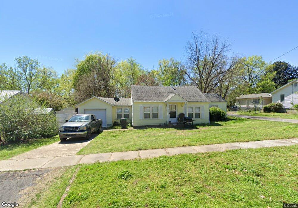
407 W Ross St Tahlequah, OK 74464
Estimated Value: $76,245 - $119,000
2
Beds
1
Bath
980
Sq Ft
$106/Sq Ft
Est. Value
About This Home
This home is located at 407 W Ross St, Tahlequah, OK 74464 and is currently estimated at $103,811, approximately $105 per square foot. 407 W Ross St is a home located in Cherokee County with nearby schools including Greenwood Elementary School, Cherokee Elementary School, and Tahlequah Middle School.
Ownership History
Date
Name
Owned For
Owner Type
Purchase Details
Closed on
Nov 8, 2006
Sold by
Dyson Nancy
Bought by
Swafford Philip A and Swafford Jennifer
Current Estimated Value
Home Financials for this Owner
Home Financials are based on the most recent Mortgage that was taken out on this home.
Original Mortgage
$35,000
Interest Rate
6.28%
Mortgage Type
Purchase Money Mortgage
Purchase Details
Closed on
Feb 27, 2004
Sold by
Nancy and Johnny Dyson
Bought by
Nancy Dyson
Purchase Details
Closed on
Jun 25, 1999
Sold by
Romadell Hannah
Bought by
Nancy and Johnny Dyson,
Create a Home Valuation Report for This Property
The Home Valuation Report is an in-depth analysis detailing your home's value as well as a comparison with similar homes in the area
Home Values in the Area
Average Home Value in this Area
Purchase History
| Date | Buyer | Sale Price | Title Company |
|---|---|---|---|
| Swafford Philip A | $24,000 | Tahlequah Abstract Closing S | |
| Nancy Dyson | -- | -- | |
| Nancy | $9,000 | -- |
Source: Public Records
Mortgage History
| Date | Status | Borrower | Loan Amount |
|---|---|---|---|
| Closed | Swafford Philip A | $35,000 |
Source: Public Records
Tax History Compared to Growth
Tax History
| Year | Tax Paid | Tax Assessment Tax Assessment Total Assessment is a certain percentage of the fair market value that is determined by local assessors to be the total taxable value of land and additions on the property. | Land | Improvement |
|---|---|---|---|---|
| 2025 | $284 | $3,037 | $578 | $2,459 |
| 2024 | $291 | $3,067 | $578 | $2,489 |
| 2023 | $291 | $3,492 | $770 | $2,722 |
| 2022 | $324 | $3,492 | $770 | $2,722 |
| 2021 | $325 | $3,492 | $770 | $2,722 |
| 2020 | $318 | $3,350 | $770 | $2,580 |
| 2019 | $300 | $3,190 | $770 | $2,420 |
| 2018 | $289 | $3,039 | $770 | $2,269 |
| 2017 | $288 | $3,039 | $770 | $2,269 |
| 2016 | $278 | $2,911 | $738 | $2,173 |
| 2015 | $249 | $2,772 | $728 | $2,044 |
| 2014 | $249 | $2,641 | $578 | $2,063 |
Source: Public Records
Map
Nearby Homes
- 513 S State Ave
- 510 S Cherokee Ave
- 516 W Fox St
- 224 W Chickasaw St
- 802 S College Ave
- 902 S Mission Ave
- 0 W Choctaw St
- 757 S Bluff Ave
- 306 Short St
- 807 W Choctaw St
- 902 S Owens Ave
- 201 Sandy Cir
- 813 W Choctaw St
- 610 W Delaware St
- 1025 W Fox St
- 321 W Shawnee St
- 403 S Bluff Ave
- 702 Wilson Ave
- 104 S West Ave
- 215 S Maple Ave
- 500 State St
- 500 S State Ave
- 502 S State Ave Unit 1/2
- 502 S State Ave Unit .5
- 1301-A W Ross St
- 1301-B W Ross St
- 502 State St
- 488 S State Ave
- 452 S State Ave
- 425 W Ross St
- 418 W Ross St
- 417 W Ross St
- 514 S State Ave
- 523 S State Ave
- 527 S State Ave
- 509 S Mission Ave
- 458 S State Ave
- 511 S Mission Ave
- 425 S Mission Ave
- 448 S State Ave