Estimated Value: $172,000 - $240,565
--
Bed
1
Bath
--
Sq Ft
0.26
Acres
About This Home
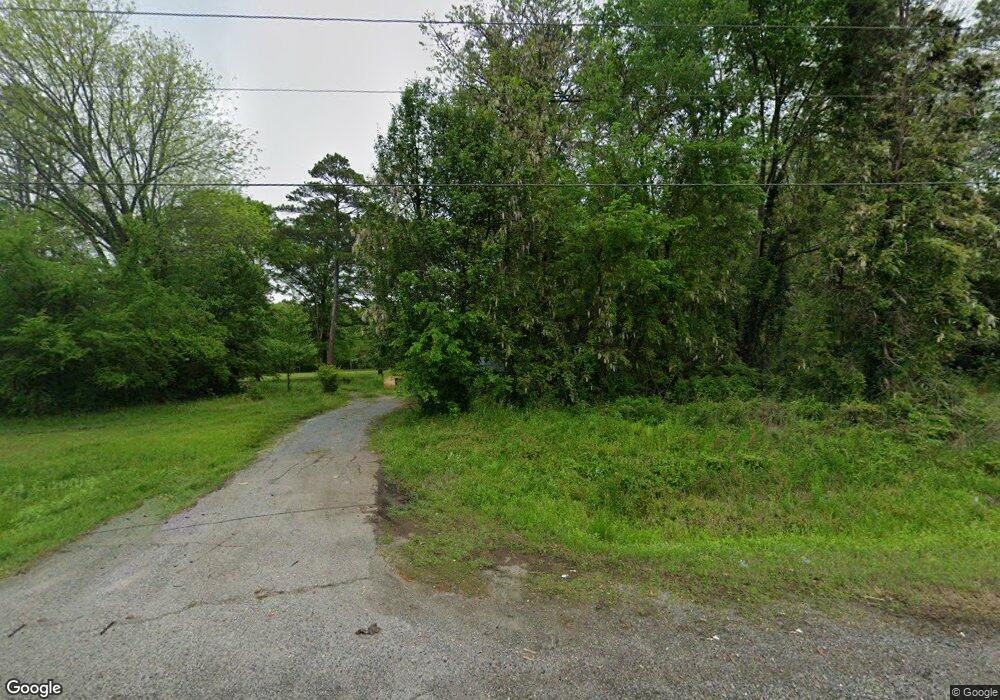
This home is located at 4070 Alabama Hwy NW, Rome, GA 30165 and is currently estimated at $208,391. 4070 Alabama Hwy NW is a home located in Floyd County with nearby schools including Coosa Middle School and Coosa High School.
Ownership History
Date
Name
Owned For
Owner Type
Purchase Details
Closed on
Dec 12, 2023
Sold by
Ozment Floyd
Bought by
Morente Tino Jose
Current Estimated Value
Purchase Details
Closed on
Sep 26, 2022
Sold by
Hess Yvonne
Bought by
Ozment Floyd
Purchase Details
Closed on
Sep 3, 1987
Sold by
Bowling Bessie M
Bought by
Hess Ronald
Purchase Details
Closed on
Apr 30, 1985
Sold by
Bowling Nolan H
Bought by
Bowling Bessie M
Purchase Details
Closed on
Jun 7, 1984
Sold by
Bowling Bessie M
Bought by
Bowling Nolan H
Purchase Details
Closed on
Jan 1, 1978
Sold by
P\R
Bought by
Bowling Bessie M
Purchase Details
Closed on
Nov 10, 1976
Sold by
Boling Nolan H and Boling Bessie M
Bought by
P\R
Purchase Details
Closed on
Jul 19, 1975
Sold by
Bowling R S
Bought by
Boling Nolan H and Boling Bessie M
Purchase Details
Closed on
Jan 1, 1959
Bought by
Bowling R S
Create a Home Valuation Report for This Property
The Home Valuation Report is an in-depth analysis detailing your home's value as well as a comparison with similar homes in the area
Home Values in the Area
Average Home Value in this Area
Purchase History
| Date | Buyer | Sale Price | Title Company |
|---|---|---|---|
| Morente Tino Jose | $220,000 | -- | |
| Ozment Floyd | $270,000 | -- | |
| Hess Ronald | -- | -- | |
| Bowling Bessie M | -- | -- | |
| Bowling Nolan H | -- | -- | |
| Bowling Bessie M | -- | -- | |
| P\R | -- | -- | |
| Boling Nolan H | -- | -- | |
| Bowling R S | -- | -- |
Source: Public Records
Tax History Compared to Growth
Tax History
| Year | Tax Paid | Tax Assessment Tax Assessment Total Assessment is a certain percentage of the fair market value that is determined by local assessors to be the total taxable value of land and additions on the property. | Land | Improvement |
|---|---|---|---|---|
| 2024 | $129 | $4,004 | $4,004 | $0 |
| 2023 | $115 | $3,640 | $3,640 | $0 |
| 2022 | $89 | $2,985 | $2,985 | $0 |
| 2021 | $82 | $2,716 | $2,716 | $0 |
| 2020 | $72 | $2,362 | $2,362 | $0 |
| 2019 | $101 | $3,362 | $2,362 | $1,000 |
Source: Public Records
Map
Nearby Homes
- 86 N Avery Rd NW
- 53 Northside Dr NW
- 1 Ann Dr NW
- 293 N Avery Rd NW
- 45 Albert Ave NW
- 87 Northside Dr NW
- 4485 Alabama Hwy
- 0 Aspin Ave NW Unit 1521754
- 10 Nest Dr NW
- 48 Atwood Dr NW
- 0 Charleston Dr NW Unit 10543945
- 0 Charleston Dr NW Unit 7598114
- 16 Polaris Terrace NW
- 4813 Alabama Hwy SW
- 876 Barker Rd SW
- 5 Red Fox Dr SW
- 775 Mays Bridge Rd SW
- 26 Red Fox Dr SW
- 3105 Barker Rd SW
- 43 Brownlow Dr NW
- 4070 Alabama Hwy
- 4080 Alabama Hwy NW
- 4054 Alabama Hwy NW
- 4100 Alabama Hwy NW
- 4040 Alabama Hwy NW
- 4049 Alabama Hwy SW
- 4063 Alabama Hwy SW
- 4107 Alabama Hwy SW
- 4119 Alabama Hwy SW
- 4023 Alabama Hwy SW
- 4013 Alabama Hwy SW
- 4138 Alabama Hwy NW
- 4129 Alabama Hwy SW
- 3994 Alabama Hwy NW
- 4139 Alabama Hwy SW
- 4099 Alabama Hwy SW
- 4099 Alabama Hwy SW
- 0 S Side Alabama Highway Sr 20 Hwy Unit 175 7319440
- 0 S Side Alabama Highway Sr 20 Hwy Unit 5331037
- 42 S Avery Rd SW