4070 Colt Rd Island Park, ID 83429
Estimated Value: $465,000 - $669,000
4
Beds
1
Bath
1,608
Sq Ft
$335/Sq Ft
Est. Value
About This Home
This home is located at 4070 Colt Rd, Island Park, ID 83429 and is currently estimated at $539,017, approximately $335 per square foot. 4070 Colt Rd is a home with nearby schools including Ashton Elementary School and North Fremont Junior/Senior High School.
Ownership History
Date
Name
Owned For
Owner Type
Purchase Details
Closed on
May 3, 2023
Sold by
Folsom Ronald Wayne
Bought by
Folsom Ronald Wayne and Folsom Blair
Current Estimated Value
Home Financials for this Owner
Home Financials are based on the most recent Mortgage that was taken out on this home.
Original Mortgage
$50,000
Outstanding Balance
$48,579
Interest Rate
6.27%
Mortgage Type
Credit Line Revolving
Estimated Equity
$490,438
Purchase Details
Closed on
Dec 16, 2010
Sold by
Folsom Ronald Wayne and Fisher Sherrie Ann
Bought by
Folsom Ronald Wayne
Create a Home Valuation Report for This Property
The Home Valuation Report is an in-depth analysis detailing your home's value as well as a comparison with similar homes in the area
Home Values in the Area
Average Home Value in this Area
Purchase History
| Date | Buyer | Sale Price | Title Company |
|---|---|---|---|
| Folsom Ronald Wayne | -- | Alliance Title | |
| Folsom Ronald Wayne | -- | -- |
Source: Public Records
Mortgage History
| Date | Status | Borrower | Loan Amount |
|---|---|---|---|
| Open | Folsom Ronald Wayne | $50,000 |
Source: Public Records
Tax History Compared to Growth
Tax History
| Year | Tax Paid | Tax Assessment Tax Assessment Total Assessment is a certain percentage of the fair market value that is determined by local assessors to be the total taxable value of land and additions on the property. | Land | Improvement |
|---|---|---|---|---|
| 2025 | $832 | $193,520 | $51,980 | $141,540 |
| 2024 | $832 | $184,845 | $47,815 | $137,030 |
| 2023 | $913 | $184,845 | $47,815 | $137,030 |
| 2022 | $952 | $130,724 | $47,815 | $82,909 |
| 2021 | $903 | $91,762 | $37,402 | $54,360 |
| 2020 | $920 | $87,252 | $37,402 | $49,850 |
| 2019 | $913 | $87,252 | $37,402 | $49,850 |
| 2018 | $909 | $82,290 | $37,402 | $44,888 |
| 2017 | $15 | $139,557 | $36,280 | $103,277 |
| 2016 | $1,481 | $139,557 | $36,280 | $103,277 |
| 2015 | $1,459 | $139,557 | $0 | $0 |
| 2014 | $1,158 | $126,648 | $0 | $0 |
| 2013 | $1,158 | $126,648 | $0 | $0 |
Source: Public Records
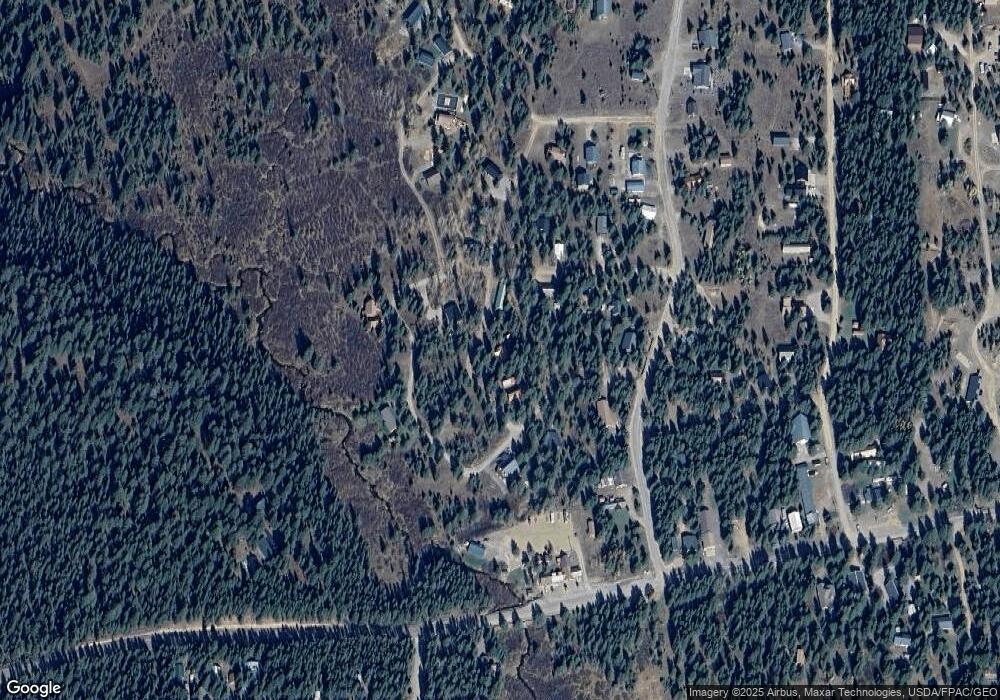
Map
Nearby Homes
- 4069 Yale Creek Rd
- TBD S Fox Cir
- 4088 Yale Creek Rd
- TBD Remington Dr
- 4084 Winchester Rd
- 4088 Winchester Rd
- 3521 Browning Rd
- 4100 Yale Creek Rd
- 3541 Browning Rd
- 4031 Pawnee Rd
- 3555 Yale-Kilgore Rd
- 3513 Hotel Creek Rd
- 4047 Kickapoo Cir
- 4024 Choctaw Rd
- 4016 Aiden Ct
- 3568 S Beaver Springs Rd
- 4149 Beaver Springs Rd
- 4147 Pine Crest Dr
- 3532 Pine Cone Dr
- 3994 John Rd