4070 Wise Dr Rootstown, OH 44272
Estimated Value: $196,474 - $279,000
4
Beds
2
Baths
1,512
Sq Ft
$154/Sq Ft
Est. Value
About This Home
This home is located at 4070 Wise Dr, Rootstown, OH 44272 and is currently estimated at $232,119, approximately $153 per square foot. 4070 Wise Dr is a home located in Portage County with nearby schools including Rootstown Middle School - Schnee Building and Rootstown High School.
Ownership History
Date
Name
Owned For
Owner Type
Purchase Details
Closed on
Nov 22, 2021
Sold by
Davis Raymond G and Davis Arlene J
Bought by
Nichols Eric P and Nichols Ryan W
Current Estimated Value
Home Financials for this Owner
Home Financials are based on the most recent Mortgage that was taken out on this home.
Original Mortgage
$120,000
Outstanding Balance
$110,051
Interest Rate
3.05%
Mortgage Type
New Conventional
Estimated Equity
$122,068
Purchase Details
Closed on
Jul 29, 1987
Bought by
Davis Raymond G
Create a Home Valuation Report for This Property
The Home Valuation Report is an in-depth analysis detailing your home's value as well as a comparison with similar homes in the area
Purchase History
| Date | Buyer | Sale Price | Title Company |
|---|---|---|---|
| Nichols Eric P | $160,000 | Ohio Real Title | |
| Davis Raymond G | $60,000 | -- |
Source: Public Records
Mortgage History
| Date | Status | Borrower | Loan Amount |
|---|---|---|---|
| Open | Nichols Eric P | $120,000 |
Source: Public Records
Tax History
| Year | Tax Paid | Tax Assessment Tax Assessment Total Assessment is a certain percentage of the fair market value that is determined by local assessors to be the total taxable value of land and additions on the property. | Land | Improvement |
|---|---|---|---|---|
| 2024 | $2,730 | $65,140 | $8,720 | $56,420 |
| 2023 | $2,164 | $45,470 | $7,630 | $37,840 |
| 2022 | $2,117 | $45,470 | $7,630 | $37,840 |
| 2021 | $2,643 | $45,470 | $7,630 | $37,840 |
| 2020 | $2,011 | $39,340 | $7,280 | $32,060 |
| 2019 | $1,921 | $39,340 | $7,280 | $32,060 |
| 2018 | $1,899 | $36,790 | $10,360 | $26,430 |
| 2017 | $1,899 | $36,790 | $10,360 | $26,430 |
| 2016 | $1,832 | $36,790 | $10,360 | $26,430 |
| 2015 | $1,853 | $36,790 | $10,360 | $26,430 |
| 2014 | $1,887 | $36,790 | $10,360 | $26,430 |
| 2013 | $1,874 | $36,790 | $10,360 | $26,430 |
Source: Public Records
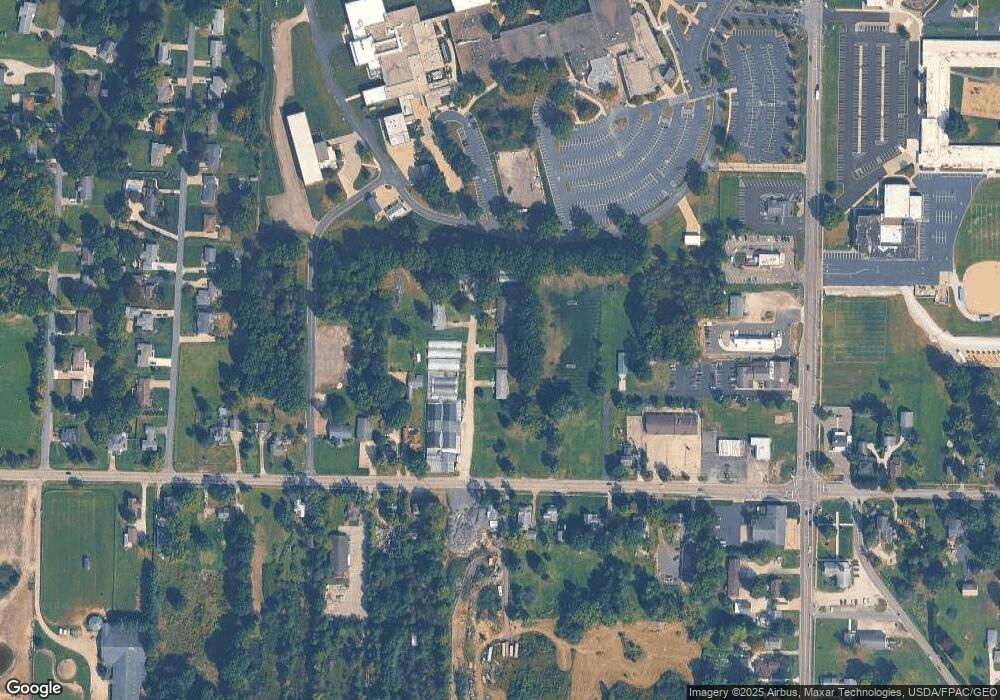
Map
Nearby Homes
- 3689 Cherry Hill
- V/L 2 Lynn Rd
- V/L Lynn Rd
- 0 Lynn Rd Unit 5110102
- 4415 Farmette Dr
- 4691 Scenic Dr
- sub lot Lane Ave
- 0 New Milford Rd Unit 11489599
- 0 New Milford Rd Unit 5108183
- 4225 Hattrick Rd
- 4140 Sandy Lake Rd
- 3637 Old Forge Rd
- 4058 Bayberry Knoll Ln
- 3021 Hartville Rd
- 3136 Bird Dr
- 3925 Summit Rd
- 694 Summit Rd
- 1042 Canterbury Way Dr
- 5403 Winding Creek Dr
- 668 Westbrook Ct
- 4070 Wise Dr Unit 72
- 4058 Wise Dr
- 4085 Wise Dr
- 4080 Wise Dr
- 4091 Tallmadge Rd
- 4099 Tallmadge Rd
- 4061 Tallmadge Rd
- 4111 Tallmadge Rd
- 4105 Tallmadge Rd
- 4090 Tallmadge Rd
- 4123 Tallmadge Rd
- 4098 Tallmadge Rd
- 4037 Tallmadge Rd
- 4078 Tallmadge Rd
- 4053 Tallmadge Rd
- 4129 Tallmadge Rd Unit B
- 4129 Tallmadge Rd
- 4139 Tallmadge Rd
- 4110 Tallmadge Rd
- 4050 Tallmadge Rd