Estimated Value: $801,903 - $876,000
4
Beds
3
Baths
2,520
Sq Ft
$333/Sq Ft
Est. Value
About This Home
This home is located at 40700 NW Vision Ridge Ln, Banks, OR 97106 and is currently estimated at $838,952, approximately $332 per square foot. 40700 NW Vision Ridge Ln is a home located in Washington County with nearby schools including Banks Elementary School, Banks Middle School, and Banks High School.
Ownership History
Date
Name
Owned For
Owner Type
Purchase Details
Closed on
Jan 7, 2020
Sold by
Trump Dean W and Trump Lorraine M
Bought by
Trump Dean W and Trump Lorraine M
Current Estimated Value
Purchase Details
Closed on
Jan 7, 2019
Sold by
Trump Dean W and Trump Lorraine M
Bought by
Trump Dean W and Trump Lorraine M
Purchase Details
Closed on
Oct 24, 2016
Sold by
Cook Thomas Michael and Cook Stephanie Ann
Bought by
Trump Dean W and Trump Lorraine M
Home Financials for this Owner
Home Financials are based on the most recent Mortgage that was taken out on this home.
Original Mortgage
$417,000
Interest Rate
3.5%
Mortgage Type
Adjustable Rate Mortgage/ARM
Purchase Details
Closed on
Nov 4, 2013
Sold by
Cook Thomas Michael and Cook Stephanie Ann
Bought by
Cook Thomas Michael and Cook Stephanie Ann
Home Financials for this Owner
Home Financials are based on the most recent Mortgage that was taken out on this home.
Original Mortgage
$85,000
Interest Rate
4.49%
Mortgage Type
New Conventional
Purchase Details
Closed on
Oct 4, 2013
Sold by
Cook Thomas Michael and Cook Stephanie Ann
Bought by
Cook Thomas Michael and Cook Stephanie Ann
Home Financials for this Owner
Home Financials are based on the most recent Mortgage that was taken out on this home.
Original Mortgage
$85,000
Interest Rate
4.49%
Mortgage Type
New Conventional
Purchase Details
Closed on
Oct 17, 1995
Sold by
Cook Thomas Michael and Cook Stephanie Ann
Bought by
Cook Thomas Michael and Cook Stephanie Ann
Create a Home Valuation Report for This Property
The Home Valuation Report is an in-depth analysis detailing your home's value as well as a comparison with similar homes in the area
Home Values in the Area
Average Home Value in this Area
Purchase History
| Date | Buyer | Sale Price | Title Company |
|---|---|---|---|
| Trump Dean W | -- | Accommodation/Courtesy Recordi | |
| Trump Dean W | -- | None Available | |
| Trump Dean W | $560,000 | Wfg Title | |
| Cook Thomas Michael | -- | None Available | |
| Cook Thomas Michael | -- | First American | |
| Cook Thomas Michael | -- | -- |
Source: Public Records
Mortgage History
| Date | Status | Borrower | Loan Amount |
|---|---|---|---|
| Previous Owner | Trump Dean W | $417,000 | |
| Previous Owner | Cook Thomas Michael | $85,000 |
Source: Public Records
Tax History Compared to Growth
Tax History
| Year | Tax Paid | Tax Assessment Tax Assessment Total Assessment is a certain percentage of the fair market value that is determined by local assessors to be the total taxable value of land and additions on the property. | Land | Improvement |
|---|---|---|---|---|
| 2025 | $3,248 | $231,330 | -- | -- |
| 2024 | $2,892 | $224,760 | -- | -- |
| 2023 | $2,892 | $218,300 | $0 | $0 |
| 2022 | $2,820 | $218,300 | $0 | $0 |
| 2021 | $2,760 | $207,030 | $0 | $0 |
| 2020 | $2,679 | $201,130 | $0 | $0 |
| 2019 | $2,564 | $195,400 | $0 | $0 |
| 2018 | $2,499 | $189,840 | $0 | $0 |
| 2017 | $2,384 | $184,440 | $0 | $0 |
| 2016 | $2,359 | $179,190 | $0 | $0 |
| 2015 | $2,246 | $174,100 | $0 | $0 |
| 2014 | $2,214 | $169,160 | $0 | $0 |
Source: Public Records
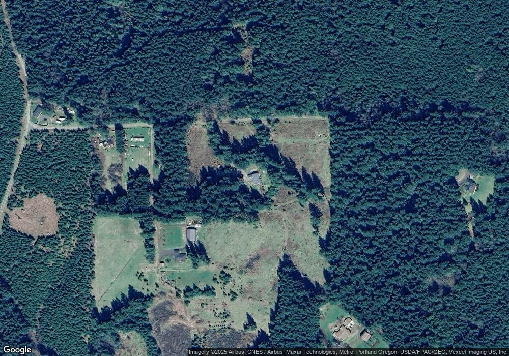
Map
Nearby Homes
- 22001 NW Sellers Rd
- 21076 NW Green Mountain Rd
- 0 NW Dairy Creek Rd
- 39777 NW Murtaugh Rd
- 23505 NW Dairy Creek Rd
- 0 NW Sky Ranch Rd
- 24111 NW Meacham Rd
- 40811 NW Linklater Rd
- 0 NW Green Mountain Rd Unit 1 23320324
- 0 NW Green Mountain Rd Unit 24253646
- 24344 NW Meacham Rd
- 0 NW Lodge Rd
- 36303 NW 3 Cedars Ln
- 20345 NW Murphy Rd
- 22500 NW Pihl Rd
- 0 NW Ranch Dr
- 20055 NW Pihl Rd
- 20270 NW Pihl Rd
- 25308 NW Mountain Dr
- 45539 NW Mead Way