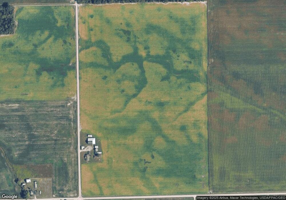
4071 N Blissfield Hwy Britton, MI 49229
Estimated Value: $229,000 - $492,000
--
Bed
--
Bath
1,960
Sq Ft
$171/Sq Ft
Est. Value
About This Home
This home is located at 4071 N Blissfield Hwy, Britton, MI 49229 and is currently estimated at $335,570, approximately $171 per square foot. 4071 N Blissfield Hwy is a home with nearby schools including Britton-Macon Area School.
Ownership History
Date
Name
Owned For
Owner Type
Purchase Details
Closed on
Apr 28, 2015
Sold by
Tiede Carl G and Tiede Lucille A
Bought by
Wilkin Douglas C and Wilkin Linda A
Current Estimated Value
Home Financials for this Owner
Home Financials are based on the most recent Mortgage that was taken out on this home.
Original Mortgage
$201,895
Interest Rate
3.77%
Mortgage Type
Future Advance Clause Open End Mortgage
Purchase Details
Closed on
Jan 15, 2010
Sold by
Teague Graham A
Bought by
Tiede Carl G and Tiede Lucille A
Create a Home Valuation Report for This Property
The Home Valuation Report is an in-depth analysis detailing your home's value as well as a comparison with similar homes in the area
Home Values in the Area
Average Home Value in this Area
Purchase History
| Date | Buyer | Sale Price | Title Company |
|---|---|---|---|
| Wilkin Douglas C | $198,660 | None Available | |
| Tiede Carl G | $187,800 | Tricor Title Insurance Co |
Source: Public Records
Mortgage History
| Date | Status | Borrower | Loan Amount |
|---|---|---|---|
| Closed | Wilkin Douglas C | $201,895 |
Source: Public Records
Tax History Compared to Growth
Tax History
| Year | Tax Paid | Tax Assessment Tax Assessment Total Assessment is a certain percentage of the fair market value that is determined by local assessors to be the total taxable value of land and additions on the property. | Land | Improvement |
|---|---|---|---|---|
| 2025 | $4,937 | $101,500 | $0 | $0 |
| 2024 | $1,165 | $101,200 | $0 | $0 |
| 2022 | $713 | $84,000 | $0 | $0 |
| 2021 | $1,926 | $80,600 | $0 | $0 |
| 2020 | $1,897 | $73,100 | $0 | $0 |
| 2019 | $114,187 | $60,300 | $0 | $0 |
| 2018 | $1,865 | $60,329 | $0 | $0 |
| 2017 | $1,792 | $58,417 | $0 | $0 |
| 2016 | $1,648 | $57,560 | $0 | $0 |
Source: Public Records
Map
Nearby Homes
- 8631 Holloway Rd
- 4796 Waynick Dr
- 9485 Garno Rd
- 134 College Ave
- 257 W Chicago Blvd
- 7957 E Monroe Rd
- 3125 N Rogers Hwy
- 298 E Chicago Blvd
- 6392 Mitchell Rd
- 330 N Main St
- 379 N Main St
- 3198 Leeomi Dr
- 798 War Bonnet Dr
- 796 War Bonnet Dr
- 797 War Bonnet Dr
- 799 War Bonnet Dr
- Lot 9 Crestone
- 3650 Sutton Rd
- 700 E Russell Rd
- 10603 Milwaukee Rd
- 7961 Sutton Rd
- 7912 Sutton Rd
- 8181 Sutton Rd
- 7761 Sutton Rd
- 4000 N Blissfield Hwy Unit BLK
- 4000 N Blissfield Hwy Unit BLK
- 4000 N Blissfield Hwy Unit BLK
- 4000 N Blissfield Hwy
- 7677 Sutton Rd
- 8373 Sutton Rd Unit 8000 Blk Sutton Rd.
- 4380 N Blissfield Hwy
- 4475 N Blissfield Hwy
- 4655 N Blissfield Hwy
- 8736 Sutton Rd
- 0 Sutton Rd
- 8555 Sutton Rd
- 7493 Sutton Rd
- 4600 N Blissfield Hwy
- 8035 Pocklington Rd
- 7000 Sutton Rd Unit BLK
