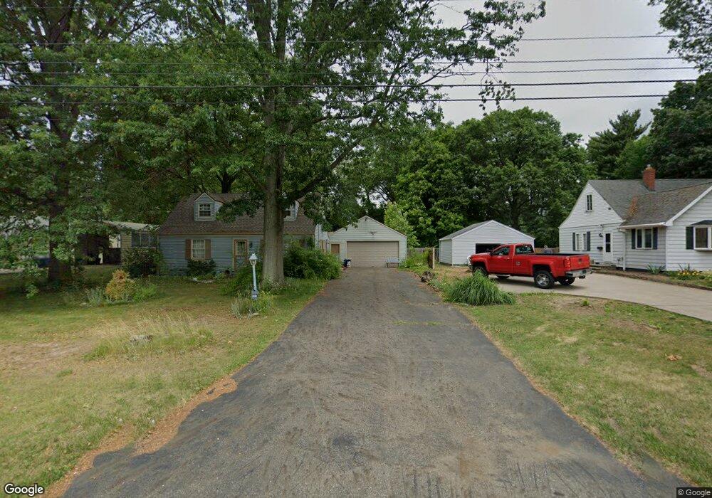
4071 Summit Rd Ravenna, OH 44266
Estimated Value: $193,940 - $262,000
4
Beds
2
Baths
1,426
Sq Ft
$159/Sq Ft
Est. Value
About This Home
This home is located at 4071 Summit Rd, Ravenna, OH 44266 and is currently estimated at $227,235, approximately $159 per square foot. 4071 Summit Rd is a home located in Portage County with nearby schools including Willyard Elementary School, West Park Elementary School, and Brown Middle School.
Ownership History
Date
Name
Owned For
Owner Type
Purchase Details
Closed on
Sep 27, 2001
Sold by
Edwards Daniel H and Edwards Mary E
Bought by
Pugh Terry L and Pugh Carol L
Current Estimated Value
Home Financials for this Owner
Home Financials are based on the most recent Mortgage that was taken out on this home.
Original Mortgage
$96,425
Outstanding Balance
$37,965
Interest Rate
6.97%
Mortgage Type
FHA
Estimated Equity
$189,270
Purchase Details
Closed on
Jun 26, 1995
Sold by
Chervenak Keith A
Bought by
Edwards Daniel H and Edwards Mary E
Home Financials for this Owner
Home Financials are based on the most recent Mortgage that was taken out on this home.
Original Mortgage
$84,800
Interest Rate
7.9%
Mortgage Type
New Conventional
Create a Home Valuation Report for This Property
The Home Valuation Report is an in-depth analysis detailing your home's value as well as a comparison with similar homes in the area
Home Values in the Area
Average Home Value in this Area
Purchase History
| Date | Buyer | Sale Price | Title Company |
|---|---|---|---|
| Pugh Terry L | -- | Advanced/Affiliated Title | |
| Edwards Daniel H | $106,000 | -- |
Source: Public Records
Mortgage History
| Date | Status | Borrower | Loan Amount |
|---|---|---|---|
| Open | Pugh Terry L | $96,425 | |
| Closed | Edwards Daniel H | $84,800 |
Source: Public Records
Tax History
| Year | Tax Paid | Tax Assessment Tax Assessment Total Assessment is a certain percentage of the fair market value that is determined by local assessors to be the total taxable value of land and additions on the property. | Land | Improvement |
|---|---|---|---|---|
| 2024 | $3,237 | $59,780 | $7,070 | $52,710 |
| 2023 | $2,592 | $47,080 | $7,560 | $39,520 |
| 2022 | $2,993 | $47,080 | $7,560 | $39,520 |
| 2021 | $2,558 | $47,080 | $7,560 | $39,520 |
| 2020 | $2,392 | $38,680 | $7,560 | $31,120 |
| 2019 | $2,533 | $38,680 | $7,560 | $31,120 |
| 2017 | $1,853 | $30,310 | $7,560 | $22,750 |
| 2016 | $1,696 | $30,310 | $7,560 | $22,750 |
Source: Public Records
Map
Nearby Homes
- 3925 Summit Rd
- 4058 Bayberry Knoll Ln
- 694 Summit Rd
- 1065 Shadowlawn Dr
- 1033 Sunnywood Ln
- 668 Westbrook Ct
- 534 Ohio Ave
- 661 Mill Rd
- 644 Mill Rd
- 424 S Sycamore St
- 163 Van Buren Ave
- 665 Crown Ave
- 5403 Winding Creek Dr
- 664 Crown Ave
- 451 Liberty St
- sub lot Lane Ave
- 241 Myrtle St
- 869 W Spruce Ave
- 420 Woodland St
- 210 Madison St
Your Personal Tour Guide
Ask me questions while you tour the home.