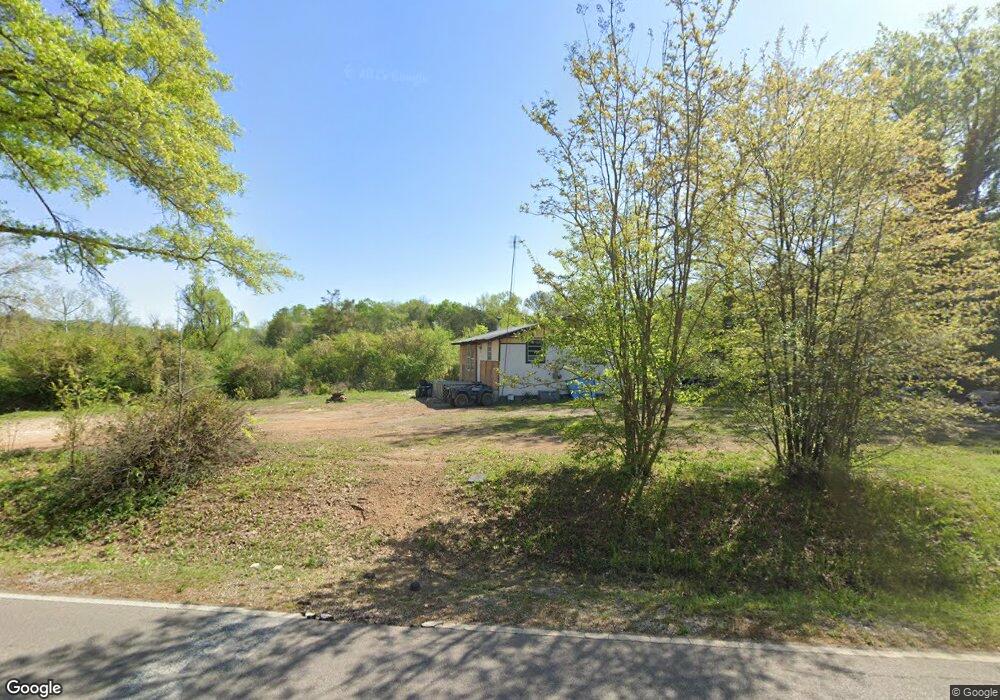
4072 Double Bridge Rd Steele, AL 35987
Estimated Value: $61,000 - $202,000
3
Beds
1
Bath
1,216
Sq Ft
$104/Sq Ft
Est. Value
About This Home
This home is located at 4072 Double Bridge Rd, Steele, AL 35987 and is currently estimated at $125,943, approximately $103 per square foot. 4072 Double Bridge Rd is a home located in St. Clair County with nearby schools including Ashville Elementary School, Ashville Middle School, and Ashville High School.
Ownership History
Date
Name
Owned For
Owner Type
Purchase Details
Closed on
Oct 4, 2011
Sold by
Smith William L and Smith Laura L
Bought by
Golden Jimmy R and Vowell Carolyn M
Current Estimated Value
Home Financials for this Owner
Home Financials are based on the most recent Mortgage that was taken out on this home.
Original Mortgage
$25,000
Outstanding Balance
$17,133
Interest Rate
4.2%
Mortgage Type
Purchase Money Mortgage
Estimated Equity
$108,810
Purchase Details
Closed on
Feb 21, 2006
Sold by
Coker Virginia Clowdus and Coker Claude
Bought by
Smith William L and Smith Laura L
Create a Home Valuation Report for This Property
The Home Valuation Report is an in-depth analysis detailing your home's value as well as a comparison with similar homes in the area
Home Values in the Area
Average Home Value in this Area
Purchase History
| Date | Buyer | Sale Price | Title Company |
|---|---|---|---|
| Golden Jimmy R | $25,000 | -- | |
| Smith William L | $25,000 | None Available |
Source: Public Records
Mortgage History
| Date | Status | Borrower | Loan Amount |
|---|---|---|---|
| Open | Golden Jimmy R | $25,000 |
Source: Public Records
Tax History
| Year | Tax Paid | Tax Assessment Tax Assessment Total Assessment is a certain percentage of the fair market value that is determined by local assessors to be the total taxable value of land and additions on the property. | Land | Improvement |
|---|---|---|---|---|
| 2024 | $88 | $8,746 | $4,440 | $4,306 |
| 2023 | $77 | $8,746 | $4,440 | $4,306 |
| 2022 | $53 | $3,084 | $1,620 | $1,464 |
| 2021 | $54 | $3,083 | $1,619 | $1,464 |
| 2020 | $54 | $3,074 | $1,610 | $1,464 |
| 2019 | $54 | $3,074 | $1,610 | $1,464 |
| 2018 | $43 | $2,640 | $0 | $0 |
| 2017 | $42 | $2,640 | $0 | $0 |
| 2016 | $43 | $2,640 | $0 | $0 |
| 2015 | $42 | $2,640 | $0 | $0 |
| 2014 | $42 | $2,620 | $0 | $0 |
Source: Public Records
Map
Nearby Homes
- 140 Aubra Rd
- 3074 Beason Cove Rd
- 0 Highway 11 Unit 21427361
- 0 Legion Dr Unit 893391
- 0 Legion Dr Unit 19987726
- 15 Dorough St
- 61 Hartsfield Dr
- 145 Cross Creek Ln
- 0 County Road 42 Unit 26157833
- 0 County Road 42 Unit 21442134
- 32960 US Highway 411
- 36240 US Hwy 231
- 0 Sweatt Rd Unit 21415006
- 0 Sumatanga Rd
- 3649 Pope Ave
- 0 US Hwy 231 Unit 21398012
- 0 US Hwy 231 Unit 21438521
- 115 Canoe Dr
- 435 5th St
- 601 Loop Rd
- 4043 Double Bridge Rd
- 22548 Us Highway 11
- 22507 Us Highway 11
- 49 Bethany Ln
- 121 Bethany Ln
- 22462 Us Highway 11
- 30 Brown Hill Rd
- 394 Mcelroy Dr
- 394 Mcelroy Dr
- 394 Mcelroy Dr Unit Tract B
- 41 Freedom Dr
- 22460 Us Highway 11
- 22691 Us Highway 11
- 70 Freedom Dr
- 22382 Us Highway 11
- 76 Brown Hill Rd
- 115 Freedom Dr
- 209 Freedom Dr
- 22715 Us Highway 11
- 22506 Us Highway 11
Your Personal Tour Guide
Ask me questions while you tour the home.