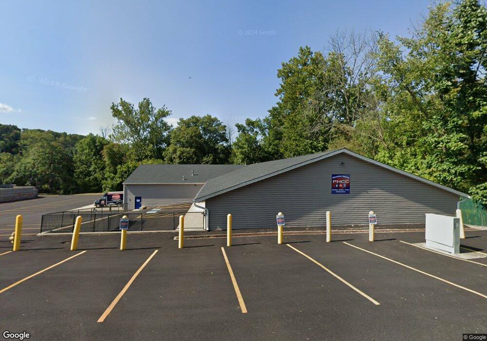
4072 Mount Rd Aston, PA 19014
Estimated Value: $1,225,614
--
Bed
--
Bath
11,568
Sq Ft
$106/Sq Ft
Est. Value
About This Home
This home is located at 4072 Mount Rd, Aston, PA 19014 and is currently estimated at $1,225,614, approximately $105 per square foot. 4072 Mount Rd is a home located in Delaware County.
Ownership History
Date
Name
Owned For
Owner Type
Purchase Details
Closed on
Jun 26, 2017
Sold by
Aston Township Fire Department
Bought by
Philadelphia Suburban Association Of Plu
Current Estimated Value
Home Financials for this Owner
Home Financials are based on the most recent Mortgage that was taken out on this home.
Original Mortgage
$684,000
Outstanding Balance
$146,062
Interest Rate
3.89%
Mortgage Type
Construction
Estimated Equity
$1,079,552
Purchase Details
Closed on
Sep 24, 2015
Sold by
Aston Township Fire Department
Bought by
Aston Township Fire Department
Purchase Details
Closed on
Aug 7, 1980
Bought by
Aston Beechwood Fire Company
Create a Home Valuation Report for This Property
The Home Valuation Report is an in-depth analysis detailing your home's value as well as a comparison with similar homes in the area
Home Values in the Area
Average Home Value in this Area
Purchase History
| Date | Buyer | Sale Price | Title Company |
|---|---|---|---|
| Philadelphia Suburban Association Of Plu | $730,000 | None Available | |
| Aston Township Fire Department | -- | None Available | |
| Aston Beechwood Fire Company | -- | -- |
Source: Public Records
Mortgage History
| Date | Status | Borrower | Loan Amount |
|---|---|---|---|
| Open | Philadelphia Suburban Association Of Plu | $684,000 |
Source: Public Records
Tax History Compared to Growth
Tax History
| Year | Tax Paid | Tax Assessment Tax Assessment Total Assessment is a certain percentage of the fair market value that is determined by local assessors to be the total taxable value of land and additions on the property. | Land | Improvement |
|---|---|---|---|---|
| 2025 | $18,750 | $722,560 | $210,150 | $512,410 |
| 2024 | $18,750 | $722,560 | $210,150 | $512,410 |
| 2023 | $17,909 | $722,560 | $210,150 | $512,410 |
| 2022 | $17,270 | $722,560 | $210,150 | $512,410 |
| 2021 | $26,650 | $722,560 | $210,150 | $512,410 |
| 2020 | $25,872 | $633,480 | $187,630 | $445,850 |
| 2019 | $25,376 | $633,480 | $187,630 | $445,850 |
| 2018 | $24,299 | $633,480 | $0 | $0 |
| 2017 | $0 | $633,480 | $0 | $0 |
| 2016 | $0 | $633,480 | $0 | $0 |
| 2015 | -- | $633,480 | $0 | $0 |
| 2014 | -- | $633,480 | $0 | $0 |
Source: Public Records
Map
Nearby Homes
- 21 Hoag Ln
- 21 Eusden Dr
- 220 Spring Valley Way
- 505 Schick Rd
- 305 Crozerville Rd
- 21 Cathy Ln
- 108 Grace Ln
- 887 Red Hill Rd
- 48 Bishop Dr
- 214 Bishop Dr
- 213 Bishop Dr
- 198 Bishop Dr
- 103 Valleybrook Rd
- 2370 Crestview Ln
- 3 Rolling Heights Ln
- 268 Miley Rd Unit 268
- 216 Park Dr
- 8 Travelo Ln
- 440 Derry Dr Unit 440
- 184 Fifth Ave