4074 Ridge Crest Dr Barnhart, MO 63012
Estimated Value: $511,190 - $615,000
--
Bed
1
Bath
2,670
Sq Ft
$211/Sq Ft
Est. Value
About This Home
This home is located at 4074 Ridge Crest Dr, Barnhart, MO 63012 and is currently estimated at $563,095, approximately $210 per square foot. 4074 Ridge Crest Dr is a home with nearby schools including Antonia Elementary School, Antonia Middle School, and Seckman Senior High School.
Ownership History
Date
Name
Owned For
Owner Type
Purchase Details
Closed on
Aug 3, 2005
Sold by
Ragsdale Construction & Development Inc
Bought by
Mccoy Michael and Mc Coy Denise
Current Estimated Value
Home Financials for this Owner
Home Financials are based on the most recent Mortgage that was taken out on this home.
Original Mortgage
$354,900
Outstanding Balance
$186,314
Interest Rate
5.65%
Mortgage Type
Fannie Mae Freddie Mac
Estimated Equity
$376,781
Create a Home Valuation Report for This Property
The Home Valuation Report is an in-depth analysis detailing your home's value as well as a comparison with similar homes in the area
Home Values in the Area
Average Home Value in this Area
Purchase History
| Date | Buyer | Sale Price | Title Company |
|---|---|---|---|
| Mccoy Michael | -- | -- |
Source: Public Records
Mortgage History
| Date | Status | Borrower | Loan Amount |
|---|---|---|---|
| Open | Mccoy Michael | $354,900 |
Source: Public Records
Tax History Compared to Growth
Tax History
| Year | Tax Paid | Tax Assessment Tax Assessment Total Assessment is a certain percentage of the fair market value that is determined by local assessors to be the total taxable value of land and additions on the property. | Land | Improvement |
|---|---|---|---|---|
| 2025 | $4,434 | $69,800 | $7,000 | $62,800 |
| 2024 | $4,434 | $65,100 | $7,000 | $58,100 |
| 2023 | $4,434 | $65,100 | $7,000 | $58,100 |
| 2022 | $4,430 | $65,100 | $7,000 | $58,100 |
| 2021 | $4,432 | $65,100 | $7,000 | $58,100 |
| 2020 | $4,225 | $58,000 | $6,100 | $51,900 |
| 2019 | $4,223 | $58,000 | $6,100 | $51,900 |
| 2018 | $4,106 | $56,900 | $6,100 | $50,800 |
| 2017 | $3,968 | $56,900 | $6,100 | $50,800 |
| 2016 | $3,707 | $53,100 | $6,000 | $47,100 |
| 2015 | $3,665 | $53,100 | $6,000 | $47,100 |
| 2013 | $3,665 | $52,200 | $6,000 | $46,200 |
Source: Public Records
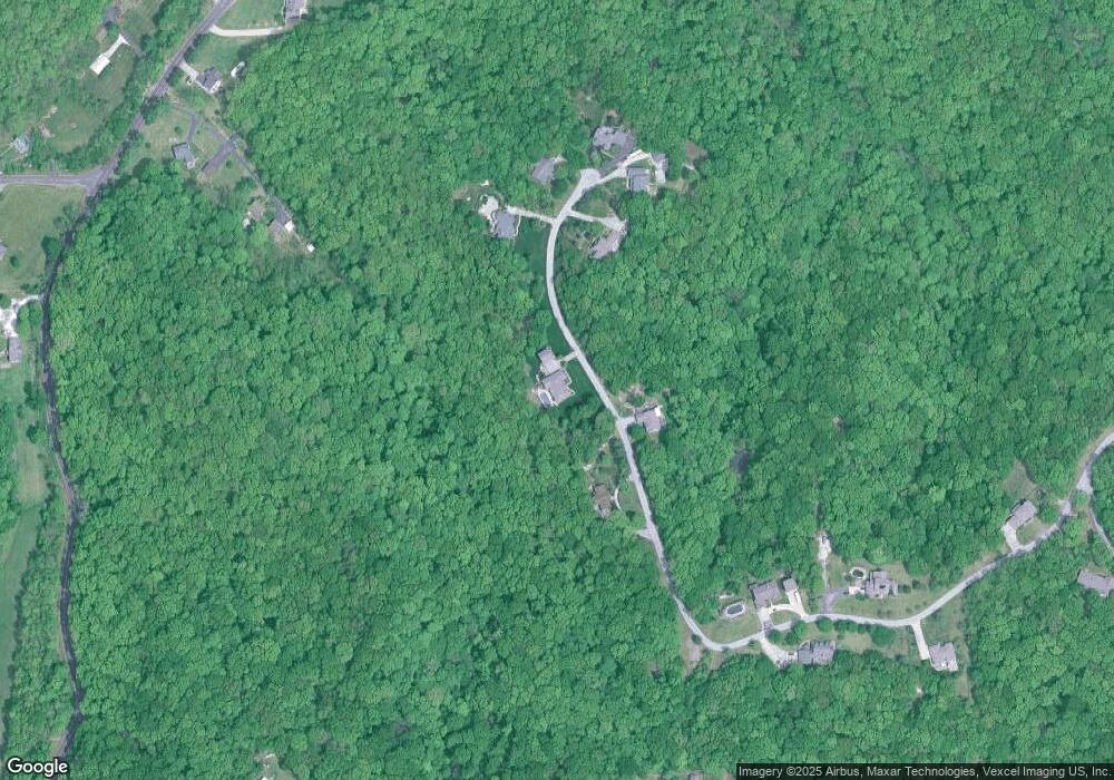
Map
Nearby Homes
- 4323 Old Trail
- 3897 Upper Moss Hollow Rd
- 4598 Schenk Rd
- 7577 Sheppard Dr
- 4844 Walmar Rd
- 4043 E Shore Dr
- 3456 Wedde Rd
- 0 Wedde Rd
- 8819 Helujon Acres Dr
- 0 Wooded Acres
- 3544 Antonia Woods Dr
- 8638 W Shore Dr
- 8631 W Shore Dr
- 0 Old Route 21 Unit MAR25007339
- 6748 Old State Route 21
- 3152 Alpine Hills Dr
- 6606 Old Lemay Ferry Rd
- 112 Dale Dr
- 8719 Old State Route 21
- 6420 Glennsway Dr
- 4061 Ridge Crest Dr
- 4079 Ridge Crest Dr
- 4082 Ridge Crest Dr
- 4048 Ridge Crest Dr
- 4086 Ridge Crest Dr
- 4087 Ridge Crest Dr
- 4092 Ridge Crest Dr
- 0 Old Lemay Ferry Rd Unit 90062691
- 7872 Old Lemay Ferry Rd
- 4043 Ridge Crest Dr
- 4030 Ridge Crest Dr
- 4017 Ridge Crest Dr
- 7876 Old Lemay Ferry Rd
- 7860 Old Lemay Ferry Rd
- 7868 Old Lemay Ferry Rd
- 7884 Old Lemay Ferry Rd
- 4291 Old Trail
- 4283 Old Trail
- 4283 Old Trail
- 4299 Old Trail