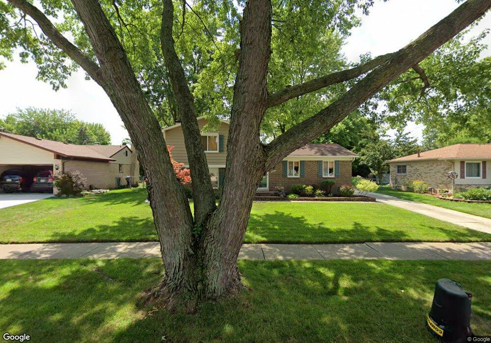
40757 Michael St Clinton Township, MI 48038
Estimated Value: $272,720 - $332,000
Studio
1
Bath
1,615
Sq Ft
$193/Sq Ft
Est. Value
About This Home
This home is located at 40757 Michael St, Clinton Township, MI 48038 and is currently estimated at $312,180, approximately $193 per square foot. 40757 Michael St is a home located in Macomb County with nearby schools including Clinton Valley Elementary School, Algonquin Middle School, and Chippewa Valley High School.
Ownership History
Date
Name
Owned For
Owner Type
Purchase Details
Closed on
Feb 12, 2022
Sold by
Bastuba Brandon L and Bastuba Lisa A
Bought by
Bastuba Lisa A and Bastuba Brandon L
Current Estimated Value
Home Financials for this Owner
Home Financials are based on the most recent Mortgage that was taken out on this home.
Original Mortgage
$182,552
Outstanding Balance
$169,513
Interest Rate
3.55%
Mortgage Type
New Conventional
Estimated Equity
$142,667
Purchase Details
Closed on
Oct 7, 2019
Sold by
Cieglo Cameron and Bastuba Brandon
Bought by
Bastuba Brandon and Bastuba Lisa
Home Financials for this Owner
Home Financials are based on the most recent Mortgage that was taken out on this home.
Original Mortgage
$140,700
Interest Rate
3.5%
Mortgage Type
New Conventional
Purchase Details
Closed on
Oct 18, 2005
Sold by
Bastuba Philip and Bastuba Frances
Bought by
Cielo Cameron and Bastuba Brandon
Create a Home Valuation Report for This Property
The Home Valuation Report is an in-depth analysis detailing your home's value as well as a comparison with similar homes in the area
Home Values in the Area
Average Home Value in this Area
Purchase History
| Date | Buyer | Sale Price | Title Company |
|---|---|---|---|
| Bastuba Lisa A | -- | Postic Lionel J | |
| Bastuba Brandon | -- | Amrock Inc | |
| Cielo Cameron | $175,000 | Metropolitan Title Company |
Source: Public Records
Mortgage History
| Date | Status | Borrower | Loan Amount |
|---|---|---|---|
| Open | Bastuba Lisa A | $182,552 | |
| Previous Owner | Bastuba Brandon | $140,700 |
Source: Public Records
Tax History
| Year | Tax Paid | Tax Assessment Tax Assessment Total Assessment is a certain percentage of the fair market value that is determined by local assessors to be the total taxable value of land and additions on the property. | Land | Improvement |
|---|---|---|---|---|
| 2025 | $2,512 | $144,100 | $0 | $0 |
| 2024 | $34 | $132,900 | $0 | $0 |
| 2023 | $3,381 | $118,400 | $0 | $0 |
| 2022 | $4,506 | $112,300 | $0 | $0 |
| 2021 | $5,184 | $103,400 | $0 | $0 |
| 2020 | $2,975 | $98,700 | $0 | $0 |
| 2019 | $4,143 | $92,500 | $0 | $0 |
| 2018 | $4,320 | $87,100 | $0 | $0 |
| 2017 | $4,010 | $81,000 | $16,900 | $64,100 |
| 2016 | $3,695 | $81,000 | $0 | $0 |
| 2015 | -- | $75,400 | $0 | $0 |
| 2014 | -- | $68,900 | $0 | $0 |
| 2011 | -- | $68,400 | $18,500 | $49,900 |
Source: Public Records
Map
Nearby Homes
- 19202 Edward Ct
- 19586 Larry Ct
- 41058 W Rosewood Dr Unit 64
- 19060 Fortuna Dr S Unit 40
- 19750 Rosin Dr
- 19377 Linwood Dr Unit 82
- 41296 Fortuna Dr E
- 41321 Chestnut Dr
- 41201 Whispering Oaks Dr Unit 17
- 19804 Woodview Dr
- 19648 Stanley Ct
- 18980 Lauren Dr Unit 72
- 41196 Dortmund Dr
- 20330 Rambling Dr
- 20102 Great Oak Cir S Unit 174
- 20080 Levee Ct
- 42002 Coulon Dr
- 41985 Dorchester Ct
- 41816 Greenwood Ln
- 0 Harrington St Unit 50193034
- 40773 Michael St
- 40741 Michael St
- 40725 Michael St
- 40789 Michael St
- 19317 Todd Dr
- 19351 Todd Dr
- 19289 Todd Dr
- 40709 Michael St
- 40782 Michael St
- 40805 Michael St
- 40756 Michael St
- 40742 Michael St
- 40648 William Dr
- 19263 Todd Dr
- 40825 Michael St
- 40708 Michael St
- 40804 Michael St
- 19237 Todd Dr
- 40677 Michael St
- 40632 William Dr
Your Personal Tour Guide
Ask me questions while you tour the home.