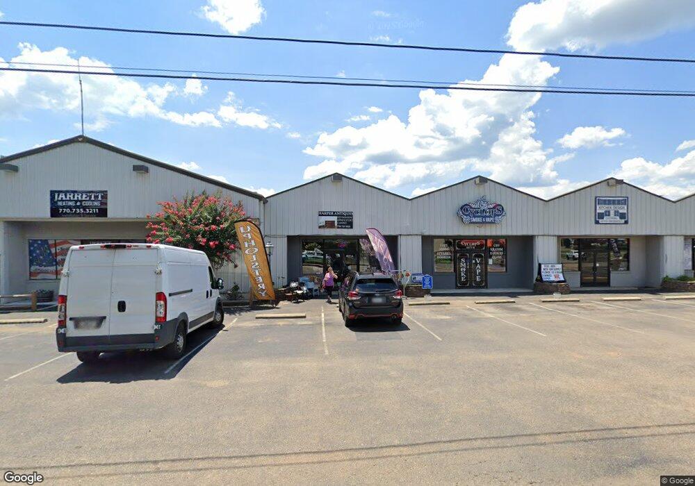
4077 Camp Rd Unit A & B Jasper, GA 30143
Estimated Value: $756,688
--
Bed
--
Bath
12,202
Sq Ft
$62/Sq Ft
Est. Value
About This Home
This home is located at 4077 Camp Rd Unit A & B, Jasper, GA 30143 and is currently estimated at $756,688, approximately $62 per square foot. 4077 Camp Rd Unit A & B is a home located in Pickens County with nearby schools including Hill City Elementary School, Pickens County Middle School, and Pickens County High School.
Ownership History
Date
Name
Owned For
Owner Type
Purchase Details
Closed on
Oct 14, 2013
Sold by
Rref Bb Sbl Ga Llc
Bought by
Shops At Camp Road Llc
Current Estimated Value
Purchase Details
Closed on
Dec 4, 2012
Sold by
Camp Road Enterprises Llc
Bought by
Rref Bb Sbl Ga Llc
Purchase Details
Closed on
Dec 5, 2006
Sold by
Sharp Mountain Realty Llc
Bought by
Stevenson Mack
Purchase Details
Closed on
Mar 24, 1994
Sold by
Robinson Bertta B
Bought by
Byrd Tony
Purchase Details
Closed on
Jul 17, 1984
Sold by
Arp Windom and Arp Della
Bought by
Robinson Bertta B
Create a Home Valuation Report for This Property
The Home Valuation Report is an in-depth analysis detailing your home's value as well as a comparison with similar homes in the area
Home Values in the Area
Average Home Value in this Area
Purchase History
| Date | Buyer | Sale Price | Title Company |
|---|---|---|---|
| Shops At Camp Road Llc | $280,000 | -- | |
| Rref Bb Sbl Ga Llc | -- | -- | |
| Stevenson Mack | $10,000 | -- | |
| Byrd Tony | $75,000 | -- | |
| Robinson Bertta B | $4,000 | -- |
Source: Public Records
Tax History Compared to Growth
Tax History
| Year | Tax Paid | Tax Assessment Tax Assessment Total Assessment is a certain percentage of the fair market value that is determined by local assessors to be the total taxable value of land and additions on the property. | Land | Improvement |
|---|---|---|---|---|
| 2024 | $5,638 | $284,890 | $170,000 | $114,890 |
| 2023 | $7,136 | $360,581 | $200,000 | $160,581 |
| 2022 | $4,208 | $206,890 | $126,000 | $80,890 |
| 2021 | $4,508 | $206,890 | $126,000 | $80,890 |
| 2020 | $4,643 | $206,890 | $126,000 | $80,890 |
| 2019 | $5,336 | $232,408 | $126,000 | $106,408 |
| 2018 | $5,386 | $232,408 | $126,000 | $106,408 |
| 2017 | $5,474 | $232,408 | $126,000 | $106,408 |
Source: Public Records
Map
Nearby Homes
- 2 Summit View Ln
- 2 Summit View Ln Unit 2
- 6 Summit View Ln
- 3 Summit View Ln Unit 3
- 209 Hyde Rd
- 491 Hyde Rd
- 91 Clarence St
- 2574 Highway 53 W
- 531 Philadelphia Dr Unit 18
- 531 Philadelphia Dr
- 438 Southbrook Dr
- 100 AC Mockingbird Ln
- 57 Mountain View Cir
- 1169 Upper Salem Church Rd
- 4 Salem Church Rd
- 2 Salem Church Rd
- 10 Kane Dr
- 304 Myrtle St
- 9 Summit St Unit 9
- 251 Deerberry Dr
- 4077 Camp Rd
- 4037 Camp Rd
- 4068 Camp Rd
- 0 Luke Carver Dr Unit 7615022
- 0 Luke Carver Dr Unit 7435644
- 0 Luke Carver Dr Unit 7435537
- 0 Luke Carver Dr Unit 7115413
- 0 Luke Carver Dr Unit 7164483
- 0 Luke Carver Dr Unit 9076638
- 1909 Highway 53 W
- 100 Luke Carver Dr
- 4030 Camp Rd
- 1860 Highway 53 W
- 0 Nickel Rd
- 10220 Highway 53 W
- 10190 Highway 53 W
- 6536 Highway 53 W
- 10993 Highway 53 W
- 7578 Highway 53 W
- 11380 Highway 53 W