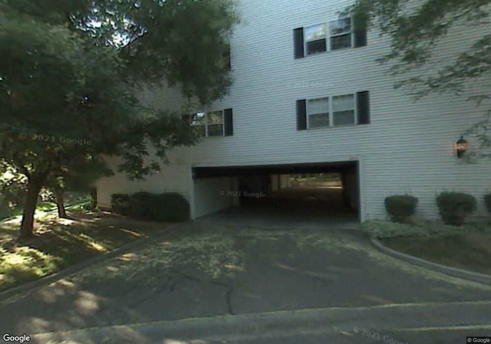
4077 S 685 E Unit G Salt Lake City, UT 84107
Estimated Value: $362,000 - $396,000
2
Beds
2
Baths
1,320
Sq Ft
$291/Sq Ft
Est. Value
About This Home
This home is located at 4077 S 685 E Unit G, Salt Lake City, UT 84107 and is currently estimated at $384,180, approximately $291 per square foot. 4077 S 685 E Unit G is a home located in Salt Lake County with nearby schools including James E Moss Elementary School, Bonneville Junior High School, and Cottonwood High School.
Ownership History
Date
Name
Owned For
Owner Type
Purchase Details
Closed on
May 6, 2002
Sold by
Evans Helen M
Bought by
Rearick Robert Preston and Rearick Rae L
Current Estimated Value
Home Financials for this Owner
Home Financials are based on the most recent Mortgage that was taken out on this home.
Original Mortgage
$132,600
Outstanding Balance
$56,975
Interest Rate
7.18%
Mortgage Type
VA
Estimated Equity
$327,205
Create a Home Valuation Report for This Property
The Home Valuation Report is an in-depth analysis detailing your home's value as well as a comparison with similar homes in the area
Home Values in the Area
Average Home Value in this Area
Purchase History
| Date | Buyer | Sale Price | Title Company |
|---|---|---|---|
| Rearick Robert Preston | -- | Cottonwood Title Ins Agency |
Source: Public Records
Mortgage History
| Date | Status | Borrower | Loan Amount |
|---|---|---|---|
| Open | Rearick Robert Preston | $132,600 |
Source: Public Records
Tax History Compared to Growth
Tax History
| Year | Tax Paid | Tax Assessment Tax Assessment Total Assessment is a certain percentage of the fair market value that is determined by local assessors to be the total taxable value of land and additions on the property. | Land | Improvement |
|---|---|---|---|---|
| 2025 | $2,127 | $333,300 | $100,000 | $233,300 |
| 2024 | $2,127 | $331,200 | $99,300 | $231,900 |
| 2023 | $2,109 | $316,700 | $95,000 | $221,700 |
| 2022 | $2,041 | $308,700 | $92,600 | $216,100 |
| 2021 | $1,895 | $248,400 | $74,500 | $173,900 |
| 2020 | $1,803 | $223,500 | $67,000 | $156,500 |
| 2019 | $1,676 | $202,800 | $60,800 | $142,000 |
| 2018 | $1,676 | $195,300 | $58,600 | $136,700 |
| 2017 | $1,449 | $176,700 | $53,000 | $123,700 |
| 2016 | $1,357 | $167,400 | $50,200 | $117,200 |
| 2015 | $1,381 | $159,400 | $47,800 | $111,600 |
| 2014 | $1,397 | $157,800 | $47,300 | $110,500 |
Source: Public Records
Map
Nearby Homes
- 657 E 4065 S Unit C
- 4040 S 685 E Unit F
- 4040 S 685 E Unit F
- 651 E 4025 S Unit G
- 779 E 4070 S
- 689 E 4149 S
- 4178 S 650 E
- 830 E 3990 S Unit D
- 4175 S 590 E
- 825 E 3990 S Unit C
- 3965 S 805 E Unit B
- 3970 S 840 E Unit A
- 3938 S 805 E Unit A
- 3924 S 805 E Unit B
- 832 E 4170 S
- 834 E 4170 S
- 602 E Betsey Cove Unit 20
- 599 E Betsey Cove Unit 23
- 568 E Dolores Cove Unit 4
- Type B3 Plan at The Monroe - theMONROE
- 4077 S 685 E Unit H
- 4077 S 685 E Unit F
- 4077 S 685 E Unit E
- 4079 S 685 E Unit B
- 4079 S 685 E Unit D
- 4079 S 685 E Unit C
- 4079 S 685 E Unit A
- 4060 S 685 E Unit C
- 4060 S 685 E Unit D
- 4060 S 685 E Unit B
- 4060 S 685 E Unit A
- 4054 S 685 E Unit G
- 4054 S 685 E Unit E
- 4054 S 685 E Unit F
- 4054 S 685 E Unit H
- 4062 S 685 E Unit E
- 4062 S 685 E Unit H
- 4062 S 685 E Unit F
- 4062 S 685 E Unit G
- 4052 S 685 E Unit B