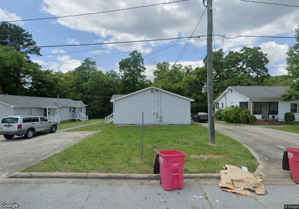
4078 Britt Dr Macon, GA 31204
Estimated Value: $130,000 - $192,000
About This Home
This home is located at 4078 Britt Dr, Macon, GA 31204 and is currently estimated at $159,900, approximately $92 per square foot. 4078 Britt Dr is a home located in Bibb County with nearby schools including Brookdale Elementary School, Howard Middle School, and Howard High School.
Ownership History
We collect this data history from publicly available records. To have your information removed, we recommend requesting removal directly through your county’s website.
Purchase Details
Home Financials for this Owner
Home Financials are based on the most recent Mortgage that was taken out on this home.Purchase Details
Purchase Details
Purchase History
We collect this data history from publicly available records. To have your information removed, we recommend requesting removal directly through your county’s website.
| Date | Buyer | Sale Price | Title Company |
|---|---|---|---|
| $610,000 | -- | ||
| $100,000 | None Available | ||
| $93,500 | -- |
Mortgage History
We collect this data history from publicly available records. To have your information removed, we recommend requesting removal directly through your county’s website.
| Date | Status | Borrower | Loan Amount |
|---|---|---|---|
| Open | $500,000 |
Tax History
We collect this data history from publicly available records. To have your information removed, we recommend requesting removal directly through your county’s website.
| Year | Tax Paid | Tax Assessment Tax Assessment Total Assessment is a certain percentage of the fair market value that is determined by local assessors to be the total taxable value of land and additions on the property. | Land | Improvement |
|---|---|---|---|---|
| 2025 | $1,150 | $46,804 | $1,520 | $45,284 |
| 2024 | $1,100 | $43,321 | $1,520 | $41,801 |
| 2023 | $1,100 | $43,321 | $1,520 | $41,801 |
| 2022 | $1,082 | $31,262 | $2,780 | $28,482 |
| 2021 | $1,135 | $29,873 | $2,363 | $27,510 |
| 2020 | $892 | $22,984 | $1,946 | $21,038 |
| 2019 | $783 | $21,365 | $1,946 | $19,419 |
| 2018 | $1,835 | $24,602 | $1,946 | $22,656 |
| 2017 | $922 | $24,602 | $1,946 | $22,656 |
| 2016 | $851 | $24,602 | $1,946 | $22,656 |
| 2015 | $1,205 | $24,602 | $1,946 | $22,656 |
| 2014 | $1,386 | $24,602 | $1,946 | $22,656 |
Map
- 3750 Avon Rd
- 4035 Villa Ave
- 3940 Grand Ave
- 3928 Grand Ave
- 3760 Vineville Ave
- 3831 Fairmont Ave
- 3975 Fairmont Ave
- 4403 Azalea Dr
- 3850 the Prado
- 3821 Overlook Ave
- 1402 Barrington Place
- 4571 Shadow Lawn Dr
- 4472 Club Trace
- 3823 Lake St
- 3817 Lake St
- 3720 Case St
- 3818 Blossfield Ave
- 3746 Overlook Dr
- 3770 Overlook Dr
- 3687 Overlook Dr
- 4070 Britt Dr
- 4086 Britt Dr
- 4061 Napier Ave
- 3720 Alexander Ave
- 4059 Napier Ave
- 4010 Britt Dr
- 4073 Napier Ave
- 4053 Napier Ave
- 236 Park St
- 246 Park St
- 4049 Napier Ave
- 264 Park St
- 3824 Berkley Dr
- 3812 Berkley Dr
- 3836 Berkley Dr
- 3796 Berkley Dr
- 208 Park St
- 282 Park St
- 3860 Berkley Dr
- 3786 Berkley Dr Unit 302-D12
Ask me questions while you tour the home.