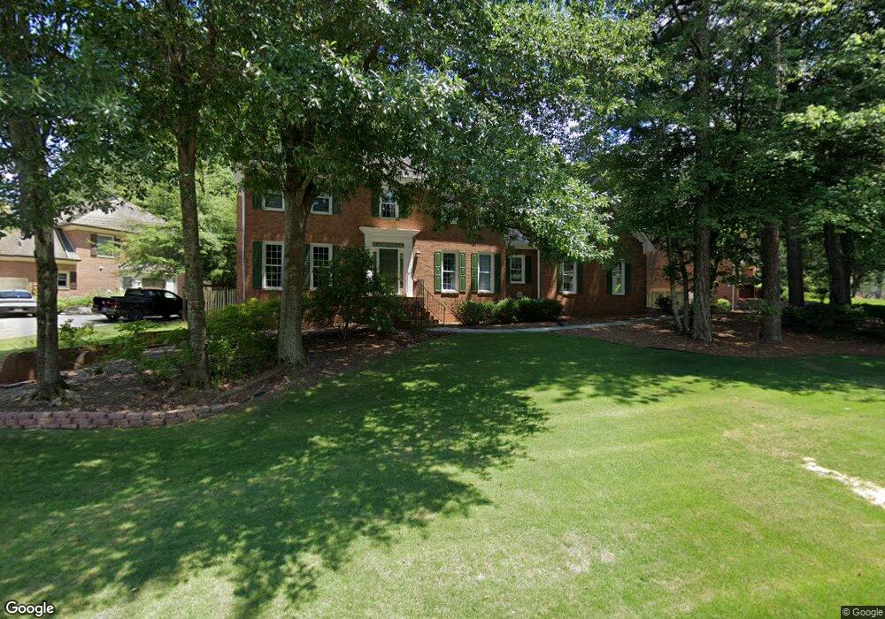
4079 Allenhurst Dr Unit 4 Norcross, GA 30092
Estimated Value: $667,223 - $784,000
4
Beds
3
Baths
3,021
Sq Ft
$243/Sq Ft
Est. Value
About This Home
This home is located at 4079 Allenhurst Dr Unit 4, Norcross, GA 30092 and is currently estimated at $733,806, approximately $242 per square foot. 4079 Allenhurst Dr Unit 4 is a home located in Gwinnett County with nearby schools including Simpson Elementary School, Pinckneyville Middle School, and Norcross High School.
Ownership History
Date
Name
Owned For
Owner Type
Purchase Details
Closed on
Jan 17, 1995
Sold by
Sanders Wilfred H Diana
Bought by
Knowles Barry A Lisa
Current Estimated Value
Home Financials for this Owner
Home Financials are based on the most recent Mortgage that was taken out on this home.
Original Mortgage
$90,000
Interest Rate
9.24%
Create a Home Valuation Report for This Property
The Home Valuation Report is an in-depth analysis detailing your home's value as well as a comparison with similar homes in the area
Home Values in the Area
Average Home Value in this Area
Purchase History
| Date | Buyer | Sale Price | Title Company |
|---|---|---|---|
| Knowles Barry A Lisa | $180,000 | -- |
Source: Public Records
Mortgage History
| Date | Status | Borrower | Loan Amount |
|---|---|---|---|
| Closed | Knowles Barry A Lisa | $90,000 |
Source: Public Records
Tax History Compared to Growth
Tax History
| Year | Tax Paid | Tax Assessment Tax Assessment Total Assessment is a certain percentage of the fair market value that is determined by local assessors to be the total taxable value of land and additions on the property. | Land | Improvement |
|---|---|---|---|---|
| 2025 | $7,134 | $278,920 | $50,160 | $228,760 |
| 2024 | $6,562 | $243,920 | $50,400 | $193,520 |
| 2023 | $6,562 | $258,560 | $44,000 | $214,560 |
| 2022 | $6,306 | $230,920 | $36,000 | $194,920 |
| 2021 | $5,530 | $187,360 | $35,520 | $151,840 |
| 2020 | $5,571 | $187,360 | $35,520 | $151,840 |
| 2019 | $5,124 | $172,480 | $30,000 | $142,480 |
| 2018 | $5,144 | $172,480 | $30,000 | $142,480 |
| 2016 | $4,651 | $151,440 | $24,000 | $127,440 |
| 2015 | $4,693 | $151,440 | $24,000 | $127,440 |
| 2014 | $4,577 | $151,440 | $24,000 | $127,440 |
Source: Public Records
Map
Nearby Homes
- 3962 Gunnin Rd
- 5786 Broxton Cir
- 4053 Spalding Hollow NW
- 4102 Ailey Ct
- 5649 Whitesburg Ct
- 5885 Match Point
- 3922 Glen Meadow Dr
- 3723 Orchard St
- 3910 Spalding Bluff Dr
- 5961 Ranger Ct
- 6169 Poplar Bluff Cir
- 5970 Rachel Ridge Unit 2
- 6027 Peachmont Terrace
- 507 Peachtree Forest Terrace
- 601 Peachtree Forest Ave
- 4570 Waterside Pkwy
- 4944 Sealy Cir
- 4099 Allenhurst Dr
- 5616 Broxton Cir NW
- 5616 Broxton Cir
- 5626 Broxton Cir
- 5626 Broxton Cir Unit LOT 18
- 4078 Allenhurst Dr
- 4088 Allenhurst Dr Unit 4
- 4119 Allenhurst Dr
- 4068 Allenhurst Dr
- 4098 Allenhurst Dr
- 4058 Allenhurst Dr
- 5636 Broxton Cir
- 4108 Allenhurst Dr Unit 5
- 4129 Allenhurst Dr
- 5615 Broxton Cir
- 5625 Broxton Cir
- 4048 Allenhurst Dr
- 5646 Broxton Cir
- 4118 Allenhurst Dr
- 5635 Broxton Cir Unit 5