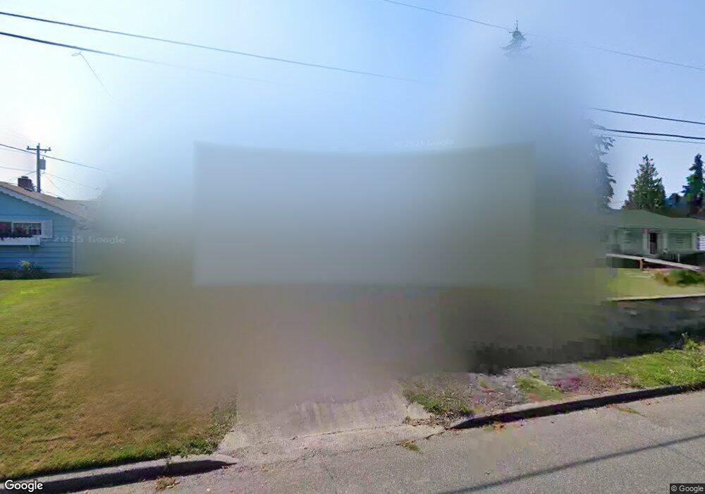
408 50th St SW Everett, WA 98203
View Ridge Madison NeighborhoodEstimated Value: $503,000 - $563,000
2
Beds
1
Bath
830
Sq Ft
$637/Sq Ft
Est. Value
About This Home
This home is located at 408 50th St SW, Everett, WA 98203 and is currently estimated at $528,573, approximately $636 per square foot. 408 50th St SW is a home located in Snohomish County with nearby schools including View Ridge Elementary School, Evergreen Middle School, and Everett High School.
Ownership History
Date
Name
Owned For
Owner Type
Purchase Details
Closed on
Jun 6, 2007
Sold by
Turcot Gregory Brett
Bought by
Pettijohn Carol
Current Estimated Value
Home Financials for this Owner
Home Financials are based on the most recent Mortgage that was taken out on this home.
Original Mortgage
$223,960
Outstanding Balance
$132,635
Interest Rate
6.14%
Mortgage Type
Purchase Money Mortgage
Estimated Equity
$395,938
Purchase Details
Closed on
Feb 11, 2003
Sold by
Snow Patricia L
Bought by
Turcot Gregory Brett
Home Financials for this Owner
Home Financials are based on the most recent Mortgage that was taken out on this home.
Original Mortgage
$100,000
Interest Rate
5.16%
Create a Home Valuation Report for This Property
The Home Valuation Report is an in-depth analysis detailing your home's value as well as a comparison with similar homes in the area
Home Values in the Area
Average Home Value in this Area
Purchase History
| Date | Buyer | Sale Price | Title Company |
|---|---|---|---|
| Pettijohn Carol | $279,950 | Pacific Northwest Title Comp | |
| Turcot Gregory Brett | $129,950 | Pacific Northwest Title Co |
Source: Public Records
Mortgage History
| Date | Status | Borrower | Loan Amount |
|---|---|---|---|
| Open | Pettijohn Carol | $223,960 | |
| Previous Owner | Turcot Gregory Brett | $100,000 |
Source: Public Records
Tax History
| Year | Tax Paid | Tax Assessment Tax Assessment Total Assessment is a certain percentage of the fair market value that is determined by local assessors to be the total taxable value of land and additions on the property. | Land | Improvement |
|---|---|---|---|---|
| 2026 | $3,781 | $480,600 | $380,200 | $100,400 |
| 2025 | $3,742 | $433,700 | $338,100 | $95,600 |
| 2024 | $3,742 | $435,700 | $340,100 | $95,600 |
| 2023 | $3,800 | $462,700 | $345,000 | $117,700 |
| 2022 | $3,238 | $353,700 | $254,000 | $99,700 |
| 2020 | $3,256 | $290,100 | $203,000 | $87,100 |
| 2019 | $3,122 | $279,900 | $195,000 | $84,900 |
| 2018 | $2,996 | $246,200 | $167,000 | $79,200 |
| 2017 | $2,576 | $210,800 | $138,000 | $72,800 |
| 2016 | $2,482 | $213,500 | $115,000 | $98,500 |
| 2015 | $2,222 | $180,100 | $99,000 | $81,100 |
| 2013 | $2,011 | $143,800 | $77,000 | $66,800 |
Source: Public Records
Map
Nearby Homes
- 16 60th Place SE
- 5620 Seahurst Ave
- 5209 Glenwood Ave
- 5525 Glenwood Ave
- 330 Elm St Unit 201
- 5909 Glenwood Ave
- 1033 W Mukilteo Blvd
- 5300 Glenwood Ave Unit R1
- 5300 Glenwood Ave Unit U2
- 6327 Polk Place
- 1621 Edgemoor Ln
- 5304 Fleming St Unit B
- 4711 Castle Ln
- 1230 58th St SW Unit A1
- 6303 Cady Rd
- 1713 Bailey Ave
- 5807 14th Dr W Unit C2
- 5620 14th Dr W Unit 302
- 1719 Bailey Ave
- 4325 Federal Ave
Your Personal Tour Guide
Ask me questions while you tour the home.