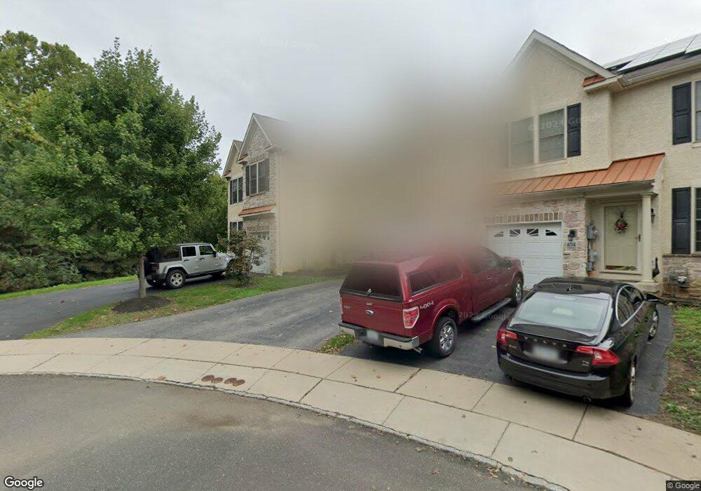
408 Barefield Ln Conshohocken, PA 19428
Estimated Value: $597,000 - $669,000
3
Beds
3
Baths
2,668
Sq Ft
$235/Sq Ft
Est. Value
About This Home
This home is located at 408 Barefield Ln, Conshohocken, PA 19428 and is currently estimated at $626,275, approximately $234 per square foot. 408 Barefield Ln is a home located in Montgomery County with nearby schools including Plymouth Elementary School, Colonial Elementary School, and Colonial Middle School.
Ownership History
Date
Name
Owned For
Owner Type
Purchase Details
Closed on
Feb 27, 2014
Sold by
S S D Properties Lp
Bought by
Sturm Quentin C and Sturm Caroline R
Current Estimated Value
Home Financials for this Owner
Home Financials are based on the most recent Mortgage that was taken out on this home.
Original Mortgage
$320,000
Outstanding Balance
$241,717
Interest Rate
4.25%
Mortgage Type
New Conventional
Estimated Equity
$384,558
Purchase Details
Closed on
Mar 31, 2006
Sold by
Hillcrest Glen Lp
Bought by
Ssd Prop Lp
Home Financials for this Owner
Home Financials are based on the most recent Mortgage that was taken out on this home.
Original Mortgage
$1,575,000
Interest Rate
6.28%
Create a Home Valuation Report for This Property
The Home Valuation Report is an in-depth analysis detailing your home's value as well as a comparison with similar homes in the area
Home Values in the Area
Average Home Value in this Area
Purchase History
| Date | Buyer | Sale Price | Title Company |
|---|---|---|---|
| Sturm Quentin C | $410,000 | None Available | |
| Ssd Prop Lp | -- | None Available |
Source: Public Records
Mortgage History
| Date | Status | Borrower | Loan Amount |
|---|---|---|---|
| Open | Sturm Quentin C | $320,000 | |
| Previous Owner | Ssd Prop Lp | $1,575,000 |
Source: Public Records
Tax History Compared to Growth
Tax History
| Year | Tax Paid | Tax Assessment Tax Assessment Total Assessment is a certain percentage of the fair market value that is determined by local assessors to be the total taxable value of land and additions on the property. | Land | Improvement |
|---|---|---|---|---|
| 2025 | $7,137 | $217,470 | -- | -- |
| 2024 | $7,137 | $217,470 | -- | -- |
| 2023 | $6,859 | $217,470 | $0 | $0 |
| 2022 | $6,704 | $217,470 | $0 | $0 |
| 2021 | $6,482 | $217,470 | $0 | $0 |
| 2020 | $6,259 | $217,470 | $0 | $0 |
| 2019 | $6,073 | $217,470 | $0 | $0 |
| 2018 | $1,294 | $217,470 | $0 | $0 |
| 2017 | $5,853 | $217,470 | $0 | $0 |
| 2016 | $5,768 | $217,470 | $0 | $0 |
| 2015 | $5,406 | $217,470 | $0 | $0 |
| 2014 | $5,406 | $217,470 | $0 | $0 |
Source: Public Records
Map
Nearby Homes
- 1975 West Ave
- 1705 Harmon Rd
- 121 Scarlet Dr
- 1211 Woodside Rd
- 535 Palmer Rd
- 1004 Aspen Ct
- 461 W 11th Ave
- 1410 Butler Pike
- 1408 Butler Pike
- 10 Maple Dr
- 117 Karrs Ln
- 219 W 11th Ave
- 140 W 11th Ave
- 133 Sutcliffe Ln
- 264 Roberts Ave Unit 10
- 2017 Spring Mill Rd
- 635 Wood St
- 345 W 6th Ave
- 33 E 8th Ave Unit 55
- 253 E 10th Ave